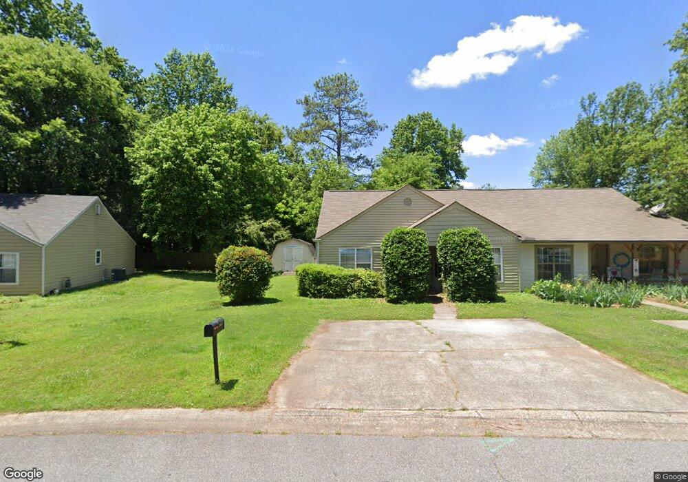
5147 Hill Farm Dr NE Unit IV Woodstock, GA 30188
Sandy Plains NeighborhoodEstimated Value: $228,736 - $267,000
2
Beds
2
Baths
1,124
Sq Ft
$219/Sq Ft
Est. Value
About This Home
This home is located at 5147 Hill Farm Dr NE Unit IV, Woodstock, GA 30188 and is currently estimated at $245,934, approximately $218 per square foot. 5147 Hill Farm Dr NE Unit IV is a home located in Cobb County with nearby schools including Nicholson Elementary School, McCleskey Middle School, and Kell High School.
Ownership History
Date
Name
Owned For
Owner Type
Purchase Details
Closed on
Nov 25, 1997
Sold by
Moss Wm C and Ehler Renee A
Bought by
Groves Jason D
Current Estimated Value
Home Financials for this Owner
Home Financials are based on the most recent Mortgage that was taken out on this home.
Original Mortgage
$64,622
Outstanding Balance
$10,521
Interest Rate
7.19%
Mortgage Type
FHA
Estimated Equity
$235,413
Create a Home Valuation Report for This Property
The Home Valuation Report is an in-depth analysis detailing your home's value as well as a comparison with similar homes in the area
Home Values in the Area
Average Home Value in this Area
Purchase History
| Date | Buyer | Sale Price | Title Company |
|---|---|---|---|
| Groves Jason D | $66,000 | -- |
Source: Public Records
Mortgage History
| Date | Status | Borrower | Loan Amount |
|---|---|---|---|
| Open | Groves Jason D | $64,622 |
Source: Public Records
Tax History Compared to Growth
Tax History
| Year | Tax Paid | Tax Assessment Tax Assessment Total Assessment is a certain percentage of the fair market value that is determined by local assessors to be the total taxable value of land and additions on the property. | Land | Improvement |
|---|---|---|---|---|
| 2025 | $2,046 | $99,136 | $28,000 | $71,136 |
| 2024 | $1,696 | $82,904 | $24,000 | $58,904 |
| 2023 | $996 | $72,540 | $18,000 | $54,540 |
| 2022 | $1,361 | $66,904 | $16,000 | $50,904 |
| 2021 | $925 | $47,012 | $12,000 | $35,012 |
| 2020 | $844 | $43,300 | $8,000 | $35,300 |
| 2019 | $844 | $43,300 | $8,000 | $35,300 |
| 2018 | $661 | $34,944 | $8,000 | $26,944 |
| 2017 | $604 | $32,972 | $8,000 | $24,972 |
| 2016 | $418 | $24,444 | $4,800 | $19,644 |
| 2015 | $382 | $22,360 | $4,800 | $17,560 |
| 2014 | $385 | $22,360 | $0 | $0 |
Source: Public Records
Map
Nearby Homes
- 294 Farm Ridge Dr NE
- 5142 Farm Place Dr NE
- 540 Stockwood Dr
- 162 Ridgewood Dr
- The Gavin E Plan at The Village at Shallowford - Signature Series
- The Marion A Plan at The Village at Shallowford - Classic Series
- The Cary A Plan at The Village at Shallowford - Classic Series
- 4669 Blue Topaz Trail
- 4793 Moonstone Trace
- 4785 Moonstone Trace
- 4778 Moonstone Trace
- 707 Smokey Quartz Way
- 710 Smokey Quartz Way
- 694 Smokey Quartz Way
- 4785 Moonstone Trace NE
- 703 Smokey Quartz Way
- 706 Smokey Quartz Way
- 702 Smokey Quartz Way
- 5149 Hill Farm Dr NE
- 5145 Hill Farm Dr NE
- 5145 Hill Farm Dr NE Unit 150A
- 0 Hill Farm Dr NE Unit 7002717
- 0 Hill Farm Dr NE Unit 3263651
- 0 Hill Farm Dr NE Unit 8246435
- 0 Hill Farm Dr NE Unit 8709721
- 0 Hill Farm Dr NE Unit 8464501
- 0 Hill Farm Dr NE Unit 8446674
- 0 Hill Farm Dr NE Unit 8218978
- 0 Hill Farm Dr NE Unit 7628932
- 0 Hill Farm Dr NE Unit 7597724
- 0 Hill Farm Dr NE Unit 7197945
- 0 Hill Farm Dr NE Unit 7186129
- 0 Hill Farm Dr NE Unit 8904594
- 0 Hill Farm Dr NE Unit 8892867
- 0 Hill Farm Dr NE Unit 8844660
- 0 Hill Farm Dr NE Unit 8774876
- 0 Hill Farm Dr NE Unit 8246308
- 0 Hill Farm Dr NE Unit 8185814