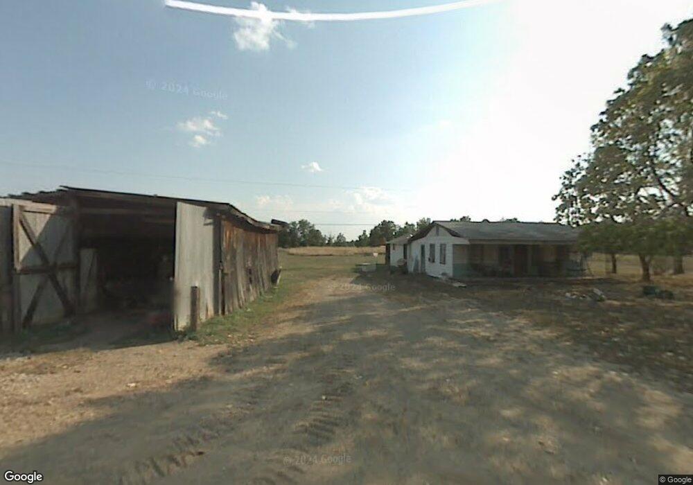
51485 Rainbow Ridge Rd Long Bottom, OH 45743
Estimated Value: $140,000
--
Bed
1
Bath
644
Sq Ft
$217/Sq Ft
Est. Value
About This Home
This home is located at 51485 Rainbow Ridge Rd, Long Bottom, OH 45743 and is currently estimated at $140,000, approximately $217 per square foot. 51485 Rainbow Ridge Rd is a home located in Meigs County with nearby schools including Eastern Elementary School and Eastern High School.
Ownership History
Date
Name
Owned For
Owner Type
Purchase Details
Closed on
Apr 16, 2025
Sold by
Boggs Troy Eugene
Bought by
Varian James Ray
Current Estimated Value
Purchase Details
Closed on
Nov 26, 2018
Sold by
Evans Melinda L
Bought by
Boggs Troy Eugene
Purchase Details
Closed on
Jan 19, 2018
Sold by
Styer Kevin L and Styer Michelle
Bought by
Evans Melinda L
Purchase Details
Closed on
Oct 17, 2017
Sold by
Estate Of Christopher M Styer
Bought by
Styer Kevin L and Evans Melinda L
Purchase Details
Closed on
Feb 5, 1999
Bought by
Styer Christopher M Boggs Troy Euge
Create a Home Valuation Report for This Property
The Home Valuation Report is an in-depth analysis detailing your home's value as well as a comparison with similar homes in the area
Home Values in the Area
Average Home Value in this Area
Purchase History
| Date | Buyer | Sale Price | Title Company |
|---|---|---|---|
| Varian James Ray | $5,000 | None Listed On Document | |
| Boggs Troy Eugene | -- | None Available | |
| Evans Melinda L | $16,000 | None Available | |
| Styer Kevin L | -- | None Available | |
| Styer Christopher M Boggs Troy Euge | $1,000 | -- |
Source: Public Records
Tax History Compared to Growth
Tax History
| Year | Tax Paid | Tax Assessment Tax Assessment Total Assessment is a certain percentage of the fair market value that is determined by local assessors to be the total taxable value of land and additions on the property. | Land | Improvement |
|---|---|---|---|---|
| 2024 | $864 | $26,460 | $18,620 | $7,840 |
| 2023 | $864 | $26,460 | $18,620 | $7,840 |
| 2022 | $870 | $26,460 | $18,620 | $7,840 |
| 2021 | $881 | $25,480 | $18,640 | $6,840 |
| 2020 | $870 | $25,480 | $18,640 | $6,840 |
| 2019 | $877 | $25,480 | $18,640 | $6,840 |
| 2018 | $737 | $22,410 | $15,570 | $6,840 |
| 2017 | $737 | $22,410 | $15,570 | $6,840 |
| 2016 | $764 | $22,410 | $15,570 | $6,840 |
| 2014 | $380 | $21,330 | $15,570 | $5,760 |
| 2013 | $380 | $21,270 | $15,570 | $5,700 |
Source: Public Records
Map
Nearby Homes
- 0 Mount Olive Rd Unit 20799198
- 34618 Bashan Rd
- 0 Bigley Ridge Rd
- 0 Bigley Run Rd
- 0 Wells Run Rd
- 37227 Bashan Rd
- 48175 Scout Camp Rd
- West Unit LotWP001
- 52790 Curtis Hollow Rd
- E Lovett Rd Unit LotWP001
- 0 West Lovett Rd
- 0 Lovett Rd Unit 2433937
- 0 Lovett Rd Unit LotWP001 24637379
- 0 Lovett Rd
- 0 Putnam Dr
- 53625 Durst Rd
- 0 Little Forest Run Rd
- 5256 Ravenswood Rd
- 0 E Little Forest Run Rd
- 39834 State Route 7
- 51485 Rainbow Ridge Rd
- 34960 Hensley Rd
- 35131 Hensley Rd
- 35159 Hensley Rd
- E & W Side TR 149 Long Run Rd
- 149 Long Run Rd
- 60014 State Route 124
- 51057 Rainbow Ridge Rd
- 60836 State Route 124
- 60564 State Route 124
- E&W Side Tr149 Long Run Rd
- 60664 Ohio 124
- 34017 Long Run Rd
- 51165 Mount Olive Rd
- 50680 Tr 43 Rainbow Ridge Rd Rd
- 60588 State Route 124