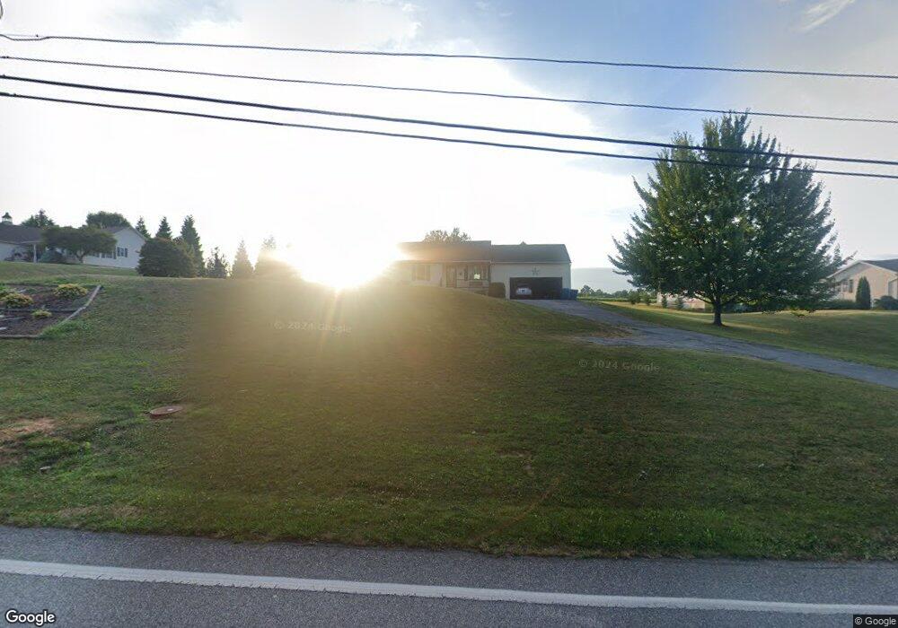
5149 Lehman Rd Spring Grove, PA 17362
Estimated Value: $312,031 - $334,000
3
Beds
2
Baths
1,414
Sq Ft
$230/Sq Ft
Est. Value
About This Home
This home is located at 5149 Lehman Rd, Spring Grove, PA 17362 and is currently estimated at $325,758, approximately $230 per square foot. 5149 Lehman Rd is a home located in York County with nearby schools including Spring Grove Area Middle School, Spring Grove Area High School, and Garbers Mennonite School.
Ownership History
Date
Name
Owned For
Owner Type
Purchase Details
Closed on
May 15, 2003
Sold by
Blevins Edgar C and Blevins Edgar R
Bought by
Blevins Edgar R and Blevins Cherie L
Current Estimated Value
Purchase Details
Closed on
Nov 26, 2002
Sold by
Mason Dixon Contracting Inc
Bought by
Blevins Edgar C
Home Financials for this Owner
Home Financials are based on the most recent Mortgage that was taken out on this home.
Original Mortgage
$133,650
Outstanding Balance
$57,822
Interest Rate
6.34%
Mortgage Type
Purchase Money Mortgage
Estimated Equity
$267,936
Create a Home Valuation Report for This Property
The Home Valuation Report is an in-depth analysis detailing your home's value as well as a comparison with similar homes in the area
Home Values in the Area
Average Home Value in this Area
Purchase History
| Date | Buyer | Sale Price | Title Company |
|---|---|---|---|
| Blevins Edgar R | -- | -- | |
| Blevins Edgar C | $148,500 | -- |
Source: Public Records
Mortgage History
| Date | Status | Borrower | Loan Amount |
|---|---|---|---|
| Open | Blevins Edgar C | $133,650 |
Source: Public Records
Tax History Compared to Growth
Tax History
| Year | Tax Paid | Tax Assessment Tax Assessment Total Assessment is a certain percentage of the fair market value that is determined by local assessors to be the total taxable value of land and additions on the property. | Land | Improvement |
|---|---|---|---|---|
| 2025 | $4,987 | $149,530 | $36,620 | $112,910 |
| 2024 | $4,933 | $149,530 | $36,620 | $112,910 |
| 2023 | $4,933 | $149,530 | $36,620 | $112,910 |
| 2022 | $4,933 | $149,530 | $36,620 | $112,910 |
| 2021 | $4,720 | $149,530 | $36,620 | $112,910 |
| 2020 | $4,720 | $149,530 | $36,620 | $112,910 |
| 2019 | $4,686 | $149,530 | $36,620 | $112,910 |
| 2018 | $4,624 | $149,530 | $36,620 | $112,910 |
| 2017 | $4,519 | $149,530 | $36,620 | $112,910 |
| 2016 | $0 | $149,530 | $36,620 | $112,910 |
| 2015 | -- | $149,530 | $36,620 | $112,910 |
| 2014 | -- | $149,530 | $36,620 | $112,910 |
Source: Public Records
Map
Nearby Homes
- 1941 Cedar Dr
- 2029 Stoverstown Rd
- 4918 Greenwood Ln
- 1934 Forge Heights Ln
- 46 N Main St
- 145 N Main St
- 1982 Whyte Ln
- 156 N Walnut St
- 4861 Zeiglers Church Rd
- 540 Monocacy Trail
- St. Michaels Model 5 Monocacy Trail
- 544 Monocacy Trail
- 1495 Jefferson Rd
- 214 Hauer Terrace
- 2060 Paperback Way
- 335 Cape Climb
- 2025 Paperback Way
- 568 Monocacy Trail
- 2022 Paperback Way
- 562 Monocacy Trail