Estimated Value: $237,000 - $330,000
3
Beds
2
Baths
1,504
Sq Ft
$185/Sq Ft
Est. Value
About This Home
This home is located at 5149 S Forrest Hill Rd, Atoka, OK 74525 and is currently estimated at $278,273, approximately $185 per square foot. 5149 S Forrest Hill Rd is a home located in Atoka County with nearby schools including Harmony Public School.
Ownership History
Date
Name
Owned For
Owner Type
Purchase Details
Closed on
Sep 13, 2024
Sold by
Buchanan Frankie J
Bought by
Ansley Wynona E
Current Estimated Value
Home Financials for this Owner
Home Financials are based on the most recent Mortgage that was taken out on this home.
Original Mortgage
$129,311
Outstanding Balance
$103,717
Interest Rate
0.52%
Mortgage Type
Construction
Estimated Equity
$174,556
Purchase Details
Closed on
Sep 21, 2012
Sold by
Ronald Faulkenberry
Bought by
Doolen Jon and Doolen Charlie
Create a Home Valuation Report for This Property
The Home Valuation Report is an in-depth analysis detailing your home's value as well as a comparison with similar homes in the area
Home Values in the Area
Average Home Value in this Area
Purchase History
| Date | Buyer | Sale Price | Title Company |
|---|---|---|---|
| Ansley Wynona E | $275,000 | -- | |
| Doolen Jon | $240,000 | -- |
Source: Public Records
Mortgage History
| Date | Status | Borrower | Loan Amount |
|---|---|---|---|
| Open | Ansley Wynona E | $129,311 |
Source: Public Records
Tax History Compared to Growth
Tax History
| Year | Tax Paid | Tax Assessment Tax Assessment Total Assessment is a certain percentage of the fair market value that is determined by local assessors to be the total taxable value of land and additions on the property. | Land | Improvement |
|---|---|---|---|---|
| 2024 | $1,665 | $22,324 | $1,349 | $20,975 |
| 2023 | $1,617 | $21,674 | $1,349 | $20,325 |
| 2022 | $1,205 | $17,159 | $764 | $16,395 |
| 2021 | $1,168 | $16,659 | $764 | $15,895 |
| 2020 | $1,132 | $16,174 | $764 | $15,410 |
| 2019 | $1,097 | $15,703 | $764 | $14,939 |
| 2018 | $1,069 | $15,245 | $764 | $14,481 |
| 2017 | $1,097 | $15,628 | $764 | $14,864 |
| 2016 | $1,381 | $19,331 | $764 | $18,567 |
| 2015 | $1,466 | $20,595 | $1,773 | $18,822 |
| 2014 | $1,467 | $20,613 | $1,713 | $18,900 |
Source: Public Records
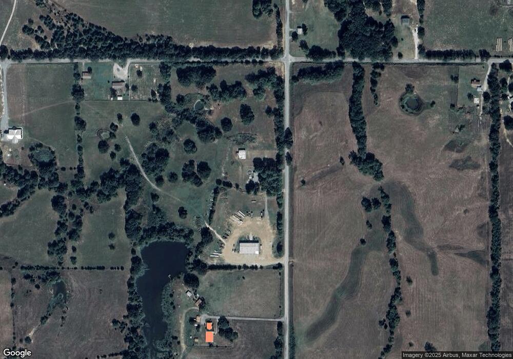
Map
Nearby Homes
- 0 S Forrest Hill Rd
- 3153 E Boggy Depot Rd
- 0 S Half Bank Unit 2543004
- 0 S Half Bank Unit 2525754
- 2284 E Roping Rd
- 00018 E Windy Ln
- 1411 W Dairy Ln
- 2279 E Decker Dr
- 161 N Hickory Ave
- 6676 State Highway 3
- 2289 W Community Chapel Rd
- 00 Katy Rd
- 2067 S Mississippi Ave
- 3526 S Mississippi Ave
- 0 Katy Rd
- 000 Oak Tree
- 2736 E Windy Ln
- 1 Oak Tree
- 0 S Gin Rd
- 7951 S Katy Rd
- 0000 Boggy Depot Rd
- 5295 S Forrest Hill Rd
- 3506 E Boggy Depot Rd
- 3240 E Boggy Depot Rd
- 4862 S Forrest Hill Rd
- 4862 S Forrest Hill Rd
- 3270 E Boggy Depot Rd
- 5488 S Forrest Hill Rd
- 5488 S Forrest Hill Rd
- 560 S Forrest Hill Rd Unit B
- 560 S Forrest Hill Rd Unit C
- 560 S Forrest Hill Rd Unit A
- 2380 E Boggy Depot Rd
- 0 S Lane Rd
- 000 S Lane Rd
- 3526 E Boggy Depot Rd
- 354 E Boggy Depot Rd
- 4495 S Forrest Hill Rd
- 3567 E Boggy Depot Rd
- 0 Lane Unit 1723576