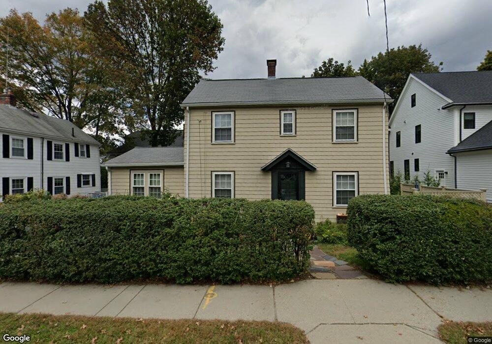
515 Auburn St Auburndale, MA 02466
Auburndale NeighborhoodEstimated Value: $1,006,000 - $1,240,000
3
Beds
2
Baths
1,506
Sq Ft
$766/Sq Ft
Est. Value
About This Home
This home is located at 515 Auburn St, Auburndale, MA 02466 and is currently estimated at $1,153,256, approximately $765 per square foot. 515 Auburn St is a home located in Middlesex County with nearby schools including Williams Elementary School, C.C. Burr, and Charles E Brown Middle School.
Ownership History
Date
Name
Owned For
Owner Type
Purchase Details
Closed on
Oct 24, 2007
Sold by
Butler Martha A
Bought by
Bassett Lawrence J and Butler Martha A
Current Estimated Value
Home Financials for this Owner
Home Financials are based on the most recent Mortgage that was taken out on this home.
Original Mortgage
$203,000
Outstanding Balance
$127,922
Interest Rate
6.39%
Mortgage Type
Purchase Money Mortgage
Estimated Equity
$1,025,334
Purchase Details
Closed on
Dec 14, 1990
Sold by
Bender Walter R
Bought by
Butler Martha A
Home Financials for this Owner
Home Financials are based on the most recent Mortgage that was taken out on this home.
Original Mortgage
$136,000
Interest Rate
10.07%
Mortgage Type
Purchase Money Mortgage
Create a Home Valuation Report for This Property
The Home Valuation Report is an in-depth analysis detailing your home's value as well as a comparison with similar homes in the area
Home Values in the Area
Average Home Value in this Area
Purchase History
| Date | Buyer | Sale Price | Title Company |
|---|---|---|---|
| Bassett Lawrence J | -- | -- | |
| Butler Martha A | $170,000 | -- |
Source: Public Records
Mortgage History
| Date | Status | Borrower | Loan Amount |
|---|---|---|---|
| Open | Bassett Lawrence J | $203,000 | |
| Previous Owner | Butler Martha A | $132,000 | |
| Previous Owner | Butler Martha A | $136,000 |
Source: Public Records
Tax History Compared to Growth
Tax History
| Year | Tax Paid | Tax Assessment Tax Assessment Total Assessment is a certain percentage of the fair market value that is determined by local assessors to be the total taxable value of land and additions on the property. | Land | Improvement |
|---|---|---|---|---|
| 2025 | $9,122 | $930,800 | $760,400 | $170,400 |
| 2024 | $8,820 | $903,700 | $738,300 | $165,400 |
| 2023 | $8,359 | $821,100 | $554,400 | $266,700 |
| 2022 | $7,998 | $760,300 | $513,300 | $247,000 |
| 2021 | $7,718 | $717,300 | $484,200 | $233,100 |
| 2020 | $7,489 | $717,300 | $484,200 | $233,100 |
| 2019 | $7,277 | $696,400 | $470,100 | $226,300 |
| 2018 | $6,920 | $639,600 | $427,600 | $212,000 |
| 2017 | $6,710 | $603,400 | $403,400 | $200,000 |
| 2016 | $6,417 | $563,900 | $377,000 | $186,900 |
| 2015 | $6,118 | $527,000 | $352,300 | $174,700 |
Source: Public Records
Map
Nearby Homes
- 2202 Commonwealth Ave Unit 2
- 2202 Commonwealth Ave Unit 1
- 283 Melrose St
- 17 Lasell St
- 27 Oakwood Rd
- 224 Auburn St Unit 224
- 224 Auburn St Unit A
- 226 Auburn St Unit 226
- 62-64 Rowe St Unit B
- 49 Staniford St
- 13 Weir St
- 283 Woodland Rd
- 160 Pine St Unit 12
- 17 Deforest Rd
- 1754 Washington St
- 103 Loring Rd
- 1639 Washington St
- 17 Crescent St
- 51 Bourne St
- 17 Gilbert St
- 88 Bourne St
- 84 Bourne St Unit 86
- 509 Auburn St
- 80 Bourne St Unit 82
- 503 Auburn St
- 516 Auburn St
- 512 Auburn St
- 525 Auburn St
- 76 Bourne St
- 76 Bourne St Unit 76
- 76 Bourne St Unit 78
- 522 Auburn St
- 524 Auburn St
- 497 Auburn St
- 504 Auburn St
- 504 Auburn St Unit 1
- 78 Bourne St
- 529 Auburn St
- 7 Johnson Place
- 7 Johnson Place Unit A