515 Branch Rd Scottsville, VA 24590
Estimated Value: $313,000 - $355,000
2
Beds
2
Baths
1,432
Sq Ft
$233/Sq Ft
Est. Value
About This Home
This home is located at 515 Branch Rd, Scottsville, VA 24590 and is currently estimated at $334,229, approximately $233 per square foot. 515 Branch Rd is a home located in Fluvanna County with nearby schools including Central Elementary School, West Central Primary School, and Carysbrook Elementary School.
Ownership History
Date
Name
Owned For
Owner Type
Purchase Details
Closed on
Jan 29, 2018
Sold by
Gunter Robert L and Gunter Eunice H
Bought by
Barker Jeffrey Alan
Current Estimated Value
Home Financials for this Owner
Home Financials are based on the most recent Mortgage that was taken out on this home.
Original Mortgage
$138,000
Outstanding Balance
$116,756
Interest Rate
3.95%
Mortgage Type
New Conventional
Estimated Equity
$217,473
Create a Home Valuation Report for This Property
The Home Valuation Report is an in-depth analysis detailing your home's value as well as a comparison with similar homes in the area
Home Values in the Area
Average Home Value in this Area
Purchase History
| Date | Buyer | Sale Price | Title Company |
|---|---|---|---|
| Barker Jeffrey Alan | $172,500 | Chicago Title |
Source: Public Records
Mortgage History
| Date | Status | Borrower | Loan Amount |
|---|---|---|---|
| Open | Barker Jeffrey Alan | $138,000 |
Source: Public Records
Tax History Compared to Growth
Tax History
| Year | Tax Paid | Tax Assessment Tax Assessment Total Assessment is a certain percentage of the fair market value that is determined by local assessors to be the total taxable value of land and additions on the property. | Land | Improvement |
|---|---|---|---|---|
| 2025 | $2,003 | $267,000 | $45,500 | $221,500 |
| 2024 | $1,870 | $221,600 | $45,500 | $176,100 |
| 2023 | $1,870 | $221,600 | $45,500 | $176,100 |
| 2022 | $1,515 | $174,100 | $43,000 | $131,100 |
| 2021 | $1,515 | $174,100 | $43,000 | $131,100 |
| 2020 | $1,561 | $168,800 | $43,000 | $125,800 |
| 2019 | $1,561 | $168,800 | $43,000 | $125,800 |
| 2018 | $1,355 | $149,400 | $43,000 | $106,400 |
| 2017 | $1,355 | $149,400 | $43,000 | $106,400 |
| 2016 | $1,331 | $145,200 | $43,000 | $102,200 |
| 2015 | -- | $145,200 | $43,000 | $102,200 |
| 2014 | $1,243 | $141,300 | $43,000 | $98,300 |
Source: Public Records
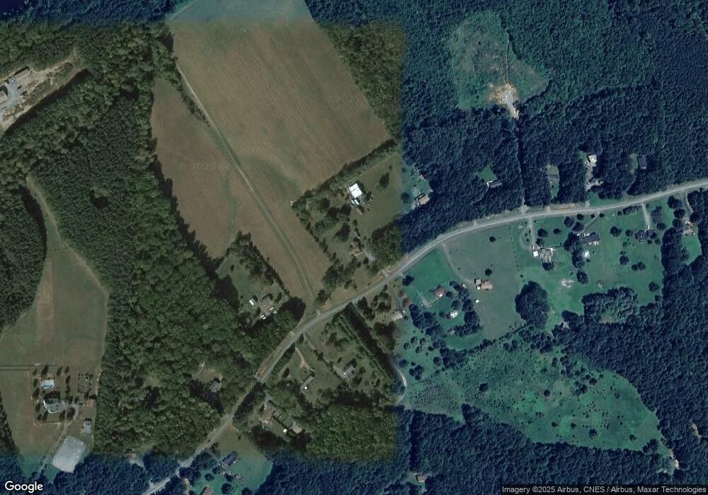
Map
Nearby Homes
- 568 Branch Rd
- 228 Antioch Springs Ln
- Lot 17 Rolling Rd S
- Lot 18 Rolling Rd S
- Lot 19 Rolling Rd S
- Lot 20 Rolling Rd S
- Lot 21 Rolling Rd S
- Lot 16 Briery Creek Rd
- Lot 15 Briery Creek Rd
- Lots 23-25 Oakwater Estates
- Lot 14 Briery Creek Rd
- Lot 13 Briery Creek Rd
- Lot 12 Briery Creek Rd
- Lot 16 Briery Creek Rd
- Lot 15 Briery Creek Rd
- 3785 Rolling Rd S
- Lot 21 Rolling Rd S
- Lot 18 Rolling Rd S
- Lot 17 Rolling Rd S
- Lot 19 Rolling Rd S
- 502 Branch Rd
- 571 Branch Rd
- 571 Branch Rd
- 542 Branch Rd
- 411 Branch Rd
- 426 Branch Rd
- 426 Branch Rd
- 394 Branch Rd
- 623 Branch Rd
- 377 Branch Rd
- TBD1 Branch Dr
- TBD Branch Dr Rd
- TBD Branch Dr
- 360 Branch Rd
- 347 Branch Rd
- 673 Branch Rd
- 656 Branch Rd
- 0 Cunningham Heights Ln Unit 602125
- 0 Cunningham Heights Ln Unit 602124
- 0 Cunningham Heights Ln Unit 20A 602124