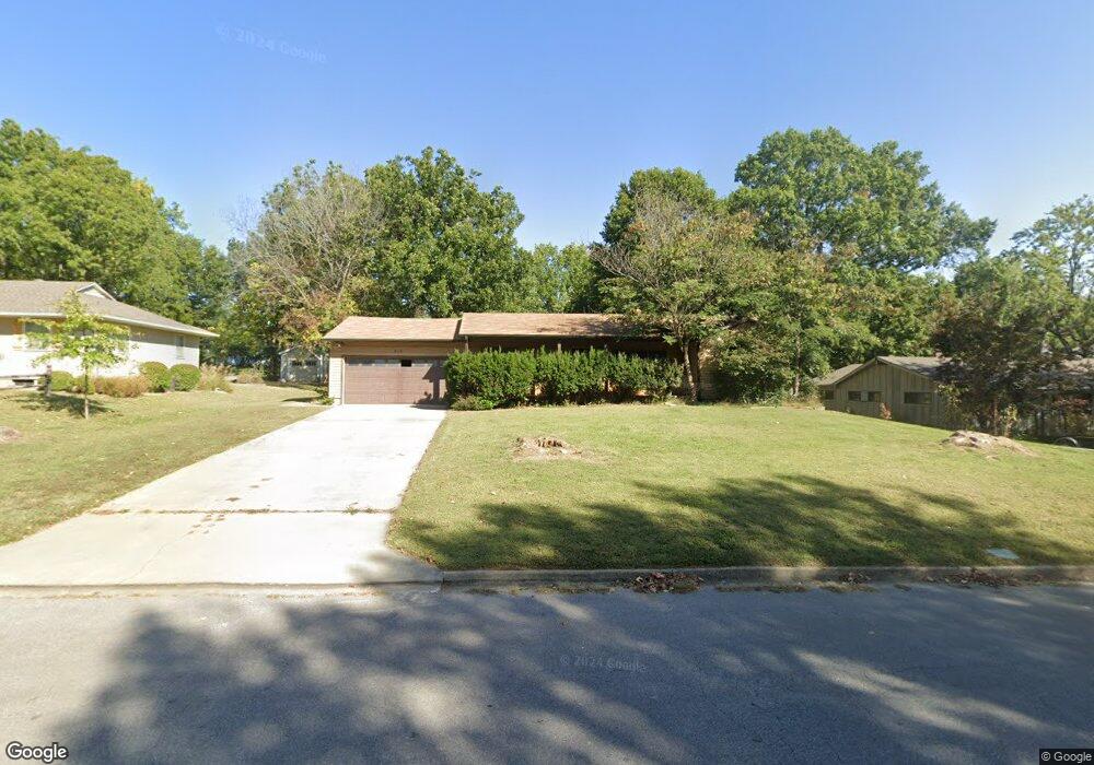
515 Christopher St Warrensburg, MO 64093
Estimated Value: $237,000 - $283,000
3
Beds
2
Baths
2,379
Sq Ft
$109/Sq Ft
Est. Value
About This Home
This home is located at 515 Christopher St, Warrensburg, MO 64093 and is currently estimated at $260,189, approximately $109 per square foot. 515 Christopher St is a home located in Johnson County with nearby schools including Maple Grove Elementary School, Martin Warren Elementary School, and Warrensburg Middle School.
Ownership History
Date
Name
Owned For
Owner Type
Purchase Details
Closed on
Jun 18, 2025
Sold by
Loyd Deborah R and Snook Deborah R
Bought by
Todd Keegan
Current Estimated Value
Home Financials for this Owner
Home Financials are based on the most recent Mortgage that was taken out on this home.
Original Mortgage
$167,902
Outstanding Balance
$166,875
Interest Rate
6.76%
Mortgage Type
FHA
Estimated Equity
$93,314
Purchase Details
Closed on
Mar 9, 2006
Sold by
Snook Arthur A
Bought by
Snook Deborah R
Create a Home Valuation Report for This Property
The Home Valuation Report is an in-depth analysis detailing your home's value as well as a comparison with similar homes in the area
Home Values in the Area
Average Home Value in this Area
Purchase History
| Date | Buyer | Sale Price | Title Company |
|---|---|---|---|
| Todd Keegan | -- | Western Missouri Title | |
| Todd Keegan | -- | Western Missouri Title | |
| Snook Deborah R | -- | -- |
Source: Public Records
Mortgage History
| Date | Status | Borrower | Loan Amount |
|---|---|---|---|
| Open | Todd Keegan | $167,902 | |
| Closed | Todd Keegan | $167,902 |
Source: Public Records
Tax History
| Year | Tax Paid | Tax Assessment Tax Assessment Total Assessment is a certain percentage of the fair market value that is determined by local assessors to be the total taxable value of land and additions on the property. | Land | Improvement |
|---|---|---|---|---|
| 2025 | $2,026 | $27,006 | $0 | $0 |
| 2024 | $1,896 | $24,835 | $0 | $0 |
| 2023 | $1,896 | $24,835 | $0 | $0 |
| 2022 | $1,828 | $23,837 | $0 | $0 |
| 2021 | $1,822 | $23,837 | $0 | $0 |
| 2020 | $1,765 | $22,834 | $0 | $0 |
| 2019 | $1,763 | $22,834 | $0 | $0 |
| 2017 | $1,752 | $22,739 | $0 | $0 |
| 2016 | $1,614 | $22,739 | $0 | $0 |
| 2015 | $1,658 | $22,739 | $0 | $0 |
| 2014 | $1,439 | $22,739 | $0 | $0 |
Source: Public Records
Map
Nearby Homes
- 300 Zoll St
- 612 Christopher St
- 133 N Water St
- 623 Christopher St
- 432 E Market St
- 103 N Mitchell St
- 1008 Anderson St
- 713 Tyler Ave
- 408 E Gay St
- 700 E Clark St
- 942 Ridge Dr
- 300 9th St
- 903 E Clark St
- 611 S Maguire St
- 109 Commercial St
- 912 Vest Dr
- 201 E Culton 203 N College St
- 311 Franklin Ave
- 503 Wilkes Dr
- 530 Hamilton St
- 519 Christopher St
- 513 Christopher St
- 601 Christopher St
- 511 Christopher St
- 516 Broad St
- 514 Broad St
- 512 Christopher St
- 600 Broad St
- 510 Christopher St
- 510 Broad St
- 512 Broad St
- 600 Christopher St
- 602 Broad St
- 505 Christopher St
- 506 Christopher St
- 508 Broad St
- 604 Broad St
- 503 Christopher St
- 609 Christopher St
- 610 Christopher St
Your Personal Tour Guide
Ask me questions while you tour the home.