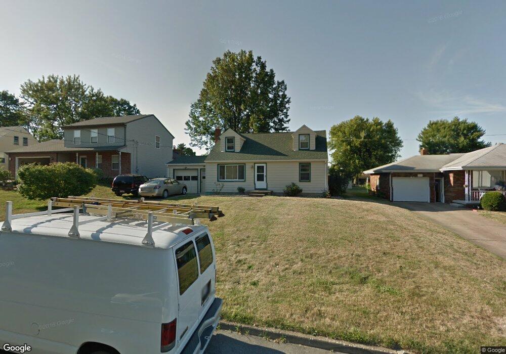
515 Como St Struthers, OH 44471
Estimated Value: $138,508 - $184,000
3
Beds
1
Bath
1,326
Sq Ft
$124/Sq Ft
Est. Value
About This Home
This home is located at 515 Como St, Struthers, OH 44471 and is currently estimated at $163,877, approximately $123 per square foot. 515 Como St is a home located in Mahoning County with nearby schools including Struthers Elementary School, Struthers Middle School, and Struthers High School.
Ownership History
Date
Name
Owned For
Owner Type
Purchase Details
Closed on
Oct 19, 2001
Sold by
Dorothy Fix
Bought by
Dibacco Jeanette A
Current Estimated Value
Home Financials for this Owner
Home Financials are based on the most recent Mortgage that was taken out on this home.
Original Mortgage
$52,700
Outstanding Balance
$19,693
Interest Rate
6.88%
Estimated Equity
$144,184
Purchase Details
Closed on
Sep 18, 1987
Bought by
Fix Dorothy
Create a Home Valuation Report for This Property
The Home Valuation Report is an in-depth analysis detailing your home's value as well as a comparison with similar homes in the area
Home Values in the Area
Average Home Value in this Area
Purchase History
| Date | Buyer | Sale Price | Title Company |
|---|---|---|---|
| Dibacco Jeanette A | $62,000 | -- | |
| Fix Dorothy | -- | -- |
Source: Public Records
Mortgage History
| Date | Status | Borrower | Loan Amount |
|---|---|---|---|
| Open | Dibacco Jeanette A | $52,700 |
Source: Public Records
Tax History
| Year | Tax Paid | Tax Assessment Tax Assessment Total Assessment is a certain percentage of the fair market value that is determined by local assessors to be the total taxable value of land and additions on the property. | Land | Improvement |
|---|---|---|---|---|
| 2025 | $1,442 | $34,640 | $2,710 | $31,930 |
| 2024 | $1,443 | $34,640 | $2,710 | $31,930 |
| 2023 | $1,418 | $34,640 | $2,710 | $31,930 |
| 2022 | $1,316 | $24,330 | $2,550 | $21,780 |
| 2021 | $1,304 | $24,330 | $2,550 | $21,780 |
| 2020 | $1,309 | $24,330 | $2,550 | $21,780 |
| 2019 | $1,254 | $21,160 | $2,220 | $18,940 |
| 2018 | $1,197 | $21,160 | $2,220 | $18,940 |
| 2017 | $1,194 | $21,160 | $2,220 | $18,940 |
| 2016 | $1,297 | $23,520 | $2,590 | $20,930 |
| 2015 | $1,266 | $23,520 | $2,590 | $20,930 |
| 2014 | $1,271 | $23,520 | $2,590 | $20,930 |
| 2013 | $1,181 | $23,520 | $2,590 | $20,930 |
Source: Public Records
Map
Nearby Homes
- 563 Geneva Ave
- 587 Edison St
- 611 W Wilson St
- 453 W Omar St
- 795 5th St
- 457 Sexton St
- 612 Maplewood Ave
- 2451 W Manor Ave
- 464 Elm St
- 610 Elm St
- 227 Wilson St
- 1933 Brandon Ave
- 1926 Brandon Ave
- 1928 Palo Verde Dr
- 281 Sexton St
- 265 Sexton St
- 1913 Country Club Ave
- 261 Sexton St
- 5007 Sheridan Rd
- 2215 Knollwood Ave
Your Personal Tour Guide
Ask me questions while you tour the home.