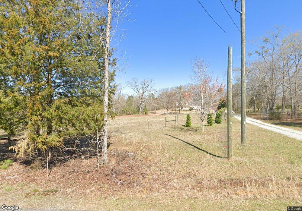
515 Daventon Rd Honea Path, SC 29654
Woodville NeighborhoodEstimated Value: $441,000 - $671,000
4
Beds
3
Baths
2,768
Sq Ft
$199/Sq Ft
Est. Value
About This Home
This home is located at 515 Daventon Rd, Honea Path, SC 29654 and is currently estimated at $550,428, approximately $198 per square foot. 515 Daventon Rd is a home located in Greenville County with nearby schools including Fork Shoals School, Ralph Chandler Middle, and Woodmont High School.
Ownership History
Date
Name
Owned For
Owner Type
Purchase Details
Closed on
May 3, 2007
Sold by
Garrett Hoby R
Bought by
Manning Robert and Manning Cheryl
Current Estimated Value
Purchase Details
Closed on
Nov 8, 2006
Sold by
Moon George L and Moon Elaine D
Bought by
Garrett Hoby R
Create a Home Valuation Report for This Property
The Home Valuation Report is an in-depth analysis detailing your home's value as well as a comparison with similar homes in the area
Home Values in the Area
Average Home Value in this Area
Purchase History
| Date | Buyer | Sale Price | Title Company |
|---|---|---|---|
| Manning Robert | $38,000 | None Available | |
| Garrett Hoby R | $5,000 | None Available |
Source: Public Records
Tax History
| Year | Tax Paid | Tax Assessment Tax Assessment Total Assessment is a certain percentage of the fair market value that is determined by local assessors to be the total taxable value of land and additions on the property. | Land | Improvement |
|---|---|---|---|---|
| 2025 | $2,038 | $13,860 | $2,310 | $11,550 |
| 2024 | $2,038 | $13,790 | $2,470 | $11,320 |
| 2023 | $2,180 | $13,790 | $2,470 | $11,320 |
| 2022 | $2,040 | $13,790 | $2,470 | $11,320 |
| 2021 | $2,042 | $13,790 | $2,470 | $11,320 |
| 2020 | $2,133 | $13,790 | $2,470 | $11,320 |
| 2019 | $1,988 | $12,840 | $2,320 | $10,520 |
| 2018 | $1,983 | $12,840 | $2,320 | $10,520 |
| 2017 | $1,927 | $12,840 | $2,320 | $10,520 |
| 2016 | $1,853 | $321,050 | $58,050 | $263,000 |
| 2015 | $1,853 | $321,050 | $58,050 | $263,000 |
| 2014 | $1,812 | $316,200 | $58,050 | $258,150 |
Source: Public Records
Map
Nearby Homes
- 842 Dunklin Bridge Rd
- 00 Dunklin Bridge Rd
- 0 Aeronca Rd
- Aeronca Rd
- 245 W Chapman Rd
- 257 W Chapman Rd Unit 9
- 221 W Chapman Rd
- 249 W Chapman Rd Unit 12
- 249 W Chapman Rd
- 257 W Chapman Rd
- 217 W Chapman Rd Unit 1
- 261 W Chapman Rd Unit 10
- 217 W Chapman Rd
- 253 W Chapman Rd
- 261 W Chapman Rd
- 314 Penson Rd
- 4 Finley Rd
- 0 Scott Ln
- 00 Scott Ln
- 549 McKittrick Bridge Rd
- 523 Daventon Rd
- 516 Daventon Rd
- 510 Daventon Rd
- 524 Daventon Rd
- 579 Daventon Rd
- 108 Mattie Campbell Rd
- 315 Daventon Rd
- 126 Mattie Campbell Rd
- 631 Daventon Rd
- 301 Daventon Rd
- 379 Forksville Rd
- 115 Mattie Campbell Rd
- 360 Forksville Rd
- 299 Daventon Rd
- 10706 Augusta Rd
- 620 Daventon Rd
- 341 Cobb Rd
- 125 Mattie Campbell Rd
- 373 Forksville Rd
- 160 Mattie Campbell Rd
