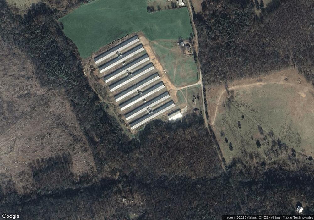
515 Garrett Randall Rd Danielsville, GA 30633
Estimated Value: $271,000 - $4,863,877
3
Beds
1
Bath
864
Sq Ft
$2,567/Sq Ft
Est. Value
About This Home
This home is located at 515 Garrett Randall Rd, Danielsville, GA 30633 and is currently estimated at $2,217,959, approximately $2,567 per square foot. 515 Garrett Randall Rd is a home located in Madison County with nearby schools including Madison County High School.
Ownership History
Date
Name
Owned For
Owner Type
Purchase Details
Closed on
May 20, 2019
Sold by
Goshen Farm Llc
Bought by
Truong Brothers Farm Llc
Current Estimated Value
Purchase Details
Closed on
Mar 27, 2017
Sold by
Vanvanle Binh Van
Bought by
Goshen Farm Llc
Purchase Details
Closed on
Jan 10, 2007
Sold by
Hall Guerry B
Bought by
Vanvanle Binh Van and Kien Suong Hong
Purchase Details
Closed on
Jul 28, 2006
Sold by
Scott Charles Roy
Bought by
Hall Guerry B and Hall Angie
Purchase Details
Closed on
Jan 1, 1949
Bought by
Randall Janie Lee
Create a Home Valuation Report for This Property
The Home Valuation Report is an in-depth analysis detailing your home's value as well as a comparison with similar homes in the area
Home Values in the Area
Average Home Value in this Area
Purchase History
| Date | Buyer | Sale Price | Title Company |
|---|---|---|---|
| Truong Brothers Farm Llc | $2,790,000 | -- | |
| Goshen Farm Llc | $2,400,000 | -- | |
| Vanvanle Binh Van | $528,000 | -- | |
| Hall Guerry B | $432,230 | -- | |
| Randall Janie Lee | -- | -- |
Source: Public Records
Tax History Compared to Growth
Tax History
| Year | Tax Paid | Tax Assessment Tax Assessment Total Assessment is a certain percentage of the fair market value that is determined by local assessors to be the total taxable value of land and additions on the property. | Land | Improvement |
|---|---|---|---|---|
| 2024 | $9,131 | $486,474 | $173,494 | $312,980 |
| 2023 | $14,789 | $484,445 | $173,494 | $310,951 |
| 2022 | $9,370 | $435,544 | $128,013 | $307,531 |
| 2021 | $10,138 | $400,387 | $98,740 | $301,647 |
| 2020 | $10,177 | $393,044 | $91,397 | $301,647 |
| 2019 | $9,859 | $347,719 | $91,397 | $256,322 |
| 2018 | $10,165 | $389,035 | $91,397 | $297,638 |
| 2017 | $11,168 | $387,864 | $90,501 | $297,363 |
| 2016 | $7,840 | $342,966 | $90,501 | $252,464 |
Source: Public Records
Map
Nearby Homes
- 0 Hwy 29 N Unit 10574548
- 0 Hwy 29 N Unit CL335575
- 1885 Highway 29 N
- 0 Georgia 191
- 0 Hwy 191 Unit CL339505
- 107 Hill Lake Rd
- 0 Cedar Ln Unit 1026097
- 0 Cedar Ln Unit 10530523
- 0 Irvin Kirk Rd
- 255 Hillwood Dr Unit 1
- 430 Sherwood Cir
- 105 Georgia 98
- 28 Acres Irvin Kirk Rd
- 00 Highway 29 Unit A
- 170 Northridge Dr
- 150 Northridge Dr Unit 3
- 150 Northridge Dr
- 140 Northridge Dr
- 140 Northridge Dr Unit 6
- 112 Northridge Dr Unit 8
- 11017 Wildcat Bridge Rd
- 143 Freeman Fowler Ln
- 11039 Wildcat Bridge Rd
- 143 Fowler-Freeman Rd
- 11100 Wildcat Bridge Rd
- 144 Fowler-Freeman Rd
- 122 Fowler Freeman Ln
- 18.49 AC Fowler Freeman Ln
- 4542 Fowler Freeman Ln
- 144 Fowler Freeman Ln
- 10627 Wildcat Bridge Rd
- 122 Freeman Fowler Ln
- 893 Freeman Fowler Rd
- 10792 Wildcat Bridge Rd
- 10792 Wildcat Bridge Rd
- 143 Fowler Forman Ln
- 11190 Wildcat Bridge Rd
- 747 Fowler-Freeman Rd
- 695 Fowler-Freeman Rd
- 2394 Fowler-Freeman Rd