515 James St Newport, AR 72112
Estimated Value: $120,000 - $126,000
--
Bed
1
Bath
760
Sq Ft
$162/Sq Ft
Est. Value
About This Home
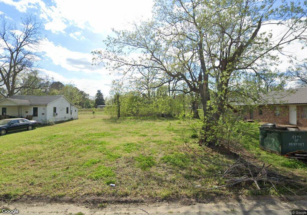
This home is located at 515 James St, Newport, AR 72112 and is currently estimated at $123,000, approximately $161 per square foot. 515 James St is a home located in Jackson County with nearby schools including Newport Elementary School and Newport High School.
Ownership History
Date
Name
Owned For
Owner Type
Purchase Details
Closed on
Nov 20, 2020
Sold by
Snow Margaret
Bought by
Neal Dennis
Current Estimated Value
Purchase Details
Closed on
Oct 30, 2014
Sold by
Bryan Bryan
Bought by
Snow Margaret
Purchase Details
Closed on
Jun 18, 2010
Bought by
Stump Bryan
Purchase Details
Closed on
Dec 1, 1993
Bought by
Snow Roger and Snow Margaret
Purchase Details
Closed on
Apr 1, 1993
Bought by
Honey Talmadge and Honey Mable
Create a Home Valuation Report for This Property
The Home Valuation Report is an in-depth analysis detailing your home's value as well as a comparison with similar homes in the area
Home Values in the Area
Average Home Value in this Area
Purchase History
| Date | Buyer | Sale Price | Title Company |
|---|---|---|---|
| Neal Dennis | $5,000 | Professional Land Ttl Co Of | |
| Snow Margaret | -- | -- | |
| Stump Bryan | $30,000 | -- | |
| Snow Roger | $8,000 | -- | |
| Honey Talmadge | $4,000 | -- |
Source: Public Records
Tax History Compared to Growth
Tax History
| Year | Tax Paid | Tax Assessment Tax Assessment Total Assessment is a certain percentage of the fair market value that is determined by local assessors to be the total taxable value of land and additions on the property. | Land | Improvement |
|---|---|---|---|---|
| 2024 | $104 | $2,000 | $2,000 | $0 |
| 2023 | $150 | $2,890 | $1,200 | $1,690 |
| 2022 | $158 | $2,890 | $1,200 | $1,690 |
| 2021 | $155 | $2,890 | $1,200 | $1,690 |
| 2020 | $155 | $2,890 | $1,200 | $1,690 |
| 2019 | $155 | $2,890 | $1,200 | $1,690 |
| 2018 | $146 | $2,870 | $1,000 | $1,870 |
| 2017 | $146 | $2,870 | $1,000 | $1,870 |
| 2015 | -- | $2,870 | $1,000 | $1,870 |
| 2014 | -- | $2,870 | $1,000 | $1,870 |
| 2013 | -- | $3,220 | $1,000 | $2,220 |
| 2012 | -- | $3,220 | $1,000 | $2,220 |
Source: Public Records
Map
Nearby Homes
- 2708 Robinson St
- 2600 Hollywood St
- 1217 Cherokee Dr
- 1212 Graceland Dr
- 1714 Dill St
- 1900 Hines St
- 2208 John Cir
- 203 Alice Ct
- 504 S State St
- 1311 Dill St
- 0 Robinson Rd
- 1105 Josephine St
- 0 Holmes St Unit 25033630
- 0 Holmes St Unit 25-486
- 900 Josephine St
- 2412 Linwood St
- 910 & 914 Dill St
- 4 Virginia Rd
- 721 Mclain St
- 2001 S Main St