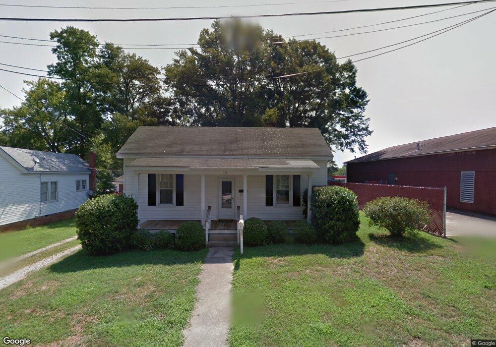
515 Martin Cir Kannapolis, NC 28081
Estimated Value: $163,000 - $223,228
1
Bed
1
Bath
1,268
Sq Ft
$146/Sq Ft
Est. Value
About This Home
This home is located at 515 Martin Cir, Kannapolis, NC 28081 and is currently estimated at $185,307, approximately $146 per square foot. 515 Martin Cir is a home located in Cabarrus County with nearby schools including Fred L. Wilson Elementary School, Kannapolis Middle, and A.L. Brown High School.
Ownership History
Date
Name
Owned For
Owner Type
Purchase Details
Closed on
Dec 1, 2019
Sold by
Atlantic American Properties Inc
Bought by
Berns Nichol Lorraine
Current Estimated Value
Home Financials for this Owner
Home Financials are based on the most recent Mortgage that was taken out on this home.
Original Mortgage
$90,919
Outstanding Balance
$81,511
Interest Rate
4.5%
Mortgage Type
FHA
Estimated Equity
$103,796
Create a Home Valuation Report for This Property
The Home Valuation Report is an in-depth analysis detailing your home's value as well as a comparison with similar homes in the area
Home Values in the Area
Average Home Value in this Area
Purchase History
| Date | Buyer | Sale Price | Title Company |
|---|---|---|---|
| Berns Nichol Lorraine | $93,000 | None Available |
Source: Public Records
Mortgage History
| Date | Status | Borrower | Loan Amount |
|---|---|---|---|
| Open | Berns Nichol Lorraine | $90,919 |
Source: Public Records
Tax History Compared to Growth
Tax History
| Year | Tax Paid | Tax Assessment Tax Assessment Total Assessment is a certain percentage of the fair market value that is determined by local assessors to be the total taxable value of land and additions on the property. | Land | Improvement |
|---|---|---|---|---|
| 2025 | $2,131 | $187,640 | $85,000 | $102,640 |
| 2024 | $2,131 | $187,640 | $85,000 | $102,640 |
| 2023 | $1,378 | $100,550 | $78,410 | $22,140 |
| 2022 | $1,378 | $100,550 | $78,410 | $22,140 |
| 2021 | $1,378 | $100,550 | $78,410 | $22,140 |
| 2020 | $1,378 | $100,550 | $78,410 | $22,140 |
| 2019 | $1,113 | $81,220 | $39,420 | $41,800 |
| 2018 | $1,096 | $81,220 | $39,420 | $41,800 |
| 2017 | $1,080 | $81,220 | $39,420 | $41,800 |
| 2016 | -- | $90,890 | $47,990 | $42,900 |
| 2015 | $1,145 | $90,890 | $47,990 | $42,900 |
| 2014 | $1,145 | $90,890 | $47,990 | $42,900 |
Source: Public Records
Map
Nearby Homes
- 00 Centergrove Rd
- 304 Bell St
- 5941 Mantle Way
- 500 Broad St
- 5880 Mantle Way
- 3131 Baines Ct
- 3161 Baines Ct
- 417 York Ave
- 5860 Pittmon Ln
- 5840 Pittmon Ln
- 5850 Pittmon Ln
- 226 York Ave
- 5820 Pittmon Ln
- 335 Vance St
- 803 Desoto Ave
- 202 Milton L Taylor St
- 427 Pleasant Ave
- 828 Richard Ave
- 807 Klondale Ave
- 402 Ford St
- 513 Martin Cir
- 508 S Main St
- 512 Martin Cir
- 506 S Main St
- 514 Martin Cir
- 511 Martin Cir
- 510 Martin Cir
- 504 S Main St
- 508 Martin Cir
- 825 Dale Earnhardt Blvd
- 509 Martin Cir
- 502 S Main St
- 813 Dale Earnhardt Blvd
- 0 Centergrove Rd
- 507 Martin Cir
- 103 W G St
- 500 S Main St
- 506 Martin Cir
- 000 Dale Earnhardt Blvd
- 771 Dale Earnhardt Blvd