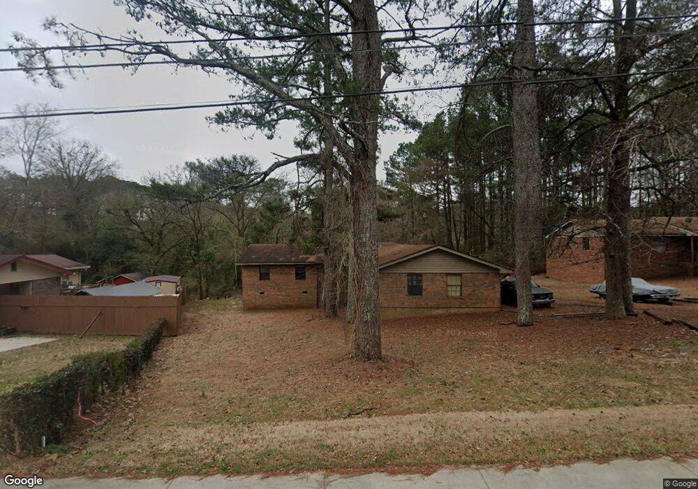
515 Moore St Oxford, GA 30054
Estimated Value: $212,117 - $382,000
--
Bed
3
Baths
1,922
Sq Ft
$146/Sq Ft
Est. Value
About This Home
This home is located at 515 Moore St, Oxford, GA 30054 and is currently estimated at $281,279, approximately $146 per square foot. 515 Moore St is a home located in Newton County with nearby schools including Flint Hill Elementary School, Cousins Middle School, and Newton High School.
Ownership History
Date
Name
Owned For
Owner Type
Purchase Details
Closed on
Aug 9, 2018
Sold by
Ramsey Samuel David
Bought by
Maestone Properties Of Georgia Inc
Current Estimated Value
Home Financials for this Owner
Home Financials are based on the most recent Mortgage that was taken out on this home.
Original Mortgage
$320,000
Interest Rate
4.5%
Mortgage Type
New Conventional
Create a Home Valuation Report for This Property
The Home Valuation Report is an in-depth analysis detailing your home's value as well as a comparison with similar homes in the area
Home Values in the Area
Average Home Value in this Area
Purchase History
| Date | Buyer | Sale Price | Title Company |
|---|---|---|---|
| Maestone Properties Of Georgia Inc | $320,000 | -- |
Source: Public Records
Mortgage History
| Date | Status | Borrower | Loan Amount |
|---|---|---|---|
| Closed | Maestone Properties Of Georgia Inc | $320,000 |
Source: Public Records
Tax History Compared to Growth
Tax History
| Year | Tax Paid | Tax Assessment Tax Assessment Total Assessment is a certain percentage of the fair market value that is determined by local assessors to be the total taxable value of land and additions on the property. | Land | Improvement |
|---|---|---|---|---|
| 2024 | $1,549 | $61,160 | $16,800 | $44,360 |
| 2023 | $1,450 | $53,440 | $6,400 | $47,040 |
| 2022 | $1,187 | $43,760 | $6,400 | $37,360 |
| 2021 | $1,362 | $44,920 | $6,400 | $38,520 |
| 2020 | $1,269 | $37,760 | $6,400 | $31,360 |
| 2019 | $1,096 | $32,120 | $6,400 | $25,720 |
| 2018 | $533 | $31,040 | $6,400 | $24,640 |
| 2017 | $614 | $17,880 | $3,600 | $14,280 |
| 2016 | $614 | $17,880 | $3,600 | $14,280 |
| 2015 | $640 | $18,640 | $3,600 | $15,040 |
| 2014 | $609 | $17,800 | $0 | $0 |
Source: Public Records
Map
Nearby Homes
- 525 Moore St
- 501 Moore St
- 538 Moore St
- 0 Moore St Unit 20012118
- 502 Moore St
- 481 Moore St
- 10176 Stone St NW Unit B
- 10176 Stone St NW Unit A
- 10176 Stone St NW
- 504 Moore St
- 10156 Stone St NW
- 10186 Stone St NW
- 110 Longstreet Cir
- 506 Moore St
- 108 Longstreet Cir
- 0 Stone St NW Unit 7354882
- 0 Stone St NW Unit 8818806
- 0 Stone St NW Unit 7061901
- 0 Stone St NW Unit 8799417
- 0 Stone St NW Unit 8767791