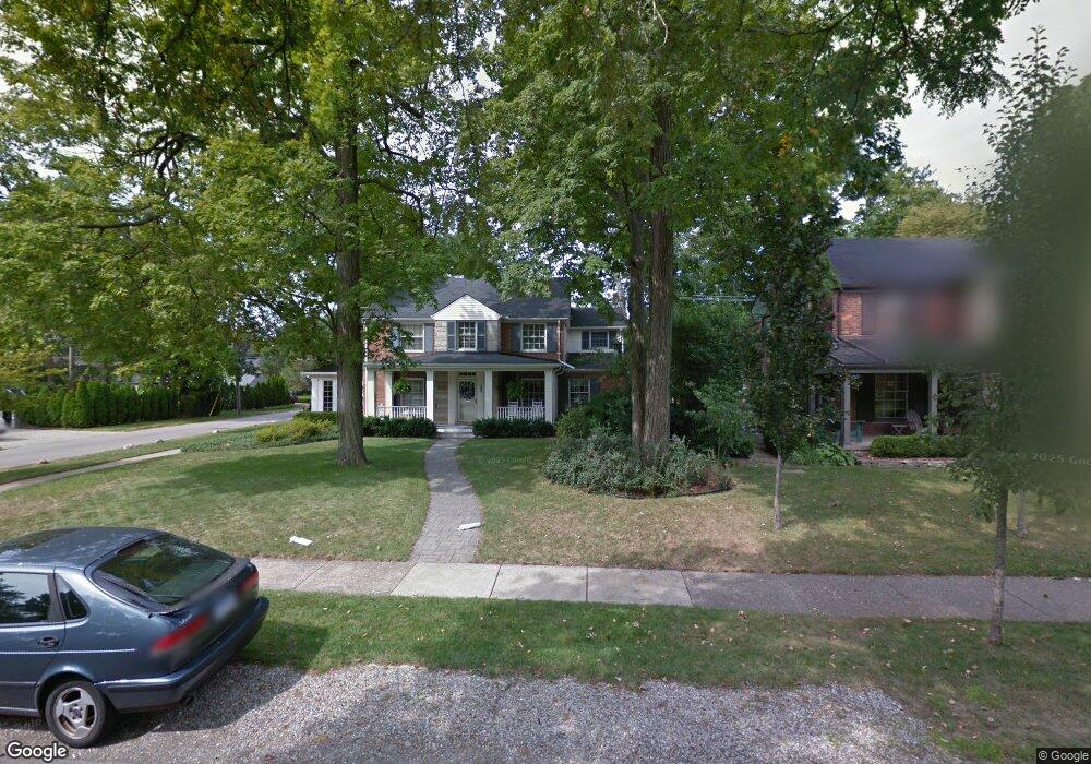
515 N Glenhurst Dr Unit Bldg-Unit Birmingham, MI 48009
Estimated Value: $1,023,000 - $1,632,000
5
Beds
4
Baths
3,550
Sq Ft
$372/Sq Ft
Est. Value
About This Home
This home is located at 515 N Glenhurst Dr Unit Bldg-Unit, Birmingham, MI 48009 and is currently estimated at $1,319,509, approximately $371 per square foot. 515 N Glenhurst Dr Unit Bldg-Unit is a home located in Oakland County with nearby schools including Quarton Elementary, Derby Middle School, and Ernest W. Seaholm High School.
Ownership History
Date
Name
Owned For
Owner Type
Purchase Details
Closed on
Jun 27, 2019
Sold by
Paruch Dennis J and Paruch Deborah P
Bought by
Liioi Ward Timothy R and Liioi Ward Mary
Current Estimated Value
Create a Home Valuation Report for This Property
The Home Valuation Report is an in-depth analysis detailing your home's value as well as a comparison with similar homes in the area
Home Values in the Area
Average Home Value in this Area
Purchase History
| Date | Buyer | Sale Price | Title Company |
|---|---|---|---|
| Liioi Ward Timothy R | $648,500 | Title One Inc |
Source: Public Records
Tax History Compared to Growth
Tax History
| Year | Tax Paid | Tax Assessment Tax Assessment Total Assessment is a certain percentage of the fair market value that is determined by local assessors to be the total taxable value of land and additions on the property. | Land | Improvement |
|---|---|---|---|---|
| 2024 | $13,240 | $388,720 | $0 | $0 |
| 2023 | $13,264 | $398,280 | $0 | $0 |
| 2022 | $14,221 | $377,170 | $0 | $0 |
| 2021 | $14,347 | $371,690 | $0 | $0 |
| 2020 | $12,671 | $348,830 | $0 | $0 |
| 2019 | $8,499 | $372,200 | $0 | $0 |
| 2018 | $8,434 | $347,240 | $0 | $0 |
| 2017 | $8,420 | $348,200 | $0 | $0 |
| 2016 | $8,436 | $349,660 | $0 | $0 |
| 2015 | -- | $335,980 | $0 | $0 |
| 2014 | -- | $294,070 | $0 | $0 |
| 2011 | -- | $176,690 | $0 | $0 |
Source: Public Records
Map
Nearby Homes
- 345 Kimberly St
- 1882 Melbourne St
- 1834 Fairview St
- 586 Fairfax St
- 120 Westchester Way
- 956 Westwood Dr
- 1019 N Cranbrook Rd
- 1120 Lyonhurst St
- 2579 Amberly Rd
- 394 S Glenhurst Dr
- 222 Arlington St
- 1260 Lyonhurst St
- 1056 Pilgrim Ave
- 520 Pleasant St
- 397 S Cranbrook Rd
- 695 Westchester Way
- 592 Lakeside Dr
- 329 Linden Rd
- 421 S Williamsbury Rd
- 417 Baldwin Rd
- 515 N Glenhurst Dr
- 535 N Glenhurst Dr
- 528 Westwood Dr
- 485 N Glenhurst Dr
- 559 N Glenhurst Dr
- 482 Westwood Dr
- 540 Westwood Dr
- 520 N Glenhurst Dr
- 587 N Glenhurst Dr
- 534 N Glenhurst Dr
- 480 N Glenhurst Dr
- 441 N Glenhurst Dr
- 550 N Glenhurst Dr
- 550 N Glenhurst Dr
- 586 Westwood Dr
- 450 Westwood Dr Unit Bldg-Unit
- 450 Westwood Dr
- 617 N Glenhurst Dr
- 584 N Glenhurst Dr
- 515 Westwood Dr