515 Neely Rd Sharpsburg, GA 30277
Estimated Value: $336,000 - $512,000
3
Beds
2
Baths
1,184
Sq Ft
$361/Sq Ft
Est. Value
About This Home
This home is located at 515 Neely Rd, Sharpsburg, GA 30277 and is currently estimated at $427,383, approximately $360 per square foot. 515 Neely Rd is a home located in Coweta County with nearby schools including Poplar Road Elementary School, East Coweta Middle School, and East Coweta High School.
Ownership History
Date
Name
Owned For
Owner Type
Purchase Details
Closed on
Jun 3, 1994
Sold by
Wallace
Bought by
Wallace Steve
Current Estimated Value
Home Financials for this Owner
Home Financials are based on the most recent Mortgage that was taken out on this home.
Original Mortgage
$90,000
Interest Rate
8.27%
Mortgage Type
Purchase Money Mortgage
Purchase Details
Closed on
Feb 12, 1992
Bought by
Wallace J R
Purchase Details
Closed on
Nov 30, 1972
Bought by
Wallace Thelma and J R
Create a Home Valuation Report for This Property
The Home Valuation Report is an in-depth analysis detailing your home's value as well as a comparison with similar homes in the area
Home Values in the Area
Average Home Value in this Area
Purchase History
| Date | Buyer | Sale Price | Title Company |
|---|---|---|---|
| Wallace Steve | $112,500 | -- | |
| Wallace J R | -- | -- | |
| Wallace Thelma | -- | -- |
Source: Public Records
Mortgage History
| Date | Status | Borrower | Loan Amount |
|---|---|---|---|
| Closed | Wallace Steve | $90,000 |
Source: Public Records
Tax History Compared to Growth
Tax History
| Year | Tax Paid | Tax Assessment Tax Assessment Total Assessment is a certain percentage of the fair market value that is determined by local assessors to be the total taxable value of land and additions on the property. | Land | Improvement |
|---|---|---|---|---|
| 2024 | $485 | $126,956 | $77,004 | $49,952 |
| 2023 | $485 | $98,847 | $50,851 | $47,996 |
| 2022 | $376 | $88,629 | $46,228 | $42,401 |
| 2021 | $1,165 | $82,524 | $44,027 | $38,497 |
| 2020 | $1,167 | $82,524 | $44,027 | $38,497 |
| 2019 | $1,004 | $33,114 | $4,493 | $28,621 |
| 2018 | $876 | $77,170 | $48,549 | $28,621 |
| 2017 | $871 | $77,170 | $48,549 | $28,621 |
| 2016 | $857 | $77,170 | $48,549 | $28,621 |
| 2015 | $841 | $77,170 | $48,549 | $28,621 |
| 2014 | $828 | $77,170 | $48,549 | $28,621 |
Source: Public Records
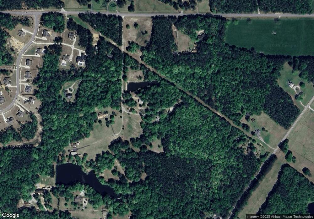
Map
Nearby Homes
- 49 Durham Estates Dr
- 20 Water Oak Dr
- 135 Graceton Farms Dr
- 376 Linch Rd
- 244 Turin Rd
- 223 Wills Run Dr
- 771 Ragsdale Rd
- 3775 Highway 16 E
- 138 Main St
- 37 Wills Run Dr Unit 3
- 69 Oakhurst Trail
- 65 Oakhurst Trail
- 320 Old Highway 16
- 999 Linch Rd
- LOT 2 Mcintosh Trail Unit 2
- 0 Johnson Rd Unit LOT 4 10583889
- 0 Johnson Rd Unit LOT 3 10583885
- 32 Wrightsburg Trail
- 60 Doe Run Dr
- 86 Sunset Ct
- 501 Neely Rd
- 599 Neely Rd
- 599 Neely Rd
- 499 Neely Rd
- 5586 Highway 54
- 497 Neely Rd
- 481 Neely Rd
- 5562 Highway 54
- 34 Durham Estates Dr
- 5492 Highway 54
- 133 Ragsdale Rd
- 32 Durham Estates Dr Unit LOT 2
- 5476 Georgia 54
- 75 Ragsdale Rd
- 82 Durham Estates Dr
- 5476 Highway 54
- 76 Durham Estates Dr Unit 7
- 55 Ragsdale Rd
- 48 Durham Estates Dr
- 26 Durham Estates Dr Unit 17