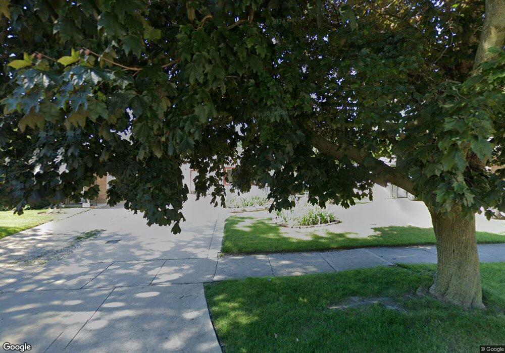
515 W Keith Ave Waukegan, IL 60085
Marquette Highlands NeighborhoodEstimated Value: $219,091 - $258,000
2
Beds
1
Bath
1,368
Sq Ft
$178/Sq Ft
Est. Value
About This Home
This home is located at 515 W Keith Ave, Waukegan, IL 60085 and is currently estimated at $243,773, approximately $178 per square foot. 515 W Keith Ave is a home located in Lake County with nearby schools including Greenwood Elementary School, Edith M Smith Middle School, and Waukegan High School.
Create a Home Valuation Report for This Property
The Home Valuation Report is an in-depth analysis detailing your home's value as well as a comparison with similar homes in the area
Home Values in the Area
Average Home Value in this Area
Tax History Compared to Growth
Tax History
| Year | Tax Paid | Tax Assessment Tax Assessment Total Assessment is a certain percentage of the fair market value that is determined by local assessors to be the total taxable value of land and additions on the property. | Land | Improvement |
|---|---|---|---|---|
| 2024 | $3,345 | $54,547 | $9,223 | $45,324 |
| 2023 | $3,545 | $49,194 | $8,318 | $40,876 |
| 2022 | $3,545 | $47,260 | $6,922 | $40,338 |
| 2021 | $2,915 | $38,962 | $6,175 | $32,787 |
| 2020 | $1,975 | $36,298 | $5,753 | $30,545 |
| 2019 | $2,141 | $33,262 | $5,272 | $27,990 |
| 2018 | $3,329 | $32,131 | $7,461 | $24,670 |
| 2017 | $3,190 | $28,427 | $6,601 | $21,826 |
| 2016 | $2,890 | $24,702 | $5,736 | $18,966 |
| 2015 | $2,721 | $22,109 | $5,134 | $16,975 |
| 2014 | $2,889 | $22,615 | $5,827 | $16,788 |
| 2012 | $3,801 | $24,501 | $6,313 | $18,188 |
Source: Public Records
Map
Nearby Homes
- 616 W Keith Ave
- 1336 N Ash St
- 1335 Chestnut St
- 1018 W Atlantic Ave
- 1905 Linden Ave
- 1110 N Ash St
- 1312 N Linden Ave
- 1105 Woodlawn Cir
- 415 W Ridgeland Ave
- 918 N Ash St
- 1504 W Glen Flora Ave
- 917 N Linden Ave
- 1000 Pine St
- 2232 Walnut St
- 1109 Massena Ave
- 1117 Judge Ave
- 723 N County St
- 2213 Alta Vista Dr
- 2246 Alta Vista Dr
- 325 4th St
- 511 W Keith Ave
- 525 W Keith Ave
- 1615 Hickory St
- 507 W Keith Ave
- 516 W Atlantic Ave
- 512 W Atlantic Ave
- 1614 North Ave
- 526 W Atlantic Ave
- 1610 North Ave
- 1624 North Ave
- 516 W Keith Ave
- 520 W Keith Ave
- 512 W Keith Ave
- 504 W Keith Ave
- 526 W Keith Ave
- 1626 Hickory St
- 500 W Atlantic Ave
- 602 W Atlantic Ave
- 607 W Keith Ave
