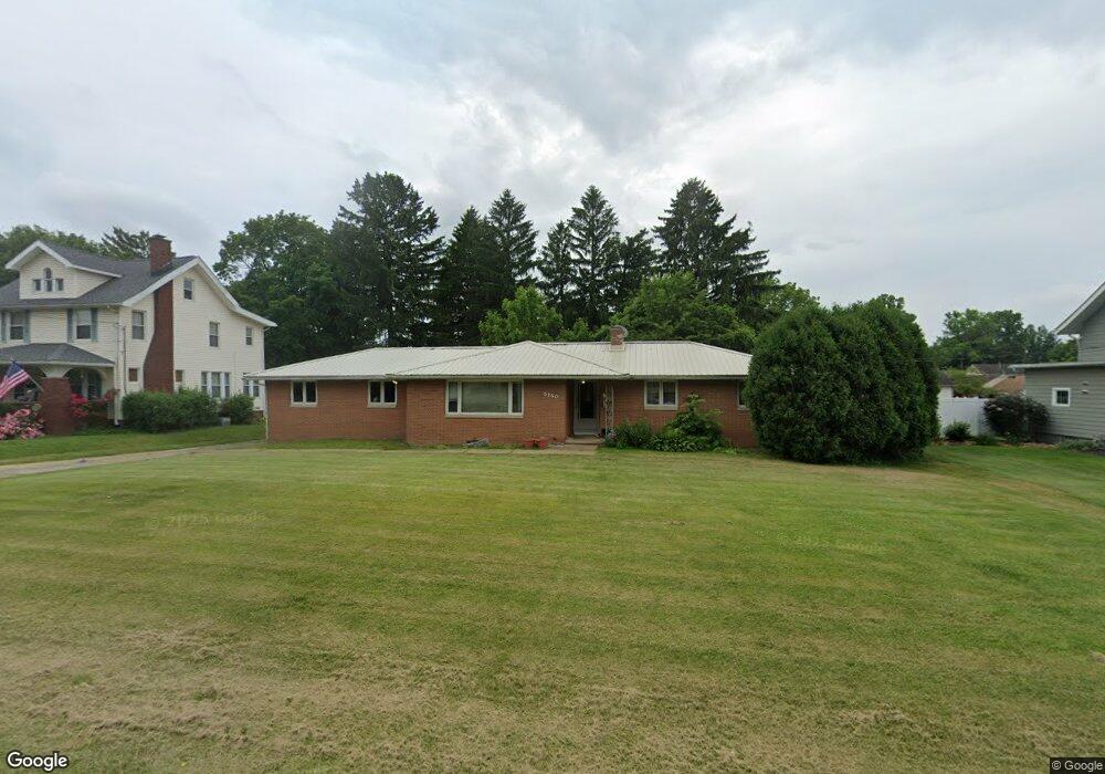
5150 12th St SW Canton, OH 44710
Estimated Value: $183,000 - $230,000
3
Beds
3
Baths
1,410
Sq Ft
$147/Sq Ft
Est. Value
About This Home
This home is located at 5150 12th St SW, Canton, OH 44710 and is currently estimated at $206,624, approximately $146 per square foot. 5150 12th St SW is a home located in Stark County with nearby schools including Pfeiffer Intermediate School, Edison Middle School, and Perry High School.
Ownership History
Date
Name
Owned For
Owner Type
Purchase Details
Closed on
Dec 20, 2022
Sold by
Wade Cynthia J
Bought by
Tax Ease Oh Iv Llc
Current Estimated Value
Purchase Details
Closed on
Dec 15, 2010
Sold by
U S Bank National Association
Bought by
Wade Cynthia J
Purchase Details
Closed on
Apr 20, 2010
Sold by
Fuchs Thomas E
Bought by
Us Bank National Association
Create a Home Valuation Report for This Property
The Home Valuation Report is an in-depth analysis detailing your home's value as well as a comparison with similar homes in the area
Home Values in the Area
Average Home Value in this Area
Purchase History
| Date | Buyer | Sale Price | Title Company |
|---|---|---|---|
| Tax Ease Oh Iv Llc | $3,716 | -- | |
| Wade Cynthia J | $77,000 | None Available | |
| Us Bank National Association | $90,000 | None Available |
Source: Public Records
Tax History Compared to Growth
Tax History
| Year | Tax Paid | Tax Assessment Tax Assessment Total Assessment is a certain percentage of the fair market value that is determined by local assessors to be the total taxable value of land and additions on the property. | Land | Improvement |
|---|---|---|---|---|
| 2025 | $7,488 | $61,470 | $20,340 | $41,130 |
| 2024 | $3,462 | $61,470 | $20,340 | $41,130 |
| 2023 | $6,759 | $49,040 | $13,830 | $35,210 |
| 2022 | $2,916 | $49,040 | $13,830 | $35,210 |
| 2021 | $3,071 | $49,040 | $13,830 | $35,210 |
| 2020 | $2,755 | $41,480 | $11,620 | $29,860 |
| 2019 | $2,884 | $41,480 | $11,620 | $29,860 |
| 2018 | $2,510 | $41,480 | $11,620 | $29,860 |
| 2017 | $2,499 | $38,230 | $9,630 | $28,600 |
| 2016 | $11,281 | $38,230 | $9,630 | $28,600 |
| 2015 | $2,637 | $38,230 | $9,630 | $28,600 |
| 2014 | $743 | $37,320 | $9,380 | $27,940 |
| 2013 | $1,297 | $37,320 | $9,380 | $27,940 |
Source: Public Records
Map
Nearby Homes
- 1205 Sippo Ave SW
- 1209 Brooklyn Ave SW
- 134 Shore Line Ave NW
- 212 Westland Ave SW
- 122 Westland Ave SW
- 200 Stewart Ave NW
- 4955 Aurora St NW
- 326 Locke Ave NW
- 320 Fairlawn Ave SW
- 334 Locke Ave NW
- 149 Marsden Ave SW
- 5040 2nd St NW
- 703 Western Ave SW
- 4735 7th St SW
- 337 Harding Ave NW
- 138 Wrexham Ave SW
- 109 Miles Ave NW
- 1103 Manor Ave SW
- 3626 Hazelbrook St SW
- 1150 Manor Ave SW
- 5140 12th St SW
- 5158 12th St SW
- 5136 12th St SW
- 5151 12th St SW
- 5141 12th St SW
- 132 Sippo Ave SW
- 5126 12th St SW
- 1201 Sippo Ave SW
- 1230 Sippo Ave SW
- 5135 12th St SW
- 122 Sippo Ave SW
- 5120 12th St SW
- 1209 Sippo Ave SW
- 5142 Tuscarawas St W
- 1231 Sippo Ave SW
- 5147 13th St SW
- 5214 12th St SW
- 1237 Sippo Ave SW Unit sippo
- 1221 Perry Dr SW
- 1235 Sippo Ave SW