51501 S 36300 Rd Cleveland, OK 74020
Estimated Value: $187,000 - $451,782
2
Beds
1
Bath
1,728
Sq Ft
$181/Sq Ft
Est. Value
About This Home
This home is located at 51501 S 36300 Rd, Cleveland, OK 74020 and is currently estimated at $312,261, approximately $180 per square foot. 51501 S 36300 Rd is a home located in Pawnee County with nearby schools including Cleveland Primary Elementary School, Cleveland Intermediate Elementary School, and Cleveland Middle School.
Ownership History
Date
Name
Owned For
Owner Type
Purchase Details
Closed on
Feb 4, 2008
Sold by
Braun Scott G and Braun Tammy T
Bought by
Casselman Jerry and Casselman B
Current Estimated Value
Purchase Details
Closed on
Jun 22, 2000
Sold by
Hill Sam and Hill Linda
Bought by
Braun Scott G and Braun Tammy T
Purchase Details
Closed on
May 2, 1997
Sold by
Gantz Sylvia L
Bought by
Bowker Harry H and Bowker Velma I
Create a Home Valuation Report for This Property
The Home Valuation Report is an in-depth analysis detailing your home's value as well as a comparison with similar homes in the area
Home Values in the Area
Average Home Value in this Area
Purchase History
| Date | Buyer | Sale Price | Title Company |
|---|---|---|---|
| Casselman Jerry | $242,000 | -- | |
| Braun Scott G | $100,000 | -- | |
| Bowker Harry H | $24,000 | -- |
Source: Public Records
Tax History Compared to Growth
Tax History
| Year | Tax Paid | Tax Assessment Tax Assessment Total Assessment is a certain percentage of the fair market value that is determined by local assessors to be the total taxable value of land and additions on the property. | Land | Improvement |
|---|---|---|---|---|
| 2025 | $1,841 | $21,454 | $1,488 | $19,966 |
| 2024 | $1,841 | $20,829 | $1,488 | $19,341 |
| 2023 | $1,841 | $20,222 | $1,488 | $18,734 |
| 2022 | $1,771 | $20,003 | $1,488 | $18,515 |
| 2021 | $1,728 | $20,003 | $1,488 | $18,515 |
| 2020 | $1,720 | $19,420 | $1,488 | $17,932 |
| 2019 | $1,646 | $18,306 | $1,488 | $16,818 |
| 2018 | $1,633 | $17,773 | $1,488 | $16,285 |
| 2017 | $1,581 | $17,255 | $1,488 | $15,767 |
| 2016 | $1,539 | $16,753 | $1,488 | $15,265 |
| 2015 | $1,436 | $16,265 | $1,488 | $14,777 |
| 2014 | $1,418 | $15,790 | $1,488 | $14,302 |
Source: Public Records
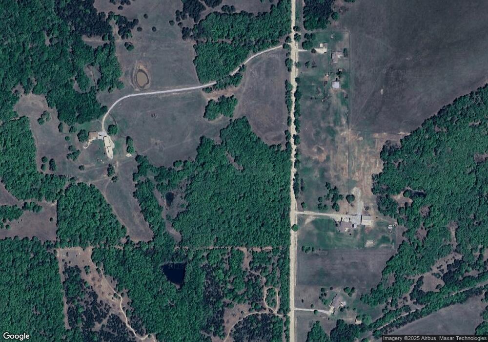
Map
Nearby Homes
- 50801 S 36300 Rd
- 361952 E 5300 Rd
- 51022 S 36500 Rd
- 51110 S 36500 Rd
- 51020 S 36500 Rd
- 0004 E 5400 Rd
- 0003 E 5400 Rd
- 0005 E 5400 Rd
- 525 S 3rd
- E0490 Road
- 365085 E 4980 Rd
- 0 E 0490 Rd Unit 1194540
- 0 E 0490 Rd Unit 132949
- 365105 E 5400 Rd
- 0 S Hwy 99 Rd Unit 2520348
- 0 S Hwy 99 Rd Unit 2520340
- 51509 S 36700 Rd
- 205 Lester Ln
- 0 Airport Rd
- 413 W Pogue St
- 51125 S 36300 Rd
- 51013 S 36300 Rd
- 51710 S 36300 Rd
- 50959 S 36300 Rd
- 51830 S 36300 Rd
- 50909 S 36300 Rd
- 50910 S 36300 Rd
- 350815 S 36300 Rd
- 52060 S 36300 Rd
- 362615 E Old Highway 64
- 362661 E Old Highway 64
- 362661 E Old Highway 64
- 363397 E 5100 Rd
- 363326 E 5200 Rd
- 362445 E Old Highway 64
- 362686 E Highway 64
- 362686 E Highway 64
- 362660 E Highway 64
- 362721 E Old Highway 64
- 362801 E Old Highway 64