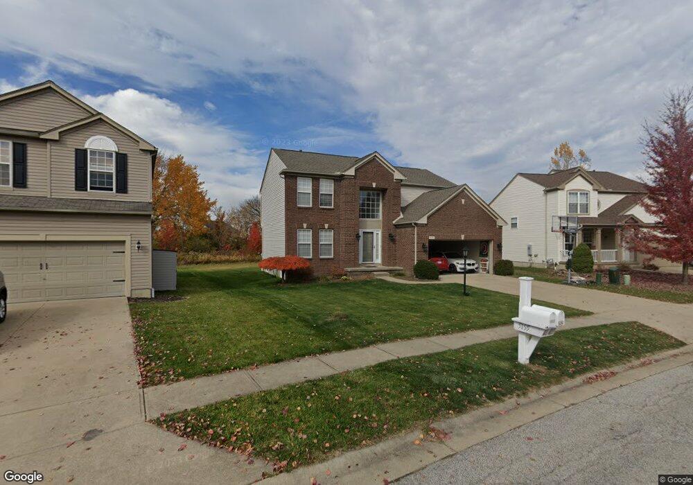
5151 Denton Cir Brunswick, OH 44212
Estimated Value: $370,000 - $407,000
4
Beds
3
Baths
2,005
Sq Ft
$192/Sq Ft
Est. Value
About This Home
This home is located at 5151 Denton Cir, Brunswick, OH 44212 and is currently estimated at $384,638, approximately $191 per square foot. 5151 Denton Cir is a home located in Medina County with nearby schools including Applewood Elementary School, Willets Middle School, and Brunswick High School.
Ownership History
Date
Name
Owned For
Owner Type
Purchase Details
Closed on
Mar 14, 2023
Sold by
Hasrouni George and Hasrouni Georgette M
Bought by
Hasrouni Georgino George
Current Estimated Value
Purchase Details
Closed on
May 24, 2004
Sold by
Pulte Homes Of Ohio Llc
Bought by
Hasrouni George and Hasrouni Georgette M
Home Financials for this Owner
Home Financials are based on the most recent Mortgage that was taken out on this home.
Original Mortgage
$195,670
Interest Rate
7%
Mortgage Type
Purchase Money Mortgage
Create a Home Valuation Report for This Property
The Home Valuation Report is an in-depth analysis detailing your home's value as well as a comparison with similar homes in the area
Home Values in the Area
Average Home Value in this Area
Purchase History
| Date | Buyer | Sale Price | Title Company |
|---|---|---|---|
| Hasrouni Georgino George | -- | None Listed On Document | |
| Hasrouni George | $230,833 | Pulte Title Agency Llc |
Source: Public Records
Mortgage History
| Date | Status | Borrower | Loan Amount |
|---|---|---|---|
| Previous Owner | Hasrouni George | $195,670 |
Source: Public Records
Tax History Compared to Growth
Tax History
| Year | Tax Paid | Tax Assessment Tax Assessment Total Assessment is a certain percentage of the fair market value that is determined by local assessors to be the total taxable value of land and additions on the property. | Land | Improvement |
|---|---|---|---|---|
| 2024 | $5,493 | $97,360 | $26,590 | $70,770 |
| 2023 | $5,493 | $97,360 | $26,590 | $70,770 |
| 2022 | $5,217 | $97,360 | $26,590 | $70,770 |
| 2021 | $4,527 | $74,330 | $20,300 | $54,030 |
| 2020 | $4,112 | $74,330 | $20,300 | $54,030 |
| 2019 | $4,171 | $74,330 | $20,300 | $54,030 |
| 2018 | $3,925 | $67,260 | $17,230 | $50,030 |
| 2017 | $3,930 | $67,260 | $17,230 | $50,030 |
| 2016 | $3,928 | $67,260 | $17,230 | $50,030 |
| 2015 | $3,660 | $62,860 | $16,100 | $46,760 |
| 2014 | $3,652 | $62,860 | $16,100 | $46,760 |
| 2013 | $3,659 | $62,860 | $16,100 | $46,760 |
Source: Public Records
Map
Nearby Homes
- 959 Overton Dr
- 5068 Walden Ln
- 878 Glenrock Dr
- 5046 Forestland Ct
- 0 Terrington Dr Unit 4467162
- 4928 Treeline Dr
- 5372 Millcreek Blvd
- 5236 Creekside Blvd Unit H31
- 5236 Creekside Blvd Unit J44
- 5101 Center Rd
- 4910 Fallen Leaf Trail
- 4913 Fallen Leaf Trail
- 1202 Substation Rd
- 5035 Center Rd
- 892 Crabapple Dr
- 841 Substation Rd
- 833 Substation Rd
- 5279 Creekside Blvd Unit T36
- 626 Juniper Ln
- 4949 Orchard Dr
- 5155 Denton Cir
- 5145 Denton Cir
- 5139 Denton Cir
- 5159 Denton Cir
- 5161 Bringham Dr
- 5133 Denton Cir
- 1010 Overton Dr
- 5167 Bringham Dr
- 1045 Slate Dr
- 5152 Bringham Dr
- 5146 Bringham Dr
- 1004 Overton Dr
- 1039 Slate Dr
- 5158 Bringham Dr
- 5173 Bringham Dr
- 5164 Bringham Dr
- 1042 Slate Dr
- 5125 Denton Cir
- 1055 Molland Dr
- 998 Overton Dr