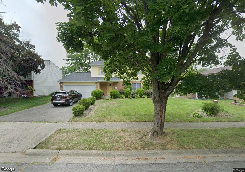
5151 Sassafras Rd Columbus, OH 43229
Forest Park East NeighborhoodEstimated Value: $323,322 - $349,000
4
Beds
3
Baths
1,948
Sq Ft
$172/Sq Ft
Est. Value
About This Home
This home is located at 5151 Sassafras Rd, Columbus, OH 43229 and is currently estimated at $335,081, approximately $172 per square foot. 5151 Sassafras Rd is a home located in Franklin County with nearby schools including Parkmoor Elementary School, Woodward Park Middle School, and Northland High School.
Ownership History
Date
Name
Owned For
Owner Type
Purchase Details
Closed on
Jul 24, 2024
Sold by
Omameh Patrick and Omameh Nwakaego
Bought by
Omameh Nwakaego
Current Estimated Value
Purchase Details
Closed on
Aug 1, 1996
Sold by
Harless R Mary W
Bought by
Omameh Patrick and Omameh Nwakaego
Home Financials for this Owner
Home Financials are based on the most recent Mortgage that was taken out on this home.
Original Mortgage
$108,300
Interest Rate
8.33%
Mortgage Type
New Conventional
Create a Home Valuation Report for This Property
The Home Valuation Report is an in-depth analysis detailing your home's value as well as a comparison with similar homes in the area
Home Values in the Area
Average Home Value in this Area
Purchase History
| Date | Buyer | Sale Price | Title Company |
|---|---|---|---|
| Omameh Nwakaego | -- | None Listed On Document | |
| Omameh Patrick | $114,000 | -- |
Source: Public Records
Mortgage History
| Date | Status | Borrower | Loan Amount |
|---|---|---|---|
| Previous Owner | Omameh Patrick | $108,300 |
Source: Public Records
Tax History
| Year | Tax Paid | Tax Assessment Tax Assessment Total Assessment is a certain percentage of the fair market value that is determined by local assessors to be the total taxable value of land and additions on the property. | Land | Improvement |
|---|---|---|---|---|
| 2025 | $4,111 | $91,600 | $21,420 | $70,180 |
| 2024 | $4,111 | $91,600 | $21,420 | $70,180 |
| 2023 | $4,058 | $91,595 | $21,420 | $70,175 |
| 2022 | $4,995 | $63,880 | $13,580 | $50,300 |
| 2021 | $3,319 | $63,880 | $13,580 | $50,300 |
| 2020 | $3,323 | $63,880 | $13,580 | $50,300 |
| 2019 | $2,829 | $46,630 | $10,050 | $36,580 |
| 2018 | $2,638 | $46,630 | $10,050 | $36,580 |
| 2017 | $2,827 | $46,630 | $10,050 | $36,580 |
| 2016 | $2,701 | $40,780 | $9,420 | $31,360 |
| 2015 | $2,452 | $40,780 | $9,420 | $31,360 |
| 2014 | $2,458 | $40,780 | $9,420 | $31,360 |
| 2013 | $1,369 | $44,765 | $9,905 | $34,860 |
Source: Public Records
Map
Nearby Homes
- 2117 Kilbourne Ave
- 1905 Denise Dr
- 2251 Minerva Ave
- 2251 Tuliptree Ave
- 2259 Tuliptree Ave
- 2208 Pine Knoll Ave
- 4885 Northtowne Blvd
- 5399 Teakwood Ct
- 5485 Tamarack Blvd
- 5396 Teakwood Ct
- 1638 Arrowood Loop N
- 1705 Ivyhill Loop S
- 5486 Pine Bluff Rd
- 5231 Arrowood Ct
- 4857 Tamarack Blvd
- 5458 Sumac Loop S
- 2294 Teakwood Dr
- 5008 Sienna Ln
- 4714 Ascot Dr
- 5570 Maple Canyon Ave
- 5139 Sassafras Rd
- 5159 Sassafras Rd
- 5131 Sassafras Rd
- 5158 Forestwood Rd
- 1961 Fleetwood Dr
- 5152 Sassafras Rd
- 5150 Forestwood Rd
- 5144 Sassafras Rd
- 5136 Sassafras Rd
- 5123 Sassafras Rd
- 5142 Forestwood Rd
- 5128 Sassafras Rd
- 2007 Fleetwood Dr
- 1978 Fleetwood Dr
- 1966 Fleetwood Dr
- 1986 Fleetwood Dr
- 1994 Fleetwood Dr
- 5134 Forestwood Rd
- 1960 Fleetwood Dr
- 5115 Sassafras Rd