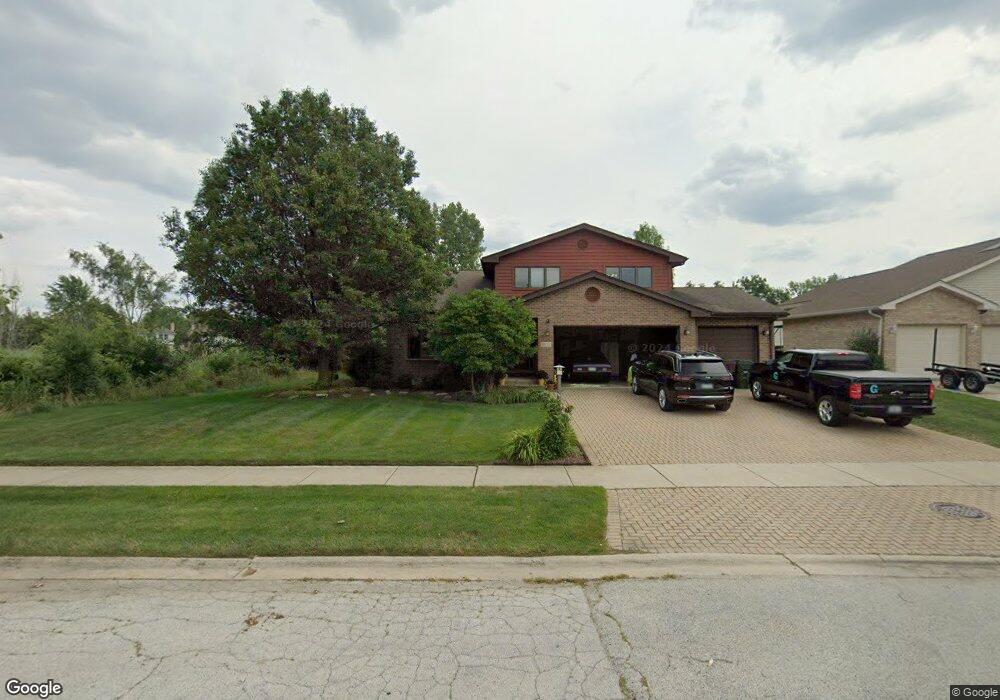
5153 Harcourt St Oak Forest, IL 60452
Estimated Value: $134,000 - $225,000
3
Beds
2
Baths
1,312
Sq Ft
$136/Sq Ft
Est. Value
About This Home
This home is located at 5153 Harcourt St, Oak Forest, IL 60452 and is currently estimated at $178,516, approximately $136 per square foot. 5153 Harcourt St is a home located in Cook County with nearby schools including Kimberly Heights Elementary School, Scarlet Oak Elementary School, and Arbor Park Middle School.
Ownership History
Date
Name
Owned For
Owner Type
Purchase Details
Closed on
Nov 30, 2010
Sold by
Brigando Doris M
Bought by
Thomas Yolanda
Current Estimated Value
Purchase Details
Closed on
Mar 25, 2006
Sold by
Schnell David T
Bought by
Schnell Construction Inc
Purchase Details
Closed on
Dec 16, 2005
Sold by
Brigando Doris
Bought by
Schnell David T and David T Schnell Trust
Create a Home Valuation Report for This Property
The Home Valuation Report is an in-depth analysis detailing your home's value as well as a comparison with similar homes in the area
Home Values in the Area
Average Home Value in this Area
Purchase History
| Date | Buyer | Sale Price | Title Company |
|---|---|---|---|
| Thomas Yolanda | $20,000 | None Available | |
| Schnell Construction Inc | -- | None Available | |
| Schnell David T | $25,000 | Git |
Source: Public Records
Tax History Compared to Growth
Tax History
| Year | Tax Paid | Tax Assessment Tax Assessment Total Assessment is a certain percentage of the fair market value that is determined by local assessors to be the total taxable value of land and additions on the property. | Land | Improvement |
|---|---|---|---|---|
| 2024 | $8,089 | $14,000 | $4,842 | $9,158 |
| 2023 | $7,504 | $14,000 | $4,842 | $9,158 |
| 2022 | $7,504 | $9,189 | $4,304 | $4,885 |
| 2021 | $7,272 | $9,188 | $4,304 | $4,884 |
| 2020 | $7,105 | $9,188 | $4,304 | $4,884 |
| 2019 | $8,447 | $11,449 | $3,766 | $7,683 |
| 2018 | $8,172 | $11,449 | $3,766 | $7,683 |
| 2017 | $7,735 | $11,449 | $3,766 | $7,683 |
| 2016 | $6,019 | $8,803 | $3,228 | $5,575 |
| 2015 | $5,549 | $8,803 | $3,228 | $5,575 |
| 2014 | $5,559 | $8,803 | $3,228 | $5,575 |
| 2013 | $6,373 | $11,089 | $3,228 | $7,861 |
Source: Public Records
Map
Nearby Homes
- 5048 171st St
- 5125 171st St
- 17213 Arrowhead Trace
- 5185 Greentree Rd
- 5103 Elmwood Rd
- 5112 Deerpath Rd Unit 4
- 5256 169th Place
- 17410 Brennan Hwy
- 5524 Christopher Dr
- 16938 Cicero Ave
- 16934 Cicero Ave
- 16740 Forest Ave
- 5500 177th St
- 4847 175th St
- 5013 180th St
- 6000 Lake Bluff Dr Unit 402
- 17608 Anthony Ave
- 6020 Lake Bluff Dr Unit 701
- 6015 Lakeside Place Unit 203A
- 17709 John Ave
- 5153 Harcourt St
- 5159 Harcourt St
- 5205 Harcourt St
- 17400 Laramie Ave
- 5211 Harcourt St
- 17056 Danielle Ct
- 5202 Harcourt St
- 5217 Harcourt St
- 17050 Danielle Ct
- 5208 Harcourt St
- 5214 Harcourt St
- 17044 Danielle Ct
- 5223 Harcourt St
- 17055 Danielle Ct
- 5220 Harcourt St
- 17038 Danielle Ct
- 17053 Danielle Ct
- 5229 Harcourt St
- 5226 Harcourt St
- 17220 Arrowhead Trace