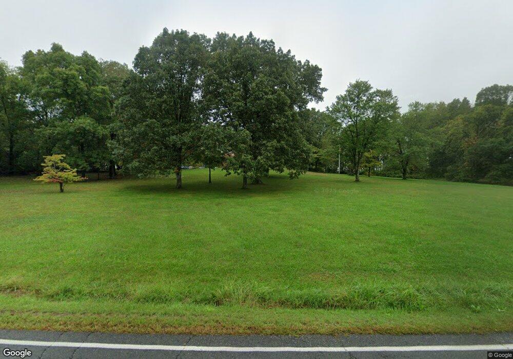
5153 Ritchie Rd Bealeton, VA 22712
Estimated Value: $422,000 - $601,000
3
Beds
2
Baths
1,404
Sq Ft
$365/Sq Ft
Est. Value
About This Home
This home is located at 5153 Ritchie Rd, Bealeton, VA 22712 and is currently estimated at $513,025, approximately $365 per square foot. 5153 Ritchie Rd is a home located in Fauquier County with nearby schools including Mary Walter Elementary School, Cedar Lee Middle School, and Liberty High School.
Ownership History
Date
Name
Owned For
Owner Type
Purchase Details
Closed on
May 25, 2016
Sold by
Constant Darlene F O and Olinger Wade M
Bought by
Constant Darlene F O and Olinger Wade M
Current Estimated Value
Purchase Details
Closed on
Oct 31, 2014
Sold by
Constant Darlene F O and Olinger Wade M
Bought by
Olinger Wade M and Jacobs Patricia O
Purchase Details
Closed on
Apr 10, 2014
Sold by
Constant Darlene F O and Jacobs Patricia O
Bought by
Constant Darlene F O and Jacobs Patricia O
Create a Home Valuation Report for This Property
The Home Valuation Report is an in-depth analysis detailing your home's value as well as a comparison with similar homes in the area
Purchase History
| Date | Buyer | Sale Price | Title Company |
|---|---|---|---|
| Constant Darlene F O | -- | None Available | |
| Olinger Wade M | -- | -- | |
| Constant Darlene F O | -- | -- |
Source: Public Records
Tax History Compared to Growth
Tax History
| Year | Tax Paid | Tax Assessment Tax Assessment Total Assessment is a certain percentage of the fair market value that is determined by local assessors to be the total taxable value of land and additions on the property. | Land | Improvement |
|---|---|---|---|---|
| 2025 | $3,155 | $326,300 | $121,700 | $204,600 |
| 2024 | $3,091 | $326,300 | $121,700 | $204,600 |
| 2023 | $2,960 | $326,300 | $121,700 | $204,600 |
| 2022 | $2,960 | $326,300 | $121,700 | $204,600 |
| 2021 | $1,966 | $246,700 | $106,700 | $140,000 |
| 2020 | $2,466 | $246,700 | $106,700 | $140,000 |
| 2019 | $2,466 | $246,700 | $106,700 | $140,000 |
| 2018 | $2,436 | $246,700 | $106,700 | $140,000 |
| 2016 | $2,198 | $210,200 | $110,400 | $99,800 |
| 2015 | -- | $210,200 | $110,400 | $99,800 |
| 2014 | -- | $210,200 | $110,400 | $99,800 |
Source: Public Records
Map
Nearby Homes
- 0 Rt 17 and Ritchie Rd Unit VAFQ2016840
- 0 Marsh Rd Unit VAFQ2019648
- 00 Baines Corner Rd
- 11378 Timbuktu Ln
- 000 Old Mill Rd
- 0 Kimberwood Ln Unit VAFQ2019816
- 4600 Anns Ln
- 11243 Blackwelltown Rd
- 0 Unassigned Unit VAFQ2013780
- 5474 Woodside Ln
- 5364 Woodside Ln
- 12586 Lake Coventry Dr
- 6237 Winston Place E
- 11242 Torrie Way Unit H
- 11238 Torrie Way Unit C
- 10843 Spencer St
- 3587 Monarch Ln
- 10816 King Nobel Ln
- 8014 Sherbeyn Rd
- 13328 Elk Run Rd
- 5145 Ritchie Rd
- 5177 Ritchie Rd
- 5187 Ritchie Rd
- 5078 Ritchie Rd
- 5176 Ritchie Rd
- 5174 Ritchie Rd
- 11738 Ag Industrial Dr
- 5305 Lake Ritchie Rd
- 5300 Lake Ritchie Rd
- 5274 Ritchie Rd
- 5126 Inglewood Farm Ln
- 5313 Ritchie Rd
- 1100 Farm Rd
- 0 Old Mill Rd Unit 1007118446
- 0 Old Mill Rd Unit 1004256267
- 0 Old Mill Rd Unit FQ8476635
- 0 Old Mill Rd Unit LotWP001 21203612
- 0 Old Mill Rd Unit VAFQ2016622
- 0 Old Mill Rd Unit VAFQ133664
- 0 Old Mill Rd Unit VAFQ133748
