5154 David Dr Oshkosh, WI 54904
Estimated Value: $538,000 - $778,000
4
Beds
4
Baths
3,417
Sq Ft
$187/Sq Ft
Est. Value
About This Home
This home is located at 5154 David Dr, Oshkosh, WI 54904 and is currently estimated at $640,337, approximately $187 per square foot. 5154 David Dr is a home located in Winnebago County with nearby schools including Patch Elementary School, Omro Elementary School, and Omro Middle School.
Ownership History
Date
Name
Owned For
Owner Type
Purchase Details
Closed on
May 18, 2023
Sold by
Noe Brian and Noe Paula M
Bought by
Brian And Paula Noe Living Trust
Current Estimated Value
Purchase Details
Closed on
Apr 30, 2021
Sold by
Dvorachek Eric A and Dvorachek Lisa A
Bought by
Herrick Clint G and Herrick Rebecca J
Home Financials for this Owner
Home Financials are based on the most recent Mortgage that was taken out on this home.
Original Mortgage
$330,000
Interest Rate
3%
Mortgage Type
New Conventional
Purchase Details
Closed on
Jan 12, 2011
Sold by
Noe Jennifer M
Bought by
Federal National Mortgage Association Ea
Purchase Details
Closed on
Jun 16, 2008
Sold by
Noe Jennifer M
Bought by
Noe Scott
Create a Home Valuation Report for This Property
The Home Valuation Report is an in-depth analysis detailing your home's value as well as a comparison with similar homes in the area
Home Values in the Area
Average Home Value in this Area
Purchase History
| Date | Buyer | Sale Price | Title Company |
|---|---|---|---|
| Brian And Paula Noe Living Trust | -- | None Listed On Document | |
| Herrick Clint G | $505,000 | None Available | |
| Federal National Mortgage Association Ea | $294,400 | -- | |
| Noe Scott | $350,000 | -- |
Source: Public Records
Mortgage History
| Date | Status | Borrower | Loan Amount |
|---|---|---|---|
| Previous Owner | Herrick Clint G | $330,000 |
Source: Public Records
Tax History
| Year | Tax Paid | Tax Assessment Tax Assessment Total Assessment is a certain percentage of the fair market value that is determined by local assessors to be the total taxable value of land and additions on the property. | Land | Improvement |
|---|---|---|---|---|
| 2024 | $6,694 | $444,300 | $68,100 | $376,200 |
| 2023 | $6,011 | $444,300 | $68,100 | $376,200 |
| 2022 | $6,246 | $444,300 | $68,100 | $376,200 |
| 2021 | $6,044 | $443,200 | $68,100 | $375,100 |
| 2020 | $6,099 | $352,100 | $41,300 | $310,800 |
| 2019 | $5,683 | $352,100 | $41,300 | $310,800 |
| 2018 | $5,977 | $352,100 | $41,300 | $310,800 |
| 2017 | $5,840 | $352,100 | $41,300 | $310,800 |
| 2016 | $5,742 | $352,100 | $41,300 | $310,800 |
| 2015 | $5,772 | $352,100 | $41,300 | $310,800 |
| 2014 | -- | $352,100 | $41,300 | $310,800 |
| 2013 | -- | $352,100 | $41,300 | $310,800 |
Source: Public Records
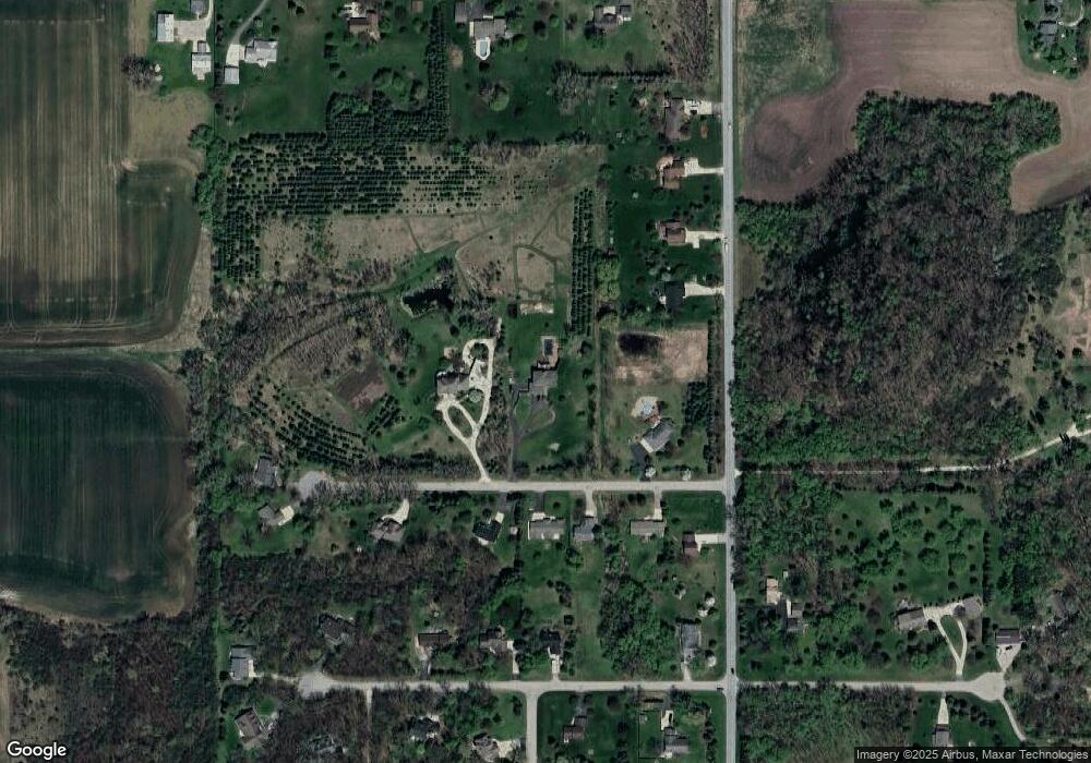
Map
Nearby Homes
- 0 Cornhusk Ln
- 5289 Cornhusk Ln
- 5304 Fenceline Ln
- 5316 Cornhusk Ln
- 4372 Lakeland Dr
- 5340 Wisconsin 21
- 1951 Amy jo Dr
- 0 Stonegate Ct
- 1 Reighmoor Rd
- 0 Leonard Point Rd Unit 50319203
- 3896 Highland Shore Ln
- 0 Pierce Ln
- 4164 Star Ct
- 1928 Timberline Dr
- 2985 Pine Ridge Rd
- 4175 Twilight Ct
- 3050 Waldwic Ln
- 2742 Shorehaven Ln
- 5987 County Rd E
- 0 Quail Run Dr Unit 50290410
- 5115 David Dr
- 5175 David Dr
- 5156 David Dr
- 5114 David Dr
- 5185 David Dr
- 0 Ciscel Dr
- 4235 Sand Pit Rd
- 4143 Alida Ln
- 4130 Alida Ln
- 5127 Ciscel Dr
- 5107 Ciscel Dr
- 5181 David Dr
- 4182 Sand Pit Rd
- 4249 Sand Pit Rd
- 4146 Alida Ln
- 5184 Ciscel Dr
- 5185 Ciscel Dr
- 5173 Ciscel Dr
- 4263 Sand Pit Rd
- 0 Sand Pit Rd Unit 20803015
Your Personal Tour Guide
Ask me questions while you tour the home.