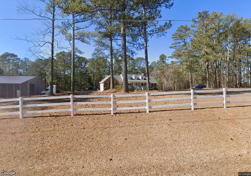
5155 Kent Rock Rd Unit 3 Loganville, GA 30052
Walnut Grove NeighborhoodEstimated Value: $500,209 - $556,000
4
Beds
4
Baths
3,393
Sq Ft
$156/Sq Ft
Est. Value
About This Home
This home is located at 5155 Kent Rock Rd Unit 3, Loganville, GA 30052 and is currently estimated at $527,802, approximately $155 per square foot. 5155 Kent Rock Rd Unit 3 is a home located in Walton County with nearby schools including Walnut Grove Elementary School, Youth Middle School, and Walnut Grove High School.
Ownership History
Date
Name
Owned For
Owner Type
Purchase Details
Closed on
Aug 30, 2019
Sold by
Kenerly Warren Jackson Estate
Bought by
Anderson Robert E and Anderson Dawn L
Current Estimated Value
Purchase Details
Closed on
May 19, 2010
Sold by
Kenerly Rebecca J
Bought by
Kenerly Warren J
Purchase Details
Closed on
Dec 3, 1999
Sold by
Anderson Jimmy
Bought by
Hiers Charles R and Hiers Susan E
Home Financials for this Owner
Home Financials are based on the most recent Mortgage that was taken out on this home.
Original Mortgage
$211,850
Interest Rate
7.8%
Mortgage Type
New Conventional
Purchase Details
Closed on
Jun 30, 1999
Sold by
Wall Janice A
Bought by
Anderson Jimmy
Home Financials for this Owner
Home Financials are based on the most recent Mortgage that was taken out on this home.
Original Mortgage
$300,000
Interest Rate
7.23%
Mortgage Type
New Conventional
Create a Home Valuation Report for This Property
The Home Valuation Report is an in-depth analysis detailing your home's value as well as a comparison with similar homes in the area
Home Values in the Area
Average Home Value in this Area
Purchase History
| Date | Buyer | Sale Price | Title Company |
|---|---|---|---|
| Anderson Robert E | $275,000 | -- | |
| Kenerly Warren J | -- | -- | |
| Hiers Charles R | $223,000 | -- | |
| Anderson Jimmy | $300,000 | -- |
Source: Public Records
Mortgage History
| Date | Status | Borrower | Loan Amount |
|---|---|---|---|
| Previous Owner | Hiers Charles R | $211,850 | |
| Previous Owner | Anderson Jimmy | $300,000 |
Source: Public Records
Tax History Compared to Growth
Tax History
| Year | Tax Paid | Tax Assessment Tax Assessment Total Assessment is a certain percentage of the fair market value that is determined by local assessors to be the total taxable value of land and additions on the property. | Land | Improvement |
|---|---|---|---|---|
| 2024 | $4,287 | $174,680 | $30,920 | $143,760 |
| 2023 | $4,187 | $160,000 | $25,440 | $134,560 |
| 2022 | $4,088 | $143,480 | $22,560 | $120,920 |
| 2021 | $3,789 | $122,600 | $16,960 | $105,640 |
| 2020 | $3,589 | $116,840 | $14,480 | $102,360 |
| 2019 | $3,722 | $106,960 | $12,680 | $94,280 |
| 2018 | $914 | $106,960 | $12,680 | $94,280 |
| 2017 | $3,598 | $104,440 | $12,680 | $91,760 |
| 2016 | $885 | $90,600 | $11,200 | $79,400 |
| 2015 | $885 | $84,120 | $11,200 | $72,920 |
| 2014 | $918 | $82,760 | $0 | $0 |
Source: Public Records
Map
Nearby Homes
- 5145 Kent Rock Rd
- 0 Emmett Still-Lot 4 Rd
- 5460 Emmett Still Rd
- 1393 Silver Thorne Ct
- 1006 Silver Thorne Dr
- 4951 Center Hill Church Rd
- 1030 Silver Thorne Dr
- 1050 Silver Thorne Dr
- 2391 Rabbit Farm Cir
- 2431 Rabbit Farm Cir
- 5330 Waterport Dr
- 2000 Sage Ct
- 2035 Gum Creek Ln
- 1841 Harvest Way Unit 2
- 1015 Carriage Way
- 5319 Haynes Creek Dr
- 5155 Kent Rock Rd
- 5159 Kent Rock Rd
- 5149 Kent Rock Rd
- 5163 Kent Rock Rd
- 5171 Kent Rock Rd
- 1028 Honey Ln
- 1025 Honey Ln
- 819 Kennedy Ct Unit 20
- 819 Kennedy Ct
- 2708 Honey Locust
- 2771 Honey Locust Ct
- 2748 Honey Locust Ct
- 2701 Honey Locust
- 2768 Honey Locust Ct
- 2781 Honey Locust
- 2778 Honey Locust Ct
- 2738 Honey Locust Unit 59
- 2708 Honey Locust Unit 62
- 2701 Honey Locust Unit 63
- 2801 Honey Locust Ct Unit 71