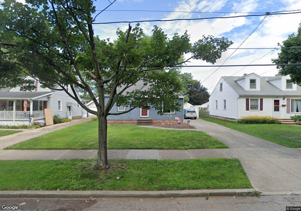
5155 W 8th St Independence, OH 44131
Estimated Value: $209,952 - $225,000
3
Beds
1
Bath
1,342
Sq Ft
$164/Sq Ft
Est. Value
About This Home
This home is located at 5155 W 8th St, Independence, OH 44131 and is currently estimated at $219,488, approximately $163 per square foot. 5155 W 8th St is a home located in Cuyahoga County with nearby schools including Cuyahoga Heights Elementary School, Cuyahoga Heights Middle School, and Cuyahoga Heights High School.
Ownership History
Date
Name
Owned For
Owner Type
Purchase Details
Closed on
Jan 18, 2017
Sold by
Zorc Gary
Bought by
Zorc Craig J
Current Estimated Value
Purchase Details
Closed on
Mar 9, 1994
Sold by
Zorc Gary J
Bought by
Zorc Craig J
Purchase Details
Closed on
Dec 15, 1992
Sold by
Zorc Gary J
Bought by
Zorc Gary J
Purchase Details
Closed on
Oct 12, 1988
Sold by
Cusick Martha M
Bought by
Cusick Glenn M
Purchase Details
Closed on
Jul 9, 1985
Sold by
Robert D Cusick
Bought by
Cusick Martha M
Purchase Details
Closed on
Mar 30, 1985
Sold by
Cusick Robert D and Cusick Martha M
Bought by
Robert D Cusick
Purchase Details
Closed on
Jan 1, 1975
Bought by
Cusick Robert D and Cusick Martha M
Create a Home Valuation Report for This Property
The Home Valuation Report is an in-depth analysis detailing your home's value as well as a comparison with similar homes in the area
Home Values in the Area
Average Home Value in this Area
Purchase History
| Date | Buyer | Sale Price | Title Company |
|---|---|---|---|
| Zorc Craig J | -- | None Available | |
| Zorc Craig J | $46,500 | -- | |
| Zorc Gary J | -- | -- | |
| Zorc Gary J | $93,000 | -- | |
| Cusick Glenn M | -- | -- | |
| Cusick Martha M | -- | -- | |
| Robert D Cusick | -- | -- | |
| Cusick Robert D | -- | -- |
Source: Public Records
Tax History Compared to Growth
Tax History
| Year | Tax Paid | Tax Assessment Tax Assessment Total Assessment is a certain percentage of the fair market value that is determined by local assessors to be the total taxable value of land and additions on the property. | Land | Improvement |
|---|---|---|---|---|
| 2024 | $2,910 | $59,745 | $11,165 | $48,580 |
| 2023 | $2,668 | $53,100 | $12,570 | $40,530 |
| 2022 | $2,645 | $53,100 | $12,570 | $40,530 |
| 2021 | $2,604 | $53,100 | $12,570 | $40,530 |
| 2020 | $2,454 | $44,980 | $10,640 | $34,340 |
| 2019 | $2,353 | $128,500 | $30,400 | $98,100 |
| 2018 | $2,335 | $44,980 | $10,640 | $34,340 |
| 2017 | $2,234 | $40,150 | $9,660 | $30,490 |
| 2016 | $2,211 | $40,150 | $9,660 | $30,490 |
| 2015 | $2,280 | $40,150 | $9,660 | $30,490 |
| 2014 | $2,280 | $41,380 | $9,980 | $31,400 |
Source: Public Records
Map
Nearby Homes
- 5085 W 6th St
- 5554 Landover Ct Unit 282
- 5118 W 4th St
- 5553 Sunset Ln Unit A15-F
- 5231 W 16th St
- 1716 Tuxedo Ave
- 2129 North Ave
- 4884 W 13th St
- 4859 W 13th St
- 2302 Brookdale Ave
- 281 Crescent Ridge Dr
- 2621 Belmont Dr
- 2503 Brookdale Ave
- 2506 Fortune Ave
- 2137 Silverdale Ave
- 664 E Dawnwood Dr
- 650 E Dartmoor Ave
- 1319 Dartmoor Ave
- 181 E Hillsdale Ave
- 1917 Alvin Ave