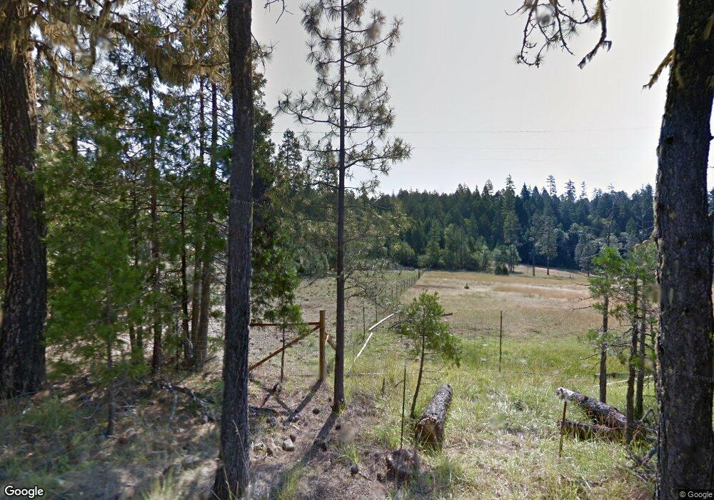
5157 W Side Rd Cave Junction, OR 97523
--
Bed
--
Bath
--
Sq Ft
327,136
Sq Ft Lot
About This Home
This home is located at 5157 W Side Rd, Cave Junction, OR 97523. 5157 W Side Rd is a home located in Josephine County with nearby schools including Evergreen Elementary School, Lorna Byrne Middle School, and Illinois Valley High School.
Create a Home Valuation Report for This Property
The Home Valuation Report is an in-depth analysis detailing your home's value as well as a comparison with similar homes in the area
Tax History
| Year | Tax Paid | Tax Assessment Tax Assessment Total Assessment is a certain percentage of the fair market value that is determined by local assessors to be the total taxable value of land and additions on the property. | Land | Improvement |
|---|---|---|---|---|
| 2025 | $1,138 | $113,740 | -- | -- |
| 2024 | $1,138 | $110,430 | -- | -- |
| 2022 | $997 | $104,100 | -- | -- |
| 2020 | $813 | $0 | $0 | $0 |
| 2019 | $570 | $85,280 | $0 | $0 |
| 2018 | $578 | $82,800 | $0 | $0 |
| 2017 | $578 | $80,390 | $0 | $0 |
| 2016 | $1,546 | $78,050 | $0 | $0 |
Source: Public Records
Map
Nearby Homes
- 585 E Forks Cir
- 587 E Forks Cir
- 595 E Forks Cir
- 568 E Forks Cir
- 565 E Forks Cir
- 597 E Forks Cir Unit Lot21
- 561 E Forks Cir
- 564 E Forks Cir
- 527 E Forks Cir
- 5322 Rockydale Rd
- 681 Daisy Hill Rd
- 1411 Rockydale Rd
- 1449 Rockydale Rd
- 350 Hamilton Ave
- 222 Ollis Rd Unit 60
- 580 W River St
- 100 Burch Dr
- 310 S Kerby Ave
- 105 Raymond St
- 611 S Junction Ave
Your Personal Tour Guide
Ask me questions while you tour the home.