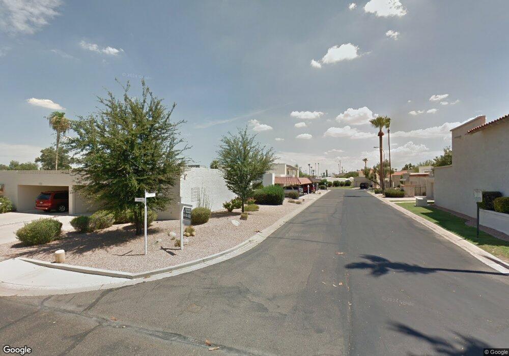
5159 N 77th St Unit 18 Scottsdale, AZ 85250
Indian Bend NeighborhoodEstimated Value: $345,434 - $459,000
--
Bed
2
Baths
1,093
Sq Ft
$367/Sq Ft
Est. Value
About This Home
This home is located at 5159 N 77th St Unit 18, Scottsdale, AZ 85250 and is currently estimated at $400,859, approximately $366 per square foot. 5159 N 77th St Unit 18 is a home located in Maricopa County with nearby schools including Kiva Elementary School, Mohave Middle School, and Saguaro High School.
Ownership History
Date
Name
Owned For
Owner Type
Purchase Details
Closed on
Jun 3, 2002
Sold by
Andrews Charles Stuart and Andrews Enid
Bought by
Bjorn John Michael
Current Estimated Value
Home Financials for this Owner
Home Financials are based on the most recent Mortgage that was taken out on this home.
Original Mortgage
$110,000
Outstanding Balance
$46,280
Interest Rate
6.74%
Mortgage Type
New Conventional
Estimated Equity
$354,579
Purchase Details
Closed on
Feb 22, 1995
Sold by
Adams Loren W and Adams Naomi A
Bought by
Andrews Charles Stuart and Andrews Enid
Home Financials for this Owner
Home Financials are based on the most recent Mortgage that was taken out on this home.
Original Mortgage
$50,000
Interest Rate
9.09%
Mortgage Type
Seller Take Back
Create a Home Valuation Report for This Property
The Home Valuation Report is an in-depth analysis detailing your home's value as well as a comparison with similar homes in the area
Home Values in the Area
Average Home Value in this Area
Purchase History
| Date | Buyer | Sale Price | Title Company |
|---|---|---|---|
| Bjorn John Michael | $120,000 | Stewart Title & Trust | |
| Andrews Charles Stuart | $75,000 | Chicago Title Insurance Co |
Source: Public Records
Mortgage History
| Date | Status | Borrower | Loan Amount |
|---|---|---|---|
| Open | Bjorn John Michael | $110,000 | |
| Previous Owner | Andrews Charles Stuart | $50,000 |
Source: Public Records
Tax History Compared to Growth
Tax History
| Year | Tax Paid | Tax Assessment Tax Assessment Total Assessment is a certain percentage of the fair market value that is determined by local assessors to be the total taxable value of land and additions on the property. | Land | Improvement |
|---|---|---|---|---|
| 2025 | $1,189 | $16,838 | -- | -- |
| 2024 | $1,126 | $16,037 | -- | -- |
| 2023 | $1,126 | $29,920 | $5,980 | $23,940 |
| 2022 | $1,068 | $23,350 | $4,670 | $18,680 |
| 2021 | $1,135 | $21,270 | $4,250 | $17,020 |
| 2020 | $1,125 | $19,220 | $3,840 | $15,380 |
| 2019 | $1,086 | $17,800 | $3,560 | $14,240 |
| 2018 | $1,051 | $16,720 | $3,340 | $13,380 |
| 2017 | $1,007 | $16,470 | $3,290 | $13,180 |
| 2016 | $987 | $15,520 | $3,100 | $12,420 |
| 2015 | $940 | $13,930 | $2,780 | $11,150 |
Source: Public Records
Map
Nearby Homes
- 7706 E Vista Dr
- 7634 E Vista Dr
- 7613 E Vista Dr
- 5139 N 76th Place Unit 47
- 7643 E Medlock Dr Unit 34
- 7632 E Bonita Dr
- 7666 E Bonita Dr
- 5316 N 78th Place
- 5335 N 78th St
- 7630 E Bonnie Rose Ave
- 7837 E Crestwood Way
- 5032 N 78th St
- 7630 E Pasadena Ave
- 5100 N Miller Rd Unit 20
- 7706 E Chaparral Rd
- 5030 N 78th Place
- 7921 E Plaza Ave
- 7785 E Luke Ln
- 7944 E Vista Dr
- 7662 E Northland Dr
- 5155 N 77th St
- 5155 N 77th St Unit B
- 5155 N 77th St Unit 9
- 5155 N 77th St Unit 19
- 5151 N 77th St
- 5151 N 77th St Unit B
- 5151 N 77th St
- 5151 N 77th St Unit 21
- 5151 N 77th St Unit 9
- 5151 N 77th St Unit A
- 5151 N 77 St N Unit A
- 5163 N 77th St Unit 9
- 7704 E Sandalwood Dr
- 7706 E Sandalwood Dr Unit 25
- 7706 E Sandalwood Dr Unit 24
- 7706 E Sandalwood Dr Unit B
- 7706 E Sandalwood Dr
- 7706 E Sandalwood Dr Unit A
- 7709 E Vista Dr Unit 14
- 7701 E Vista Dr Unit 16