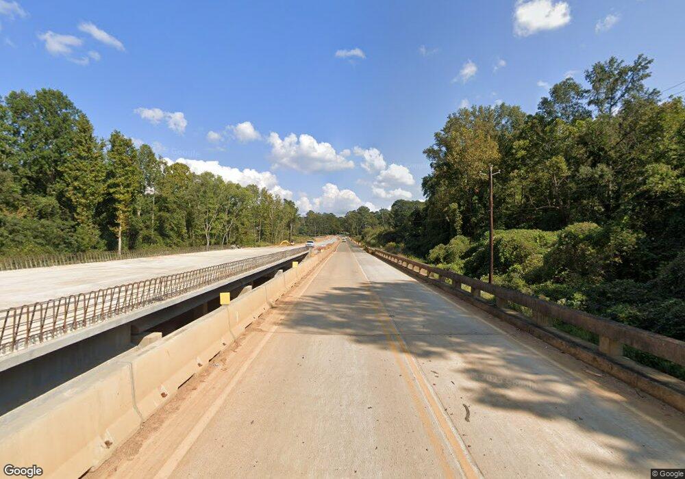
5159 W Highway 166 Carrollton, GA 30117
Estimated Value: $243,000 - $378,000
4
Beds
3
Baths
1,378
Sq Ft
$236/Sq Ft
Est. Value
About This Home
This home is located at 5159 W Highway 166, Carrollton, GA 30117 and is currently estimated at $324,632, approximately $235 per square foot. 5159 W Highway 166 is a home located in Carroll County with nearby schools including Bowdon Elementary School, Bowdon Middle School, and Bowdon High School.
Ownership History
Date
Name
Owned For
Owner Type
Purchase Details
Closed on
Dec 21, 2020
Sold by
Hayes Tyler Joe
Bought by
Hayes Jacob Mitchell
Current Estimated Value
Home Financials for this Owner
Home Financials are based on the most recent Mortgage that was taken out on this home.
Original Mortgage
$112,000
Outstanding Balance
$90,770
Interest Rate
2.8%
Mortgage Type
New Conventional
Estimated Equity
$233,862
Purchase Details
Closed on
Sep 20, 2019
Sold by
Hayes Danny Joe
Bought by
Hayes Tyler Joe and Hayes Jacob Mitchell
Purchase Details
Closed on
Dec 13, 1996
Sold by
Benko Donald Billie
Bought by
Hayes Danny
Purchase Details
Closed on
Jun 25, 1983
Bought by
Benko Donald Billie
Create a Home Valuation Report for This Property
The Home Valuation Report is an in-depth analysis detailing your home's value as well as a comparison with similar homes in the area
Home Values in the Area
Average Home Value in this Area
Purchase History
| Date | Buyer | Sale Price | Title Company |
|---|---|---|---|
| Hayes Jacob Mitchell | -- | -- | |
| Hayes Tyler Joe | -- | -- | |
| Hayes Danny | $75,000 | -- | |
| Benko Donald Billie | -- | -- |
Source: Public Records
Mortgage History
| Date | Status | Borrower | Loan Amount |
|---|---|---|---|
| Open | Hayes Jacob Mitchell | $112,000 |
Source: Public Records
Tax History Compared to Growth
Tax History
| Year | Tax Paid | Tax Assessment Tax Assessment Total Assessment is a certain percentage of the fair market value that is determined by local assessors to be the total taxable value of land and additions on the property. | Land | Improvement |
|---|---|---|---|---|
| 2024 | $3,300 | $145,867 | $37,697 | $108,170 |
| 2023 | $3,300 | $128,882 | $30,158 | $98,724 |
| 2022 | $2,492 | $99,369 | $20,105 | $79,264 |
| 2021 | $2,162 | $84,327 | $16,084 | $68,243 |
| 2020 | $1,915 | $74,606 | $14,622 | $59,984 |
| 2019 | $1,617 | $69,158 | $14,319 | $54,839 |
| 2018 | $1,482 | $60,420 | $13,382 | $47,038 |
| 2017 | $1,486 | $60,420 | $13,382 | $47,038 |
| 2016 | $730 | $31,723 | $13,382 | $18,341 |
| 2015 | $858 | $34,686 | $12,506 | $22,180 |
| 2014 | $862 | $34,686 | $12,506 | $22,180 |
Source: Public Records
Map
Nearby Homes
- 5119 W Highway 166
- 1852 Burwell Rd
- 90 Washington St
- 103 Red Oak Dr
- 64 Twin Oak Dr
- 37 Cedar Dr
- 102 Red Oak Dr
- 3715 Lovvorn Rd
- 3707 Lovvorn Rd
- 3699 Lovvorn Rd
- 96 Old Bowdon Rd
- 92 Old Bowdon Rd
- 183 Madden Rd
- 1175 Burwell Mount Zion Rd
- 33 & 67 Lambert Ln
- Plan 1709 at Scarlett Place
- Plan 2709 at Scarlett Place
- Plan 2316 at Scarlett Place
- Plan 1902 at Scarlett Place
- 5159 W Highway 166
- 5147 W Highway 166
- 5137 W Highway 166
- 5142 Georgia 166
- 5186 W Highway 166
- 162 Garrett Cir
- 184 Garrett Cir
- 136 Garrett Cir
- 210 Garrett Cir
- 5086 W Highway 166
- 236 Garrett Cir
- 173 Garrett Cir
- 55 Burwell Mount Zion Rd
- 55 Burwell Mount Zion Rd
- 0 Burwell-Mt Zion Rd Unit 20077710
- 109 Garrett Cir
- 0 Garrett Cir Unit 7048441
- 0 Garrett Cir Unit 3199724
- 0 Garrett Cir Unit 8537002
- 0 Garrett Cir Unit 8421788
