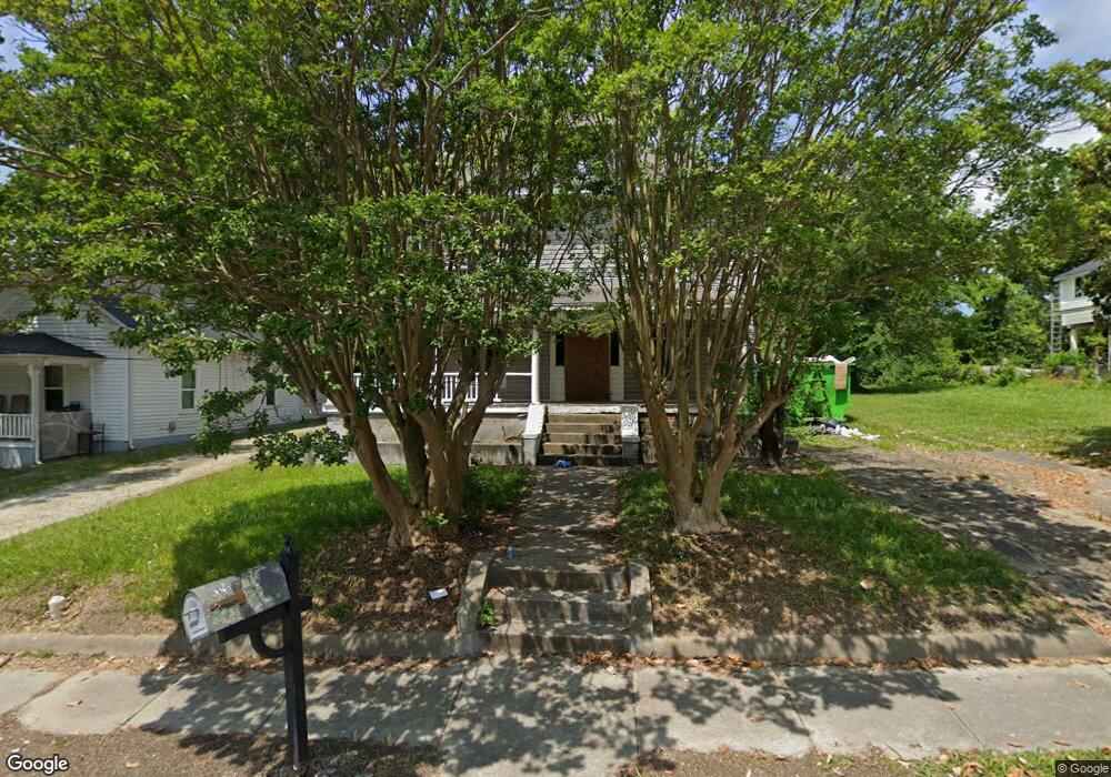
516 Cable St High Point, NC 27260
Downtown High Point NeighborhoodEstimated Value: $127,000 - $218,000
4
Beds
2
Baths
2,406
Sq Ft
$76/Sq Ft
Est. Value
About This Home
This home is located at 516 Cable St, High Point, NC 27260 and is currently estimated at $183,452, approximately $76 per square foot. 516 Cable St is a home located in Guilford County with nearby schools including Northwood Elementary School, Ferndale Middle School, and High Point Central High School.
Ownership History
Date
Name
Owned For
Owner Type
Purchase Details
Closed on
Oct 2, 2006
Sold by
Wells Fargo Bank Na
Bought by
Striblin Gary L
Current Estimated Value
Home Financials for this Owner
Home Financials are based on the most recent Mortgage that was taken out on this home.
Original Mortgage
$53,900
Outstanding Balance
$36,373
Interest Rate
8.97%
Mortgage Type
Purchase Money Mortgage
Estimated Equity
$147,079
Purchase Details
Closed on
May 30, 2006
Sold by
Wilson Rufus A
Bought by
Wells Fargo Bank Na
Purchase Details
Closed on
Apr 10, 2002
Sold by
Gerringer Gladys B and Shetler Linda
Bought by
Wilson Rufus A
Home Financials for this Owner
Home Financials are based on the most recent Mortgage that was taken out on this home.
Original Mortgage
$64,355
Interest Rate
6.89%
Mortgage Type
FHA
Create a Home Valuation Report for This Property
The Home Valuation Report is an in-depth analysis detailing your home's value as well as a comparison with similar homes in the area
Home Values in the Area
Average Home Value in this Area
Purchase History
| Date | Buyer | Sale Price | Title Company |
|---|---|---|---|
| Striblin Gary L | $60,000 | None Available | |
| Wells Fargo Bank Na | $99,424 | None Available | |
| Wilson Rufus A | $65,500 | -- |
Source: Public Records
Mortgage History
| Date | Status | Borrower | Loan Amount |
|---|---|---|---|
| Open | Striblin Gary L | $53,900 | |
| Previous Owner | Wilson Rufus A | $64,355 |
Source: Public Records
Tax History
| Year | Tax Paid | Tax Assessment Tax Assessment Total Assessment is a certain percentage of the fair market value that is determined by local assessors to be the total taxable value of land and additions on the property. | Land | Improvement |
|---|---|---|---|---|
| 2025 | $1,054 | $76,500 | $11,000 | $65,500 |
| 2024 | $1,054 | $76,500 | $11,000 | $65,500 |
| 2023 | $1,054 | $76,500 | $11,000 | $65,500 |
| 2022 | $1,031 | $76,500 | $11,000 | $65,500 |
| 2021 | $648 | $47,000 | $5,000 | $42,000 |
| 2020 | $1,648 | $47,000 | $5,000 | $42,000 |
| 2019 | $648 | $47,000 | $0 | $0 |
| 2018 | $920 | $47,000 | $0 | $0 |
| 2017 | $644 | $47,000 | $0 | $0 |
| 2016 | $597 | $42,600 | $0 | $0 |
| 2015 | $601 | $42,600 | $0 | $0 |
| 2014 | $611 | $42,600 | $0 | $0 |
Source: Public Records
Map
Nearby Homes
- 515 Cable St
- 516 Whiteoak St
- 518 Whiteoak St
- 517 Walnut St
- 809 E Green Dr
- 1219 Furlough Ave
- 812 E Russell Ave
- 311 Park St
- 1314 Franklin Ave
- 1204 Pearson Place
- 1201 Pearson Place
- 1224 S Downing St
- 640 Wesley Dr
- 705 Wise Ave
- 427 Tate St
- 702 Park St
- 1907 E Green Dr
- 505 E Grimes Ave
- 909 Randolph St
- 114 Eccles Place
Your Personal Tour Guide
Ask me questions while you tour the home.