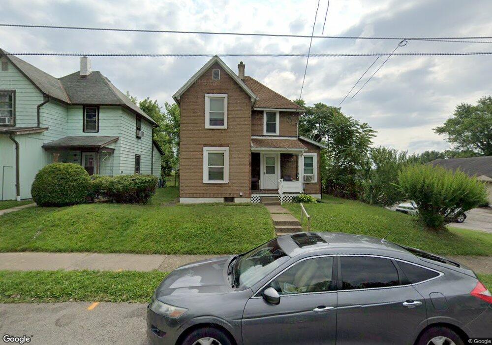
516 Daisy St Mansfield, OH 44903
Estimated Value: $59,000 - $74,000
2
Beds
1
Bath
1,088
Sq Ft
$59/Sq Ft
Est. Value
About This Home
This home is located at 516 Daisy St, Mansfield, OH 44903 and is currently estimated at $64,381, approximately $59 per square foot. 516 Daisy St is a home located in Richland County with nearby schools including Goal Digital Academy, St. Peter's Elementary/Montessori School, and St. Peter's High School/Junior High.
Ownership History
Date
Name
Owned For
Owner Type
Purchase Details
Closed on
Feb 28, 2022
Sold by
Eatmon Donnie L
Bought by
814 Llc
Current Estimated Value
Home Financials for this Owner
Home Financials are based on the most recent Mortgage that was taken out on this home.
Original Mortgage
$114,750
Interest Rate
3.92%
Mortgage Type
Construction
Purchase Details
Closed on
Oct 9, 2015
Sold by
Eatmon Donnie L
Bought by
Restoration Building Services Llc
Purchase Details
Closed on
Nov 13, 2014
Sold by
Bradshaw Kelly M
Bought by
Eatmon Donnie L
Purchase Details
Closed on
Nov 15, 2011
Sold by
Majors Toyia
Bought by
Bradshaw Kelly M
Create a Home Valuation Report for This Property
The Home Valuation Report is an in-depth analysis detailing your home's value as well as a comparison with similar homes in the area
Home Values in the Area
Average Home Value in this Area
Purchase History
| Date | Buyer | Sale Price | Title Company |
|---|---|---|---|
| 814 Llc | -- | New Title Company Name | |
| Restoration Building Services Llc | -- | Attorney | |
| Eatmon Donnie L | -- | Attorney | |
| Bradshaw Kelly M | $4,800 | Barrister Title Group |
Source: Public Records
Mortgage History
| Date | Status | Borrower | Loan Amount |
|---|---|---|---|
| Previous Owner | 814 Llc | $114,750 |
Source: Public Records
Tax History Compared to Growth
Tax History
| Year | Tax Paid | Tax Assessment Tax Assessment Total Assessment is a certain percentage of the fair market value that is determined by local assessors to be the total taxable value of land and additions on the property. | Land | Improvement |
|---|---|---|---|---|
| 2024 | $558 | $11,650 | $1,210 | $10,440 |
| 2023 | $558 | $11,650 | $1,210 | $10,440 |
| 2022 | $226 | $3,960 | $1,100 | $2,860 |
| 2021 | $228 | $3,960 | $1,100 | $2,860 |
| 2020 | $233 | $3,960 | $1,100 | $2,860 |
| 2019 | $258 | $3,960 | $1,100 | $2,860 |
| 2018 | $255 | $3,960 | $1,100 | $2,860 |
| 2017 | $248 | $3,960 | $1,100 | $2,860 |
| 2016 | $68 | $1,050 | $700 | $350 |
| 2015 | $68 | $1,050 | $700 | $350 |
| 2014 | $418 | $6,870 | $1,750 | $5,120 |
| 2012 | $320 | $6,870 | $1,840 | $5,030 |
Source: Public Records
Map
Nearby Homes
- 452 Daisy St
- 156 Buckingham Ave Unit 158
- 526 Bowman St
- 283 Bulkley Ave
- 743 Bowman St
- 371 Bell St
- 458 Wayne St
- 0 Voegele Ave Unit Lot 6048, 6049, 6
- 346 Newman St
- 426 Mcpherson St
- 311 Auburn St
- 169 W 5th St
- 219 W 5th St
- 362-364 W 6th St
- 282 W 5th St
- 0 Highway 30
- 512 Burns St
- 411 Grace St
- 395 Auburn St
- 328 2nd Ave