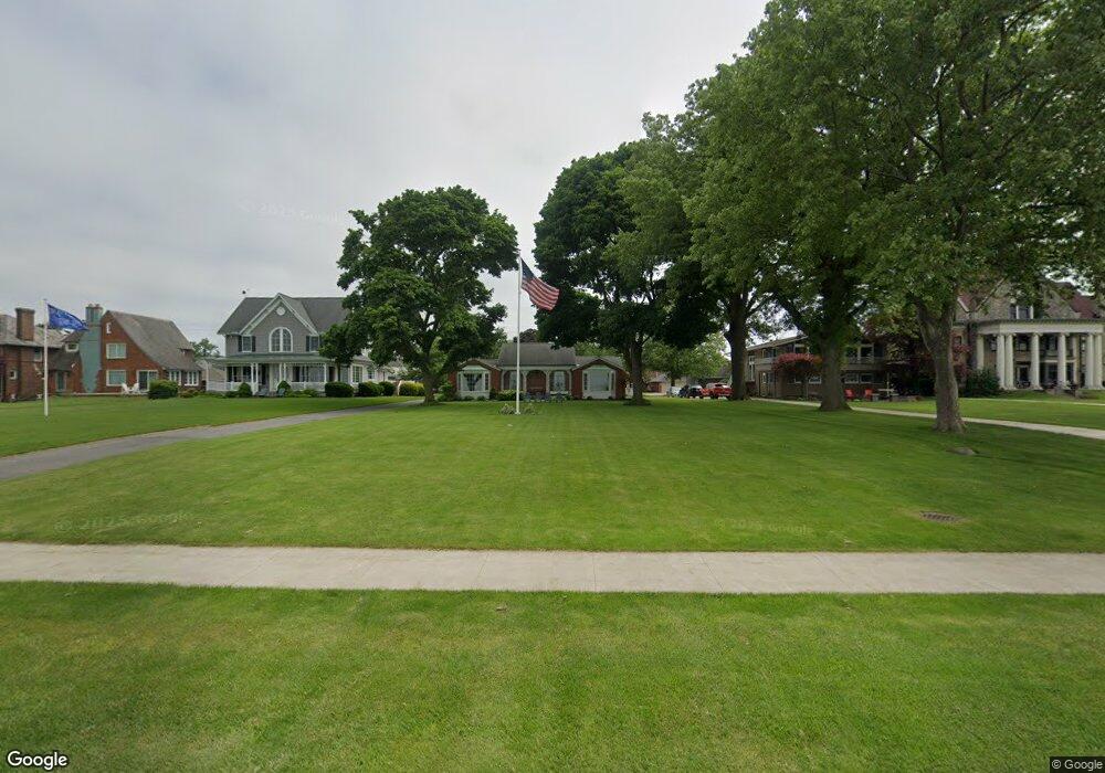
516 E Perry St Port Clinton, OH 43452
Estimated Value: $482,000 - $722,827
3
Beds
3
Baths
3,341
Sq Ft
$171/Sq Ft
Est. Value
About This Home
This home is located at 516 E Perry St, Port Clinton, OH 43452 and is currently estimated at $570,707, approximately $170 per square foot. 516 E Perry St is a home located in Ottawa County with nearby schools including Bataan Memorial Primary School, Bataan Memorial Intermediate School, and Port Clinton Middle School.
Ownership History
Date
Name
Owned For
Owner Type
Purchase Details
Closed on
Sep 24, 2019
Sold by
Brand Cornelia L and Cornelia L Brand Revocable Tru
Bought by
Bettendorf Edward L and Bettendorf Restatemen Edward L
Current Estimated Value
Purchase Details
Closed on
Oct 20, 2009
Sold by
The Trust For Public Land
Bought by
Brand Cornelia L and Cornelia L Brand Revocable Trust
Purchase Details
Closed on
Jun 28, 2008
Sold by
Brand Cornelia L
Bought by
The Trust For Public Land
Create a Home Valuation Report for This Property
The Home Valuation Report is an in-depth analysis detailing your home's value as well as a comparison with similar homes in the area
Home Values in the Area
Average Home Value in this Area
Purchase History
| Date | Buyer | Sale Price | Title Company |
|---|---|---|---|
| Bettendorf Edward L | $475,500 | Hartung Title | |
| Brand Cornelia L | -- | Hartung Title | |
| The Trust For Public Land | $50,000 | Hartung Title |
Source: Public Records
Tax History
| Year | Tax Paid | Tax Assessment Tax Assessment Total Assessment is a certain percentage of the fair market value that is determined by local assessors to be the total taxable value of land and additions on the property. | Land | Improvement |
|---|---|---|---|---|
| 2024 | $7,417 | $213,119 | $114,048 | $99,071 |
| 2023 | $7,569 | $167,122 | $76,034 | $91,088 |
| 2022 | $6,642 | $167,122 | $76,034 | $91,088 |
| 2021 | $6,637 | $167,120 | $76,030 | $91,090 |
| 2020 | $4,955 | $130,410 | $60,830 | $69,580 |
| 2019 | $4,454 | $130,410 | $60,830 | $69,580 |
| 2018 | $4,447 | $130,410 | $60,830 | $69,580 |
| 2017 | $4,246 | $123,070 | $60,830 | $62,240 |
| 2016 | $4,255 | $123,070 | $60,830 | $62,240 |
| 2015 | $4,271 | $123,070 | $60,830 | $62,240 |
| 2014 | $2,154 | $123,070 | $60,830 | $62,240 |
| 2013 | $4,317 | $123,070 | $60,830 | $62,240 |
Source: Public Records
Map
Nearby Homes
- 521 E 2nd St
- 525 E 2nd St
- 122 Washington St
- 2621 N Peachtree Lane # Sublot 1
- 2453 N Peachtree Lane # Sublot 7
- 2481 N Peachtree Lane # Sublot 6
- 2565 N Peachtree Lane # Sublot 3
- 0 Mouse Island Unit 20252634
- 2369 N Peachtree Lane # Sublot 10
- 2397 N Peachtree Lane # Sublot 9
- 2509 N Peachtree Lane # Sublot 5
- 0 Mouse Island Unit 5139279
- 2425 N Peachtree Lane # Sublot 8
- 801 E 3rd St
- 218 Elm St
- 1011 E 2nd St
- 232 Beech St
- 35 N Beach St
- 29 N Beach St
- 116 Walnut St
Your Personal Tour Guide
Ask me questions while you tour the home.