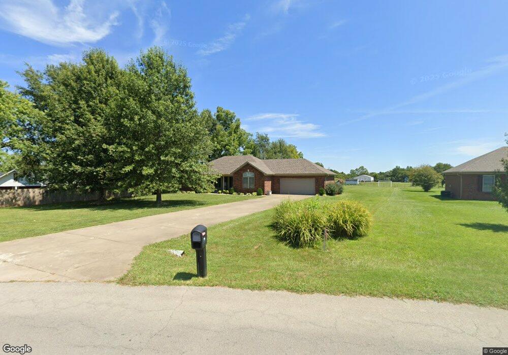
516 Ed Pile Rd Bardstown, KY 40004
Estimated Value: $296,000 - $361,000
3
Beds
2
Baths
1,638
Sq Ft
$202/Sq Ft
Est. Value
About This Home
This home is located at 516 Ed Pile Rd, Bardstown, KY 40004 and is currently estimated at $331,648, approximately $202 per square foot. 516 Ed Pile Rd is a home located in Nelson County with nearby schools including Nelson County High School and Bluegrass Christian Academy.
Ownership History
Date
Name
Owned For
Owner Type
Purchase Details
Closed on
Nov 30, 2023
Sold by
County Of Nelson Kentucky
Bought by
Downs Eunice
Current Estimated Value
Purchase Details
Closed on
Jun 18, 2007
Sold by
Bobby S Mattingly Connstruction Inc
Bought by
Downs Eunice
Home Financials for this Owner
Home Financials are based on the most recent Mortgage that was taken out on this home.
Original Mortgage
$122,400
Interest Rate
6.12%
Mortgage Type
New Conventional
Purchase Details
Closed on
Feb 26, 2007
Sold by
Jbr Development Inc
Bought by
Bobby S Mattingly Construction Inc
Home Financials for this Owner
Home Financials are based on the most recent Mortgage that was taken out on this home.
Original Mortgage
$135,000
Interest Rate
6.19%
Mortgage Type
Purchase Money Mortgage
Create a Home Valuation Report for This Property
The Home Valuation Report is an in-depth analysis detailing your home's value as well as a comparison with similar homes in the area
Home Values in the Area
Average Home Value in this Area
Purchase History
| Date | Buyer | Sale Price | Title Company |
|---|---|---|---|
| Downs Eunice | -- | None Listed On Document | |
| Downs Eunice | $153,000 | None Available | |
| Bobby S Mattingly Construction Inc | $17,500 | None Available |
Source: Public Records
Mortgage History
| Date | Status | Borrower | Loan Amount |
|---|---|---|---|
| Previous Owner | Downs Eunice | $122,400 | |
| Previous Owner | Bobby S Mattingly Construction Inc | $135,000 |
Source: Public Records
Tax History Compared to Growth
Tax History
| Year | Tax Paid | Tax Assessment Tax Assessment Total Assessment is a certain percentage of the fair market value that is determined by local assessors to be the total taxable value of land and additions on the property. | Land | Improvement |
|---|---|---|---|---|
| 2024 | $2,043 | $188,300 | $0 | $0 |
| 2023 | $2,043 | $188,300 | $0 | $0 |
| 2022 | $2,088 | $188,300 | $188,300 | $0 |
| 2021 | $2,114 | $188,300 | $188,300 | $0 |
| 2020 | $2,069 | $188,300 | $188,300 | $0 |
| 2019 | $1,777 | $153,000 | $153,000 | $0 |
| 2018 | $1,812 | $153,000 | $153,000 | $0 |
| 2017 | -- | $153,000 | $153,000 | $0 |
| 2016 | -- | $153,000 | $153,000 | $0 |
| 2015 | $1,574 | $153,000 | $153,000 | $0 |
| 2012 | $1,574 | $153,000 | $153,000 | $0 |
Source: Public Records
Map
Nearby Homes
- 1018 Farmaway Dr
- 1003 Polley Dr
- 650 Poplar Flat Rd
- 112 Poplar Wood Dr
- Lot 52 Brookside St
- 1017 Polley Dr
- 602 Briar Cliff Rd
- 61 Manton Rd
- 4198 Springfield Rd
- 311 Marks Ln
- 1002 Ashleigh Way
- 1018 Woodside Dr
- 119 Quiet Spring Dr
- 501 Shumate Ln
- 106 Quiet Spring Dr
- 123 Crystal Springs Dr
- 100 Clear Spring Dr
- 104 Crystal Springs Dr
- 122 Shallow Springs Ct
- 1206 Oak Knoll Dr