516 Kirkcaldy Way Abingdon, MD 21009
Estimated Value: $340,154 - $420,000
Studio
2
Baths
1,772
Sq Ft
$214/Sq Ft
Est. Value
About This Home
This home is located at 516 Kirkcaldy Way, Abingdon, MD 21009 and is currently estimated at $379,789, approximately $214 per square foot. 516 Kirkcaldy Way is a home located in Harford County with nearby schools including Emmorton Elementary School, Bel Air Middle School, and Bel Air High School.
Ownership History
Date
Name
Owned For
Owner Type
Purchase Details
Closed on
Feb 24, 2010
Sold by
Rathburn Michael L
Bought by
Rathburn Bronwyn A
Current Estimated Value
Purchase Details
Closed on
May 30, 2003
Sold by
Posner Victor
Bought by
Rathburn Michael L and Rathburn Bronwyn A
Create a Home Valuation Report for This Property
The Home Valuation Report is an in-depth analysis detailing your home's value as well as a comparison with similar homes in the area
Home Values in the Area
Average Home Value in this Area
Purchase History
| Date | Buyer | Sale Price | Title Company |
|---|---|---|---|
| Rathburn Bronwyn A | -- | -- | |
| Rathburn Michael L | $190,850 | -- |
Source: Public Records
Mortgage History
| Date | Status | Borrower | Loan Amount |
|---|---|---|---|
| Closed | Rathburn Bronwyn A | -- |
Source: Public Records
Tax History
| Year | Tax Paid | Tax Assessment Tax Assessment Total Assessment is a certain percentage of the fair market value that is determined by local assessors to be the total taxable value of land and additions on the property. | Land | Improvement |
|---|---|---|---|---|
| 2025 | $3,017 | $305,667 | $0 | $0 |
| 2024 | $3,017 | $284,233 | $0 | $0 |
| 2023 | $2,864 | $262,800 | $75,500 | $187,300 |
| 2022 | $2,790 | $255,967 | $0 | $0 |
| 2021 | $2,796 | $249,133 | $0 | $0 |
| 2020 | $2,458 | $242,300 | $75,500 | $166,800 |
| 2019 | $140 | $237,700 | $0 | $0 |
| 2018 | $2,690 | $233,100 | $0 | $0 |
| 2017 | $2,583 | $228,500 | $0 | $0 |
| 2016 | $140 | $225,867 | $0 | $0 |
| 2015 | $3,035 | $223,233 | $0 | $0 |
| 2014 | $3,035 | $220,600 | $0 | $0 |
Source: Public Records
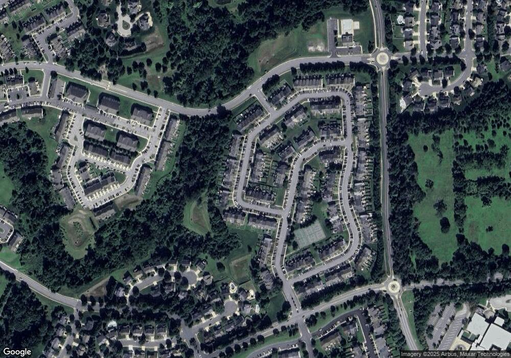
Map
Nearby Homes
- 525 Kirkcaldy Way
- 566 Kirkcaldy Way
- 301 Lothian Way Unit 104
- 460 Deer Hill Cir
- 2911 Islay Ct
- 2909 Islay Ct
- 455 Deer Hill Cir
- 2815 Lanarkshire Way
- 311 Tiree Ct Unit 401
- 419 Clydebank Dr
- 400 Teresa Marie Ct
- 2302 Arthurs Woods Dr
- 2300 Arthurs Woods Dr
- 725 Shallow Ridge Ct
- 301 Tall Pines Ct Unit A
- 311 Laurel Woods Dr
- 2306 Bells Tower Ct
- 2310 Bell's Tower Ct
- 2818 Singer Woods Dr
- 2338 Kateland Ct
- 518 Kirkcaldy Way
- 520 Kirkcaldy Way
- 522 Kirkcaldy Way
- 510 Kirkcaldy Way
- 512 Kirkcaldy Way
- 508 Kirkcaldy Way
- 514 Kirkcaldy Way
- 524 Kirkcaldy Way
- 506 Kirkcaldy Way
- 504 Kirkcaldy Way
- 526 Kirkcaldy Way
- 502 Kirkcaldy Way
- 1942 Glenroths Dr
- 1940 Glenroths Dr
- 1938 Glenroths Dr
- 528 Kirkcaldy Way
- 1936 Glenroths Dr
- 500 Kirkcaldy Way
- 1934 Glenroths Dr
- 530 Kirkcaldy Way
Your Personal Tour Guide
Ask me questions while you tour the home.