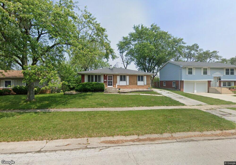
516 Landau Rd University Park, IL 60484
Estimated Value: $148,363 - $204,000
--
Bed
1
Bath
1,264
Sq Ft
$146/Sq Ft
Est. Value
About This Home
This home is located at 516 Landau Rd, University Park, IL 60484 and is currently estimated at $184,591, approximately $146 per square foot. 516 Landau Rd is a home located in Will County with nearby schools including Balmoral Elementary School, Crete-Monee Middle School, and Crete-Monee High School.
Ownership History
Date
Name
Owned For
Owner Type
Purchase Details
Closed on
May 13, 2004
Sold by
Reynolds Elbert
Bought by
Reynolds Elbert and Reynolds Gayle
Current Estimated Value
Purchase Details
Closed on
Dec 10, 2003
Sold by
Reynolds Elbert and Reynolds Gayle
Bought by
Reynolds Elbert
Home Financials for this Owner
Home Financials are based on the most recent Mortgage that was taken out on this home.
Original Mortgage
$78,400
Interest Rate
5.94%
Mortgage Type
New Conventional
Create a Home Valuation Report for This Property
The Home Valuation Report is an in-depth analysis detailing your home's value as well as a comparison with similar homes in the area
Home Values in the Area
Average Home Value in this Area
Purchase History
| Date | Buyer | Sale Price | Title Company |
|---|---|---|---|
| Reynolds Elbert | -- | -- | |
| Reynolds Elbert | -- | -- |
Source: Public Records
Mortgage History
| Date | Status | Borrower | Loan Amount |
|---|---|---|---|
| Closed | Reynolds Elbert | $78,400 |
Source: Public Records
Tax History Compared to Growth
Tax History
| Year | Tax Paid | Tax Assessment Tax Assessment Total Assessment is a certain percentage of the fair market value that is determined by local assessors to be the total taxable value of land and additions on the property. | Land | Improvement |
|---|---|---|---|---|
| 2024 | $4,107 | $48,724 | $8,480 | $40,244 |
| 2023 | $4,107 | $42,003 | $7,310 | $34,693 |
| 2022 | $2,635 | $36,948 | $6,430 | $30,518 |
| 2021 | $2,757 | $33,657 | $5,906 | $27,751 |
| 2020 | $2,825 | $32,566 | $5,715 | $26,851 |
| 2019 | $4,035 | $30,883 | $5,420 | $25,463 |
| 2018 | $3,921 | $29,694 | $5,306 | $24,388 |
| 2017 | $3,787 | $28,389 | $5,190 | $23,199 |
| 2016 | $3,539 | $26,882 | $4,994 | $21,888 |
| 2015 | $3,040 | $24,549 | $4,552 | $19,997 |
| 2014 | $3,040 | $24,210 | $4,489 | $19,721 |
| 2013 | $3,040 | $25,350 | $4,700 | $20,650 |
Source: Public Records
Map
Nearby Homes
- 543 Regent Rd
- 903 Blackhawk Dr
- 815 Blackhawk Dr
- 807 Blackhawk Dr
- 735 Union Dr
- 523 Circle Dr
- 610 Sandra Dr
- 724 Union Dr
- 607 Sullivan Ln
- 537 Nathan Rd
- 608 Sullivan Ln
- 713 Circle Dr
- 505 Barbara Ct
- 655 Sullivan Ln
- 1039 Abbot Ln
- 1029 Samson Dr
- 1032 Samson Dr
- 662 Sullivan Ln
- 24625 S Western Ave
- 740 Mission St