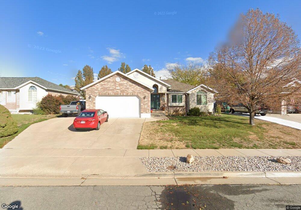
516 N 1100 E Layton, UT 84040
Estimated Value: $486,000 - $591,000
3
Beds
2
Baths
2,770
Sq Ft
$200/Sq Ft
Est. Value
About This Home
This home is located at 516 N 1100 E, Layton, UT 84040 and is currently estimated at $553,156, approximately $199 per square foot. 516 N 1100 E is a home located in Davis County with nearby schools including King Elementary School, Central Davis Junior High School, and Layton High School.
Ownership History
Date
Name
Owned For
Owner Type
Purchase Details
Closed on
Jun 23, 2014
Sold by
Hope Robin J and Hope Ricky C
Bought by
The Ricky C Hope And Robin J Hope Living and Hope Robin J
Current Estimated Value
Purchase Details
Closed on
Aug 28, 2002
Sold by
Mccrory Donald G and Mccrory Becky A
Bought by
Hope Robin J and Hope Ricky C
Home Financials for this Owner
Home Financials are based on the most recent Mortgage that was taken out on this home.
Original Mortgage
$182,895
Outstanding Balance
$76,727
Interest Rate
6.43%
Mortgage Type
VA
Estimated Equity
$476,429
Purchase Details
Closed on
Dec 27, 1996
Sold by
Ed Green Construction Inc
Bought by
Mccrory Donald G and Mccrory Becky A
Purchase Details
Closed on
Jul 29, 1996
Sold by
Ed Green Construction Inc and Green L Dale
Bought by
Ed Green Construction Inc
Create a Home Valuation Report for This Property
The Home Valuation Report is an in-depth analysis detailing your home's value as well as a comparison with similar homes in the area
Home Values in the Area
Average Home Value in this Area
Purchase History
| Date | Buyer | Sale Price | Title Company |
|---|---|---|---|
| The Ricky C Hope And Robin J Hope Living | -- | None Available | |
| Hope Robin J | -- | Associated Title Ins Agency | |
| Mccrory Donald G | -- | Security Title Company | |
| Ed Green Construction Inc | -- | Security Title Company |
Source: Public Records
Mortgage History
| Date | Status | Borrower | Loan Amount |
|---|---|---|---|
| Open | Hope Robin J | $182,895 |
Source: Public Records
Tax History
| Year | Tax Paid | Tax Assessment Tax Assessment Total Assessment is a certain percentage of the fair market value that is determined by local assessors to be the total taxable value of land and additions on the property. | Land | Improvement |
|---|---|---|---|---|
| 2025 | -- | $284,900 | $115,816 | $169,084 |
| 2024 | -- | $274,450 | $141,073 | $133,377 |
| 2023 | $284 | $496,000 | $193,521 | $302,479 |
| 2022 | $284 | $284,350 | $103,511 | $180,839 |
| 2021 | $0 | $359,000 | $157,067 | $201,933 |
| 2020 | $50 | $314,000 | $125,339 | $188,661 |
| 2019 | $50 | $298,000 | $112,361 | $185,639 |
| 2018 | $0 | $276,000 | $86,057 | $189,943 |
| 2016 | $2,059 | $151,250 | $45,588 | $105,662 |
| 2015 | $1,906 | $132,935 | $45,588 | $87,347 |
| 2014 | $1,803 | $128,529 | $45,588 | $82,941 |
| 2013 | $1,773 | $119,680 | $22,959 | $96,721 |
Source: Public Records
Map
Nearby Homes
- 479 N 1375 E
- 508 N Adamswood Rd
- 1503 E 530 N
- 556 N Fairfield Rd Unit A2
- 556 N Fairfield Rd Unit D1
- 556 N Fairfield Rd Unit D2
- 556 N Fairfield Rd Unit A3
- 556 N Fairfield Rd Unit D3
- 556 N Fairfield Rd Unit D4
- 556 N Fairfield Rd Unit A1
- 556 N Fairfield Rd Unit A4
- 861 E 575 N
- 187 N Talbot Dr
- 1515 E Gentile St
- 1033 E 825 N
- 997 E 825 N
- 1690 E Gentile St
- 109 Beacon Ave
- 9 Colonial Ave
- 1545 E 975 N
- 530 N 1100 E
- 504 N 1100 E
- 503 N Franklin Rd
- 491 N 1150 E
- 491 N Franklin Rd
- 525 N Franklin Rd
- 544 N 1100 E
- 511 N 1100 E
- 1102 E 500 N
- 1102 E 500 N Unit 7
- 523 N 1100 E
- 475 N Franklin Rd
- 1082 E 500 N
- 537 N Franklin Rd
- 539 N 1100 E
- 558 N 1100 E
- 510 N 1050 E
- 520 N Franklin Rd
- 551 N 1100 E
- 1190 Allanwood Rd
Your Personal Tour Guide
Ask me questions while you tour the home.