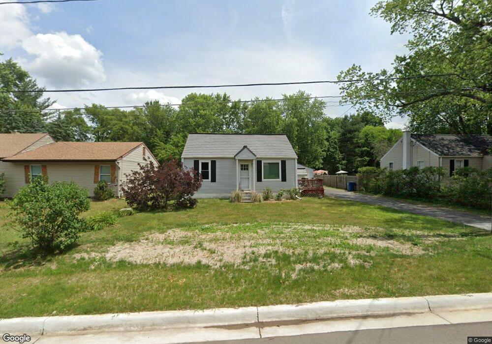
516 Park St Wayland, MI 49348
Estimated Value: $216,471 - $238,000
2
Beds
1
Bath
672
Sq Ft
$335/Sq Ft
Est. Value
About This Home
This home is located at 516 Park St, Wayland, MI 49348 and is currently estimated at $225,368, approximately $335 per square foot. 516 Park St is a home located in Allegan County with nearby schools including Wayland High School and St. Therese Catholic School.
Ownership History
Date
Name
Owned For
Owner Type
Purchase Details
Closed on
Aug 18, 2004
Sold by
Runkel Jason and Runkel Karry
Bought by
Leach Dale
Current Estimated Value
Home Financials for this Owner
Home Financials are based on the most recent Mortgage that was taken out on this home.
Original Mortgage
$99,750
Interest Rate
6.08%
Mortgage Type
Purchase Money Mortgage
Purchase Details
Closed on
Jun 5, 2000
Sold by
Lutz Shawn D and Angela
Bought by
Runkel Jason and Runkel Karry
Purchase Details
Closed on
Apr 4, 1997
Sold by
Larsen Douglas W
Bought by
Lutz Shawn D and Tenbrink Angela
Purchase Details
Closed on
Sep 27, 1990
Sold by
Smith Donald and Smith Nancy
Bought by
Ferris Jeffery E
Purchase Details
Closed on
May 1, 1990
Sold by
Hastidt Arlene
Bought by
Smith Donald B and Smith Nancy E
Create a Home Valuation Report for This Property
The Home Valuation Report is an in-depth analysis detailing your home's value as well as a comparison with similar homes in the area
Home Values in the Area
Average Home Value in this Area
Purchase History
| Date | Buyer | Sale Price | Title Company |
|---|---|---|---|
| Leach Dale | $105,000 | -- | |
| Runkel Jason | $81,000 | -- | |
| Lutz Shawn D | $71,000 | -- | |
| Ferris Jeffery E | $47,000 | -- | |
| Smith Donald B | $17,500 | -- |
Source: Public Records
Mortgage History
| Date | Status | Borrower | Loan Amount |
|---|---|---|---|
| Closed | Leach Dale | $99,750 |
Source: Public Records
Tax History Compared to Growth
Tax History
| Year | Tax Paid | Tax Assessment Tax Assessment Total Assessment is a certain percentage of the fair market value that is determined by local assessors to be the total taxable value of land and additions on the property. | Land | Improvement |
|---|---|---|---|---|
| 2025 | $2,106 | $83,700 | $14,400 | $69,300 |
| 2024 | $1,915 | $75,600 | $11,600 | $64,000 |
| 2023 | $1,915 | $75,600 | $12,200 | $63,400 |
| 2022 | $1,915 | $68,400 | $12,200 | $56,200 |
| 2021 | $1,791 | $63,000 | $11,800 | $51,200 |
| 2020 | $1,791 | $60,600 | $11,800 | $48,800 |
| 2019 | $0 | $58,300 | $11,200 | $47,100 |
| 2018 | $0 | $55,000 | $11,200 | $43,800 |
| 2017 | $0 | $55,600 | $11,200 | $44,400 |
| 2016 | $0 | $43,900 | $7,400 | $36,500 |
| 2015 | -- | $43,900 | $7,400 | $36,500 |
| 2014 | -- | $39,100 | $7,400 | $31,700 |
| 2013 | -- | $36,200 | $7,400 | $28,800 |
Source: Public Records
Map
Nearby Homes
- 3610 Garden St
- 545 N Main St
- 3770 Division Ave S
- 3570 Windsor Woods Dr
- 212 E Superior St
- 1143 Regina Trail
- 3685 Calkins Ct
- 219 Alpine St
- 319 Alpine St
- 146 Hanlon Ct
- 110 E Sycamore St
- 621 S Main St
- 4674 12th St
- 401 Anderson Dr
- 330 Lotz Ct
- 835 Wild Flower Ct
- 3282 Stonehill Ct
- 3296 Stonehill Ct
- 3897 Division St
- 3905 Sunset View