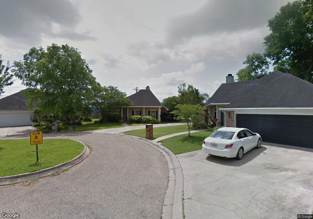
516 Pear Tree Cir Broussard, LA 70518
Estimated Value: $219,000 - $228,914
--
Bed
--
Bath
1,430
Sq Ft
$157/Sq Ft
Est. Value
About This Home
This home is located at 516 Pear Tree Cir, Broussard, LA 70518 and is currently estimated at $224,229, approximately $156 per square foot. 516 Pear Tree Cir is a home located in Lafayette Parish with nearby schools including Katharine Drexel Elementary School, Martial Billeaud Elementary School, and Broussard Middle School.
Ownership History
Date
Name
Owned For
Owner Type
Purchase Details
Closed on
Jan 10, 2014
Sold by
Cousins Thomas Barrett and Deslatte Heidi Jane
Bought by
Navarre Jeremy Todd and Boudreaux Cherie Mary
Current Estimated Value
Home Financials for this Owner
Home Financials are based on the most recent Mortgage that was taken out on this home.
Original Mortgage
$142,650
Outstanding Balance
$107,486
Interest Rate
4.34%
Mortgage Type
Unknown
Estimated Equity
$116,743
Purchase Details
Closed on
May 3, 2007
Sold by
State Of Louisiana
Bought by
Mississippi Land Company Inc
Purchase Details
Closed on
Oct 26, 2005
Sold by
Stansbury Taylor Shawn Michael and Stansbury Taylor Melissa
Bought by
Cousins Thomas Barrett and Deslatte Heidi Jane
Create a Home Valuation Report for This Property
The Home Valuation Report is an in-depth analysis detailing your home's value as well as a comparison with similar homes in the area
Home Values in the Area
Average Home Value in this Area
Purchase History
| Date | Buyer | Sale Price | Title Company |
|---|---|---|---|
| Navarre Jeremy Todd | $158,500 | None Available | |
| Mississippi Land Company Inc | -- | None Available | |
| Cousins Thomas Barrett | $149,900 | None Available |
Source: Public Records
Mortgage History
| Date | Status | Borrower | Loan Amount |
|---|---|---|---|
| Open | Navarre Jeremy Todd | $142,650 |
Source: Public Records
Tax History Compared to Growth
Tax History
| Year | Tax Paid | Tax Assessment Tax Assessment Total Assessment is a certain percentage of the fair market value that is determined by local assessors to be the total taxable value of land and additions on the property. | Land | Improvement |
|---|---|---|---|---|
| 2024 | $1,067 | $19,815 | $2,000 | $17,815 |
| 2023 | $1,067 | $16,240 | $2,000 | $14,240 |
| 2022 | $1,311 | $15,165 | $2,000 | $13,165 |
| 2021 | $1,316 | $15,165 | $2,000 | $13,165 |
| 2020 | $1,315 | $15,165 | $2,000 | $13,165 |
| 2019 | $632 | $15,165 | $2,000 | $13,165 |
| 2018 | $646 | $15,165 | $2,000 | $13,165 |
| 2017 | $645 | $15,165 | $2,000 | $13,165 |
| 2015 | $643 | $15,165 | $2,000 | $13,165 |
| 2013 | -- | $14,510 | $2,000 | $12,510 |
Source: Public Records
Map
Nearby Homes
- 104 Bismark Dr
- 108 Portsmouth Dr
- 100 N Eola Rd
- 102 Riesling Cir
- Cali Plan at Oakmont
- Denton Plan at Oakmont
- Justin Plan at Oakmont
- Kingston Plan at Oakmont
- Rosemont Plan at Oakmont
- Huntsville Plan at Oakmont
- Lakeview Plan at Oakmont
- Fargo Plan at Oakmont
- Bellvue Plan at Oakmont
- 1036 Garber Rd
- 101 Snapping Ln
- 104 Tortoise Ln
- 111 Tortoise Ln
- 103 Chattanooga Place
- 107 Snapping Ln
- 116 Cypress Ridge Rd
- 518 Pear Tree Cir
- 514 Pear Tree Cir
- 512 Pear Tree Cir
- 600 Pear Tree Cir
- 102 Berrybrook Ave
- 100 Berrybrook Ave
- 104 Berrybrook Ave
- 602 Pear Tree Cir
- 510 Pear Tree Cir
- 511 Pear Tree Cir
- 106 Berrybrook Ave
- 101 Berrybrook Ave
- 509 Pear Tree Cir
- 103 Berrybrook Ave
- 604 Pear Tree Cir
- 508 Pear Tree Cir
- 105 Berrybrook Ave
- 103 Rolls Royce Dr
- 507 Pear Tree Cir
- 101 Weeping Willow Blvd