516 Pear Tree Point Rd Chestertown, MD 21620
Estimated Value: $944,000 - $2,098,000
--
Bed
5
Baths
5,268
Sq Ft
$282/Sq Ft
Est. Value
About This Home
This home is located at 516 Pear Tree Point Rd, Chestertown, MD 21620 and is currently estimated at $1,485,105, approximately $281 per square foot. 516 Pear Tree Point Rd is a home located in Queen Anne's County with nearby schools including Church Hill Elementary School, Sudlersville Middle School, and Queen Anne's County High School.
Ownership History
Date
Name
Owned For
Owner Type
Purchase Details
Closed on
Oct 19, 2000
Sold by
P Patrick Mcclary Real Estate Inc
Bought by
Shanahan Patrick J and Shanahan Theresa A
Current Estimated Value
Purchase Details
Closed on
May 31, 2000
Sold by
Stabler Patricia M Etal
Bought by
P Patrick Mcclary Real Estate Inc
Create a Home Valuation Report for This Property
The Home Valuation Report is an in-depth analysis detailing your home's value as well as a comparison with similar homes in the area
Home Values in the Area
Average Home Value in this Area
Purchase History
| Date | Buyer | Sale Price | Title Company |
|---|---|---|---|
| Shanahan Patrick J | $220,500 | -- | |
| P Patrick Mcclary Real Estate Inc | $147,000 | -- |
Source: Public Records
Mortgage History
| Date | Status | Borrower | Loan Amount |
|---|---|---|---|
| Closed | Shanahan Patrick J | -- |
Source: Public Records
Tax History Compared to Growth
Tax History
| Year | Tax Paid | Tax Assessment Tax Assessment Total Assessment is a certain percentage of the fair market value that is determined by local assessors to be the total taxable value of land and additions on the property. | Land | Improvement |
|---|---|---|---|---|
| 2025 | $10,619 | $1,202,500 | $395,000 | $807,500 |
| 2024 | $10,090 | $1,121,267 | $0 | $0 |
| 2023 | $9,581 | $1,040,033 | $0 | $0 |
| 2022 | $9,092 | $958,800 | $315,000 | $643,800 |
| 2021 | $9,256 | $958,800 | $315,000 | $643,800 |
| 2020 | $9,256 | $958,800 | $315,000 | $643,800 |
| 2019 | $9,868 | $1,022,600 | $356,100 | $666,500 |
| 2018 | $9,593 | $993,967 | $0 | $0 |
| 2017 | $9,319 | $965,333 | $0 | $0 |
| 2016 | -- | $936,700 | $0 | $0 |
| 2015 | $5,726 | $936,700 | $0 | $0 |
| 2014 | $5,726 | $936,700 | $0 | $0 |
Source: Public Records
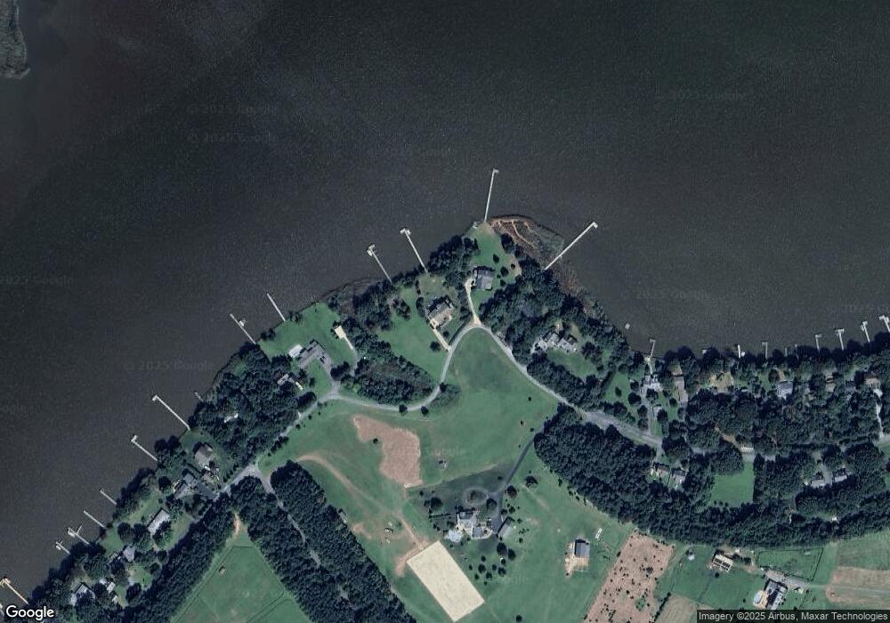
Map
Nearby Homes
- 492 Pear Tree Point Rd
- 26933 Mallard Rd
- 109 Wilton Rd
- 222 Dutchess Rd
- 213 Central Dr
- 101 Birch Run Rd
- 204 Rolling Rd
- 0 East St
- 411 Greenwood Ave
- 303 E Campus Ave
- 108 Flying Cloud Dr
- 206 Valley Rd
- 0 Elm St Unit MDKE2003590
- 304 Hadaway Dr
- 112 Silver Heel Dr
- 3 Haacke Dr
- 112 Metcalf Rd
- 109 Metcalfe Rd
- 103 Metcalf Rd
- 100 Metcalf Rd
- 510 Pear Tree Point Rd
- 498 Pear Tree Point Rd
- 542 Pear Tree Point Rd
- 115 Royston Shores Ct
- 484 Pear Tree Point Rd
- 111 Royston Shores Ct
- LOT #18 Pear Tree Point Rd
- 495 Pear Tree Point Rd
- LOT #17 Pear Tree Point Rd
- 472 Pear Tree Point Rd
- 101 Royston Shores Ct
- 468 Pear Tree Point Rd
- 469 Pear Tree Point Rd
- 102 Royston Shores Rd
- 464 Pear Tree Point Rd
- 465 Pear Tree Point Rd
- 108 Royston Shores Rd
- 456 Pear Tree Point Rd
- 452 Pear Tree Point Rd
- 457 Pear Tree Point Rd