Estimated Value: $162,000 - $169,000
1
Bed
1
Bath
896
Sq Ft
$185/Sq Ft
Est. Value
About This Home
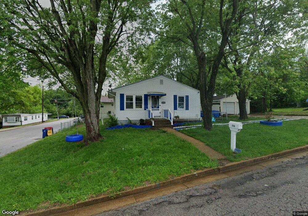
This home is located at 516 Robin St, Union, MO 63084 and is currently estimated at $166,078, approximately $185 per square foot. 516 Robin St is a home located in Franklin County with nearby schools including Union High School and Immaculate Conception School.
Ownership History
Date
Name
Owned For
Owner Type
Purchase Details
Closed on
Jun 29, 2023
Sold by
Kent Candace F and Vongladeth Mavin O
Bought by
Kent Candace F
Current Estimated Value
Purchase Details
Closed on
Jan 19, 2022
Sold by
Kent Candace F
Bought by
Kent Candace F and Vongladeth Mavin
Purchase Details
Closed on
Jun 15, 2010
Sold by
Brennan Christopher M and Brennan Melissa N
Bought by
Mcmahan Candace F
Home Financials for this Owner
Home Financials are based on the most recent Mortgage that was taken out on this home.
Original Mortgage
$98,325
Interest Rate
4.93%
Mortgage Type
New Conventional
Purchase Details
Closed on
Sep 16, 2005
Sold by
Steagall Lucille
Bought by
Brennan Christopher M and Hinson Melissa N
Home Financials for this Owner
Home Financials are based on the most recent Mortgage that was taken out on this home.
Original Mortgage
$92,000
Interest Rate
5.37%
Mortgage Type
USDA
Create a Home Valuation Report for This Property
The Home Valuation Report is an in-depth analysis detailing your home's value as well as a comparison with similar homes in the area
Home Values in the Area
Average Home Value in this Area
Purchase History
| Date | Buyer | Sale Price | Title Company |
|---|---|---|---|
| Kent Candace F | -- | None Listed On Document | |
| Kent Candace F | -- | None Listed On Document | |
| Mcmahan Candace F | $95,000 | None Available | |
| Brennan Christopher M | -- | None Available |
Source: Public Records
Mortgage History
| Date | Status | Borrower | Loan Amount |
|---|---|---|---|
| Previous Owner | Mcmahan Candace F | $98,325 | |
| Previous Owner | Brennan Christopher M | $92,000 |
Source: Public Records
Tax History
| Year | Tax Paid | Tax Assessment Tax Assessment Total Assessment is a certain percentage of the fair market value that is determined by local assessors to be the total taxable value of land and additions on the property. | Land | Improvement |
|---|---|---|---|---|
| 2025 | $1,230 | $20,625 | $0 | $0 |
| 2024 | $1,230 | $19,422 | $0 | $0 |
| 2023 | $1,170 | $19,422 | $0 | $0 |
| 2022 | $1,029 | $17,038 | $0 | $0 |
| 2021 | $2,636 | $17,038 | $0 | $0 |
| 2020 | $955 | $15,531 | $0 | $0 |
| 2019 | $953 | $15,531 | $0 | $0 |
| 2018 | $889 | $15,206 | $0 | $0 |
| 2017 | $891 | $15,206 | $0 | $0 |
| 2016 | $883 | $14,735 | $0 | $0 |
| 2015 | $869 | $14,735 | $0 | $0 |
| 2014 | $887 | $15,028 | $0 | $0 |
Source: Public Records
Map
Nearby Homes
- 910 N Church St
- 1157 Rock Rd
- 207 E Park Ave
- 105 E Roosevelt Ave
- 1008 N Washington Ave
- N Highway 47 E State Highway 47
- 1122 Old County Farm Rd
- 435 Eve Estates Dr
- 614 E State St
- 724 E State St
- Lot 2 E State Highway 47
- Lot 1 E State Highway 47
- 300 Bourbeuse Rd
- 413 W State St
- 0 Highway V
- 613 W State St
- 000 Mo-V
- 725 W Main St
- 605 S Jefferson Ave
- 914 W State St
Your Personal Tour Guide
Ask me questions while you tour the home.