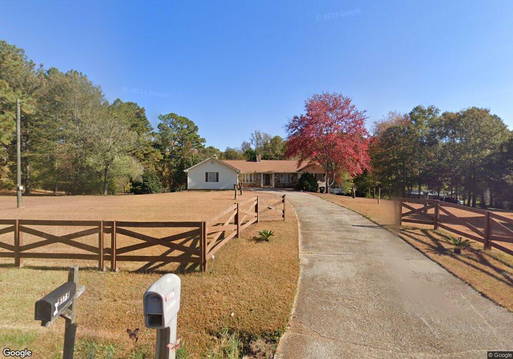
5160 Wendwood Rd SW Unit 6 Conyers, GA 30094
Estimated Value: $334,451 - $459,000
3
Beds
4
Baths
3,051
Sq Ft
$126/Sq Ft
Est. Value
About This Home
This home is located at 5160 Wendwood Rd SW Unit 6, Conyers, GA 30094 and is currently estimated at $385,363, approximately $126 per square foot. 5160 Wendwood Rd SW Unit 6 is a home located in Rockdale County with nearby schools including Lorraine Elementary School, Gen. Ray Davis Middle School, and Salem High School.
Ownership History
Date
Name
Owned For
Owner Type
Purchase Details
Closed on
Nov 22, 2013
Sold by
Burgess Jerry W
Bought by
Kemp Michael Bernard
Current Estimated Value
Home Financials for this Owner
Home Financials are based on the most recent Mortgage that was taken out on this home.
Original Mortgage
$162,011
Outstanding Balance
$120,915
Interest Rate
4.25%
Mortgage Type
FHA
Estimated Equity
$264,448
Create a Home Valuation Report for This Property
The Home Valuation Report is an in-depth analysis detailing your home's value as well as a comparison with similar homes in the area
Home Values in the Area
Average Home Value in this Area
Purchase History
| Date | Buyer | Sale Price | Title Company |
|---|---|---|---|
| Kemp Michael Bernard | $165,000 | -- |
Source: Public Records
Mortgage History
| Date | Status | Borrower | Loan Amount |
|---|---|---|---|
| Open | Kemp Michael Bernard | $162,011 |
Source: Public Records
Tax History Compared to Growth
Tax History
| Year | Tax Paid | Tax Assessment Tax Assessment Total Assessment is a certain percentage of the fair market value that is determined by local assessors to be the total taxable value of land and additions on the property. | Land | Improvement |
|---|---|---|---|---|
| 2024 | $3,537 | $143,800 | $28,960 | $114,840 |
| 2023 | $3,265 | $137,720 | $27,600 | $110,120 |
| 2022 | $2,647 | $113,680 | $23,000 | $90,680 |
| 2021 | $2,245 | $92,280 | $17,200 | $75,080 |
| 2020 | $2,268 | $90,600 | $14,920 | $75,680 |
| 2019 | $2,137 | $84,480 | $12,280 | $72,200 |
| 2018 | $1,752 | $71,600 | $10,560 | $61,040 |
| 2017 | $1,605 | $66,160 | $10,800 | $55,360 |
| 2016 | $1,481 | $66,160 | $10,800 | $55,360 |
| 2015 | $1,414 | $63,720 | $8,360 | $55,360 |
| 2014 | $1,263 | $63,720 | $8,360 | $55,360 |
| 2013 | -- | $64,560 | $19,000 | $45,560 |
Source: Public Records
Map
Nearby Homes
- 5170 Paul Cir SW
- 5190 Paul Cir SW
- 1459 Highway 212 SW
- 4980 W Lake Dr SE
- 1590 Colonial South Dr SW
- 4970 Hull Rd SE
- 4731 Shadybrook Way SE Unit 2
- 4931 W Lake Dr SE
- 5162 Kurt Ln SW
- 1433 Cotton Trail SW
- 1709 Elizabeth Ct SW
- 5515 Deer Run Dr SW
- 2178 NE Hillwood Dr
- 1721 Windsong Dr SW
- 307 Winding Stream Trail SW
- 1740 Elizabeth Ct SW
- 634 Knollwood Cir SE
- 4811 W Lake Dr SE
- 4938 Lake Forest Dr SE
- 339 Buckingham Dr SW
- 5160 Wendwood Rd SW
- 5190 Wendwood Rd SW Unit 7
- 5190 Wendwood Rd SW
- 5130 Wendwood Rd SW
- 5175 Wendwood Rd SW
- 5200 Wendwood Rd SW
- 5150 Paul Cir SW
- 5210 Wendwood Rd SW
- 0 Wendwood Rd SW Unit 7496278
- 0 Wendwood Rd SW Unit 10425101
- 0 Wendwood Rd SW Unit 8678853
- 0 Wendwood Rd SW Unit 8178998
- 0 Wendwood Rd SW Unit 9013469
- 0 Wendwood Rd SW Unit 8735226
- 0 Wendwood Rd SW Unit 7275146
- 0 Wendwood Rd SW Unit 7574213
- 0 Wendwood Rd SW Unit 8053470
- 0 Wendwood Rd SW Unit 8121383
- 0 Wendwood Rd SW
- 5135 Wendwood Rd SW