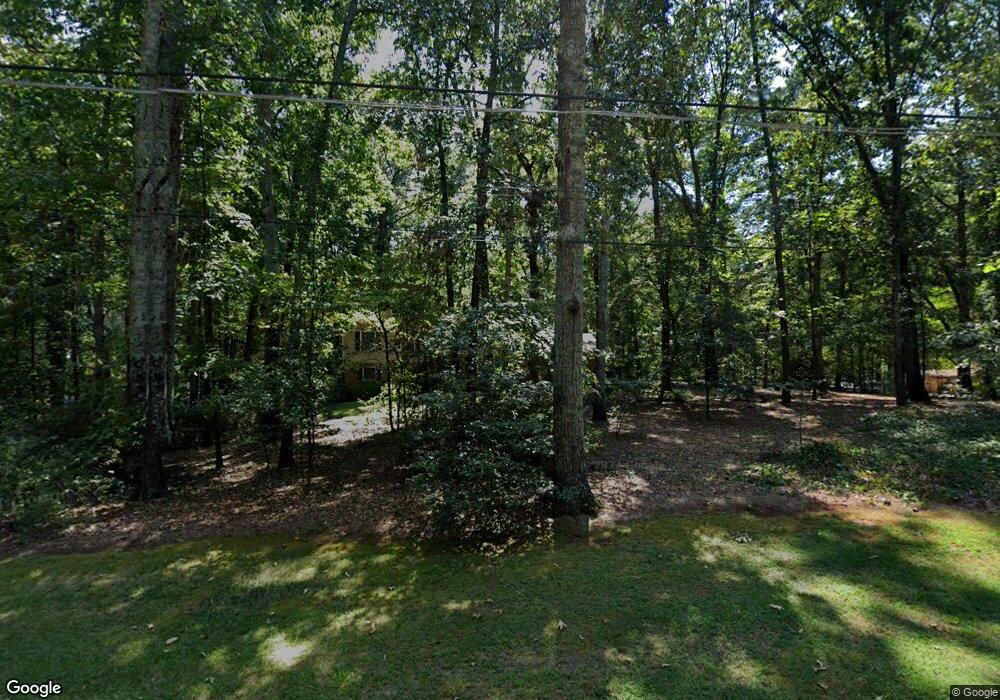
5161 Blunschi Dr Powder Springs, GA 30127
Estimated Value: $275,000 - $317,642
4
Beds
2
Baths
1,255
Sq Ft
$237/Sq Ft
Est. Value
About This Home
This home is located at 5161 Blunschi Dr, Powder Springs, GA 30127 and is currently estimated at $297,161, approximately $236 per square foot. 5161 Blunschi Dr is a home located in Cobb County with nearby schools including Powder Springs Elementary School, Cooper Middle School, and McEachern High School.
Ownership History
Date
Name
Owned For
Owner Type
Purchase Details
Closed on
Oct 17, 2024
Sold by
Morris John Mark and Morris James Edward
Bought by
Morris Shelby Jean
Current Estimated Value
Purchase Details
Closed on
Apr 22, 2024
Sold by
Morris Shelby N
Bought by
Morris Shelby N and Morris John Mark
Purchase Details
Closed on
Jan 25, 2021
Sold by
Morris Shelby N and Morris James Avon
Bought by
Morris Shelby N
Create a Home Valuation Report for This Property
The Home Valuation Report is an in-depth analysis detailing your home's value as well as a comparison with similar homes in the area
Home Values in the Area
Average Home Value in this Area
Purchase History
| Date | Buyer | Sale Price | Title Company |
|---|---|---|---|
| Morris Shelby Jean | -- | None Listed On Document | |
| Morris Shelby N | -- | None Listed On Document | |
| Morris Shelby N | -- | None Available |
Source: Public Records
Tax History Compared to Growth
Tax History
| Year | Tax Paid | Tax Assessment Tax Assessment Total Assessment is a certain percentage of the fair market value that is determined by local assessors to be the total taxable value of land and additions on the property. | Land | Improvement |
|---|---|---|---|---|
| 2024 | $459 | $77,976 | $18,000 | $59,976 |
| 2023 | $253 | $77,976 | $18,000 | $59,976 |
| 2022 | $459 | $77,976 | $18,000 | $59,976 |
| 2021 | $410 | $61,636 | $14,000 | $47,636 |
| 2020 | $410 | $61,636 | $14,000 | $47,636 |
| 2019 | $410 | $61,636 | $14,000 | $47,636 |
| 2018 | $410 | $61,636 | $14,000 | $47,636 |
| 2017 | $299 | $38,280 | $10,000 | $28,280 |
| 2016 | $300 | $38,280 | $10,000 | $28,280 |
| 2015 | $320 | $38,280 | $10,000 | $28,280 |
| 2014 | $325 | $38,280 | $0 | $0 |
Source: Public Records
Map
Nearby Homes
- 4726 Brownsville Rd
- 0 Cherry Ln Unit 10590910
- 0 Cherry Ln Unit 7617854
- 4801 Brownsville Rd
- 4585 Muirwood Cir
- 4914 Howard Dr
- 5050 Brownwood Dr
- 4570 Meadows Rd
- 4760 Oglesby Rd
- 5670 Lanny Dr
- 4772 Lewis Rd
- 4350 Defoors Farm Trail
- 4758 Saddleridge Rd
- 5076 Furlong Way
- 5780 Hill Rd
- 4872 Lewis Rd
- 4555 Falls Ave
- 5455 Stirrup Way
- 5171 Blunschi Dr
- 5151 Blunschi Dr
- 5150 Blunschi Dr
- 5160 Blunschi Dr
- 5140 Blunschi Dr
- 5141 Blunschi Dr
- 5172 Blunschi Dr
- 5181 Blunschi Dr
- 5214 Blunschi Dr
- 5091 Blunschi Dr
- 4704 Brownsville Rd
- 5130 Blunschi Dr
- 5191 Blunschi Dr Unit 4
- 4706 Brownsville Rd
- 5220 Blunschi Dr Unit 5
- 5065 Blunschi Dr
- 4702 Brownsville Rd
- 5153 Cherry Ln
- 4730 Brownsville Rd
- 5119 Cherry Ln