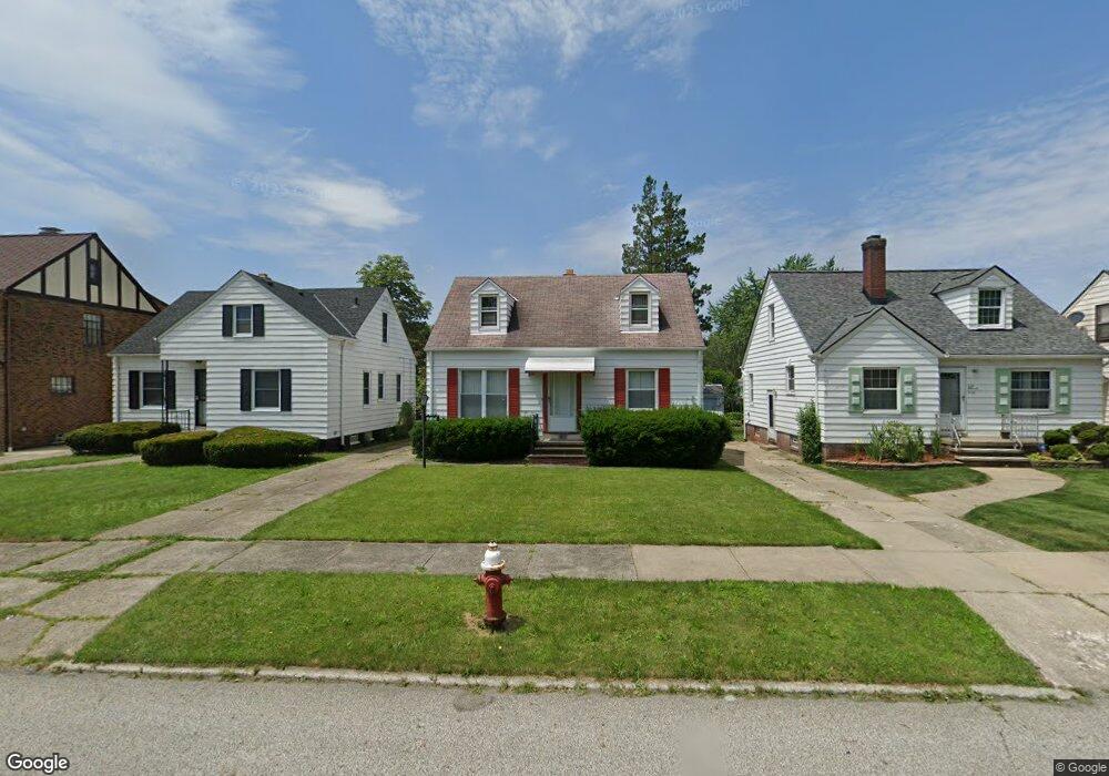
5162 Philip Ave Maple Heights, OH 44137
Estimated Value: $92,000 - $119,000
3
Beds
1
Bath
696
Sq Ft
$158/Sq Ft
Est. Value
About This Home
This home is located at 5162 Philip Ave, Maple Heights, OH 44137 and is currently estimated at $110,219, approximately $158 per square foot. 5162 Philip Ave is a home located in Cuyahoga County with nearby schools including Abraham Lincoln Elementary School, Rockside/ J.F. Kennedy School, and Barack Obama School.
Ownership History
Date
Name
Owned For
Owner Type
Purchase Details
Closed on
Dec 16, 2014
Sold by
Estate Of John J Oleksy Jr
Bought by
The Milseth Group
Current Estimated Value
Purchase Details
Closed on
Aug 26, 1993
Sold by
Olesky John J and Olesky Florence
Bought by
Oleksy John J
Purchase Details
Closed on
Jan 1, 1975
Bought by
Olesky John J and Olesky Florence
Create a Home Valuation Report for This Property
The Home Valuation Report is an in-depth analysis detailing your home's value as well as a comparison with similar homes in the area
Home Values in the Area
Average Home Value in this Area
Purchase History
| Date | Buyer | Sale Price | Title Company |
|---|---|---|---|
| The Milseth Group | $14,100 | Attorney | |
| Oleksy John J | -- | -- | |
| Olesky John J | -- | -- |
Source: Public Records
Tax History Compared to Growth
Tax History
| Year | Tax Paid | Tax Assessment Tax Assessment Total Assessment is a certain percentage of the fair market value that is determined by local assessors to be the total taxable value of land and additions on the property. | Land | Improvement |
|---|---|---|---|---|
| 2024 | $2,783 | $29,470 | $7,140 | $22,330 |
| 2023 | $2,664 | $17,570 | $4,340 | $13,230 |
| 2022 | $1,986 | $17,570 | $4,340 | $13,230 |
| 2021 | $2,114 | $17,570 | $4,340 | $13,230 |
| 2020 | $1,815 | $13,300 | $3,290 | $10,010 |
| 2019 | $1,691 | $38,000 | $9,400 | $28,600 |
| 2018 | $1,794 | $13,300 | $3,290 | $10,010 |
| 2017 | $1,769 | $12,780 | $3,010 | $9,770 |
| 2016 | $1,711 | $12,780 | $3,010 | $9,770 |
| 2015 | $2,191 | $12,780 | $3,010 | $9,770 |
| 2014 | $2,191 | $14,040 | $3,330 | $10,710 |
Source: Public Records
Map
Nearby Homes
- 5110 Philip Ave
- 5185 Clement Ave
- 5082 Philip Ave
- 5208 Clement Ave
- 5231 Philip Ave
- 5061 Philip Ave
- 5212 Catherine St
- 5257 Philip Ave
- 5199 Arch St
- 5031 Cato St
- 5239 Arch St
- 5320 Clement Ave
- 5210 Theodore St
- 5234 Erwin St
- 17204 Maple Heights Blvd
- 17916 North Blvd
- 17912 North Blvd
- 16712 Kollin Ave
- 5247 Henry St
- 5425 Grasmere Ave
- 5166 Philip Ave
- 5158 Philip Ave
- 5154 Philip Ave
- 5170 Philip Ave
- 5150 Philip Ave
- 5174 Philip Ave
- 5149 Catherine St
- 5145 Catherine St
- 5153 Catherine St
- 5178 Philip Ave
- 5146 Philip Ave
- 5141 Catherine St
- 5157 Catherine St
- 5163 Philip Ave
- 5167 Philip Ave
- 5137 Catherine St
- 5182 Philip Ave
- 5142 Philip Ave
- 5157 Philip Ave
- 5171 Philip Ave