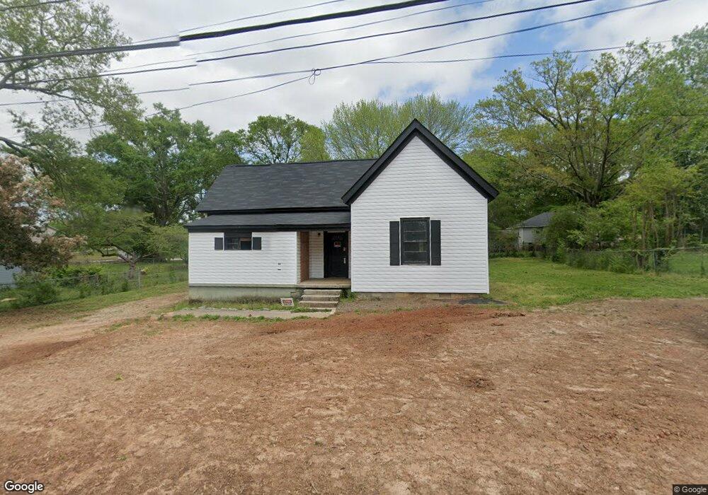
5162 Worsham St NE Covington, GA 30014
Estimated Value: $215,000 - $250,000
Studio
1
Bath
1,374
Sq Ft
$167/Sq Ft
Est. Value
About This Home
This home is located at 5162 Worsham St NE, Covington, GA 30014 and is currently estimated at $230,095, approximately $167 per square foot. 5162 Worsham St NE is a home located in Newton County with nearby schools including Flint Hill Elementary School, Cousins Middle School, and Eastside High School.
Ownership History
Date
Name
Owned For
Owner Type
Purchase Details
Closed on
Sep 18, 2020
Sold by
Dickson Diane C
Bought by
Dean Brian C
Current Estimated Value
Purchase Details
Closed on
Dec 20, 2001
Sold by
Thompson James M and Thompson Tammy J
Bought by
Dickson Douglas E and Dickson Diane C
Home Financials for this Owner
Home Financials are based on the most recent Mortgage that was taken out on this home.
Original Mortgage
$15,000
Interest Rate
6.6%
Mortgage Type
New Conventional
Purchase Details
Closed on
Dec 6, 2001
Sold by
Walton Thomas W and Walton Jean T
Bought by
Thompson James M and Thompson Tammy J
Home Financials for this Owner
Home Financials are based on the most recent Mortgage that was taken out on this home.
Original Mortgage
$15,000
Interest Rate
6.6%
Mortgage Type
New Conventional
Create a Home Valuation Report for This Property
The Home Valuation Report is an in-depth analysis detailing your home's value as well as a comparison with similar homes in the area
Home Values in the Area
Average Home Value in this Area
Purchase History
| Date | Buyer | Sale Price | Title Company |
|---|---|---|---|
| Dean Brian C | $50,000 | -- | |
| Dickson Douglas E | $49,000 | -- | |
| Thompson James M | $39,600 | -- |
Source: Public Records
Mortgage History
| Date | Status | Borrower | Loan Amount |
|---|---|---|---|
| Previous Owner | Thompson James M | $15,000 |
Source: Public Records
Tax History
| Year | Tax Paid | Tax Assessment Tax Assessment Total Assessment is a certain percentage of the fair market value that is determined by local assessors to be the total taxable value of land and additions on the property. | Land | Improvement |
|---|---|---|---|---|
| 2025 | $2,748 | $92,360 | $20,000 | $72,360 |
| 2024 | $2,481 | $82,160 | $14,000 | $68,160 |
| 2023 | $940 | $28,920 | $4,000 | $24,920 |
| 2022 | $837 | $25,760 | $4,000 | $21,760 |
| 2021 | $748 | $20,600 | $4,000 | $16,600 |
| 2020 | $785 | $19,680 | $4,000 | $15,680 |
| 2019 | $829 | $20,400 | $4,000 | $16,400 |
| 2018 | $579 | $14,080 | $4,000 | $10,080 |
| 2017 | $455 | $11,080 | $2,000 | $9,080 |
| 2016 | $473 | $11,520 | $2,800 | $8,720 |
| 2015 | $426 | $10,360 | $2,000 | $8,360 |
| 2014 | $362 | $10,360 | $0 | $0 |
Source: Public Records
Map
Nearby Homes
- 6102 Worsham St NE
- 6114 Hopkins St NE
- 6171 Collins St NE
- 4217 Elizabeth St NE
- 5130 N Dearing St NE
- 5211 Adams St
- 6127 Floyd St NE
- 5139 West Dr NE
- 4147 Elizabeth St NE
- 4128 Elizabeth St NE
- 6104 Floyd St NE
- 4117 N Dearing St NE
- 2173 Anderson Ave SE
- 5143 Floyd St NE
- 5173 Martin St SE
- 9202 Settlers Grove Rd NE
- 5118 Floyd St NE
- 9292 Settlers Grove Rd NE
- 3149 Thompson Ave SE
- 3160 Butler Ave SE
- 5152 Worsham St NE
- 6145 Blair St NE
- 6135 Blair St NE
- 5165 Worsham St NE
- 6159 Blair St NE
- 5157 Worsham St NE
- 6103 Worsham St NE
- 6112 Worsham St NE
- 5140 Worsham St NE
- 6121 Blair St NE
- 5145 Worsham St NE
- 6113 Worsham St NE
- 5156 Hackett St NE
- 5164 Hackett St NE
- 6110 Sorrell St NE
- 6109 Sorrell St NE
- 5174 Hackett St NE
- 5124 Worsham St NE
- 6105 Blair St NE
- 5129 Worsham St NE
Your Personal Tour Guide
Ask me questions while you tour the home.