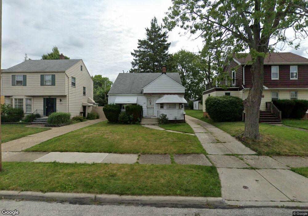
5163 Cato St Maple Heights, OH 44137
Estimated Value: $117,248 - $144,000
3
Beds
2
Baths
1,273
Sq Ft
$102/Sq Ft
Est. Value
About This Home
This home is located at 5163 Cato St, Maple Heights, OH 44137 and is currently estimated at $130,312, approximately $102 per square foot. 5163 Cato St is a home located in Cuyahoga County with nearby schools including Abraham Lincoln Elementary School, Rockside/ J.F. Kennedy School, and Barack Obama School.
Ownership History
Date
Name
Owned For
Owner Type
Purchase Details
Closed on
May 13, 2013
Sold by
Estate Of Elmer Mayo Thompson
Bought by
Thompson Darlene
Current Estimated Value
Purchase Details
Closed on
Oct 5, 1990
Sold by
Polacek Frank R
Bought by
Thompson Elmer M
Purchase Details
Closed on
Jan 6, 1989
Sold by
Polacek Frank R
Bought by
Polacek Frank R
Purchase Details
Closed on
Oct 27, 1988
Sold by
Polacek Nettie
Bought by
Polacek Frank R
Purchase Details
Closed on
Jan 1, 1975
Bought by
Polacek Nettie
Create a Home Valuation Report for This Property
The Home Valuation Report is an in-depth analysis detailing your home's value as well as a comparison with similar homes in the area
Home Values in the Area
Average Home Value in this Area
Purchase History
| Date | Buyer | Sale Price | Title Company |
|---|---|---|---|
| Thompson Darlene | -- | None Available | |
| Thompson Elmer M | $58,000 | -- | |
| Polacek Frank R | -- | -- | |
| Polacek Frank R | -- | -- | |
| Polacek Nettie | -- | -- |
Source: Public Records
Tax History Compared to Growth
Tax History
| Year | Tax Paid | Tax Assessment Tax Assessment Total Assessment is a certain percentage of the fair market value that is determined by local assessors to be the total taxable value of land and additions on the property. | Land | Improvement |
|---|---|---|---|---|
| 2024 | $1,967 | $31,185 | $7,280 | $23,905 |
| 2023 | $1,290 | $20,660 | $4,380 | $16,280 |
| 2022 | $1,324 | $20,650 | $4,380 | $16,280 |
| 2021 | $1,407 | $20,650 | $4,380 | $16,280 |
| 2020 | $985 | $15,650 | $3,330 | $12,320 |
| 2019 | $975 | $44,700 | $9,500 | $35,200 |
| 2018 | $967 | $15,650 | $3,330 | $12,320 |
| 2017 | $826 | $14,210 | $3,080 | $11,130 |
| 2016 | $795 | $14,210 | $3,080 | $11,130 |
| 2015 | $3,793 | $14,210 | $3,080 | $11,130 |
| 2014 | $3,793 | $15,620 | $3,400 | $12,220 |
Source: Public Records
Map
Nearby Homes
- 5199 Arch St
- 5239 Arch St
- 5231 Philip Ave
- 5110 Philip Ave
- 5234 Erwin St
- 5257 Philip Ave
- 5082 Philip Ave
- 5061 Philip Ave
- 5031 Cato St
- 5185 Clement Ave
- 5212 Catherine St
- 5208 Clement Ave
- 17916 North Blvd
- 17912 North Blvd
- 5320 Clement Ave
- 17806 Maple Heights Blvd
- 5265 Bellview St
- 17204 Maple Heights Blvd
- 5210 Theodore St
- 18909 Maple Heights Blvd