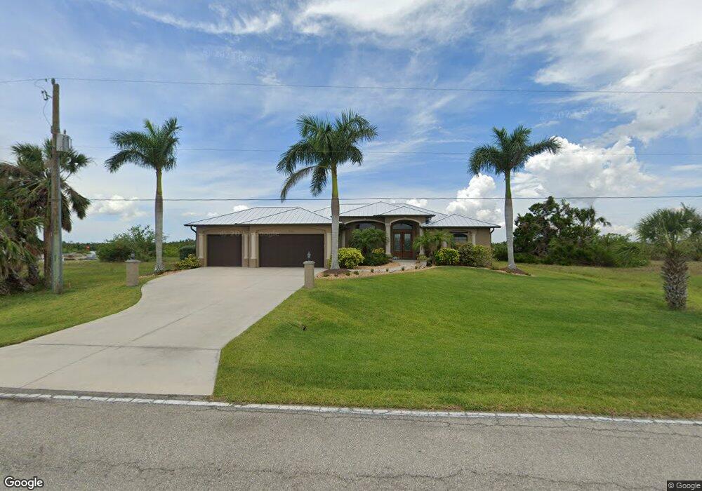
5163 Collingswood Blvd Port Charlotte, FL 33948
Estimated Value: $610,000 - $896,000
--
Bed
3
Baths
2,411
Sq Ft
$309/Sq Ft
Est. Value
About This Home
This home is located at 5163 Collingswood Blvd, Port Charlotte, FL 33948 and is currently estimated at $745,116, approximately $309 per square foot. 5163 Collingswood Blvd is a home located in Charlotte County with nearby schools including Meadow Park Elementary School, Murdock Middle School, and Port Charlotte High School.
Ownership History
Date
Name
Owned For
Owner Type
Purchase Details
Closed on
Nov 11, 2019
Sold by
Cohn David L
Bought by
Cohn David L and David L Cohn Revocable Trust
Current Estimated Value
Purchase Details
Closed on
Jul 17, 2006
Sold by
Ierardi Michelle
Bought by
Cohn David L
Purchase Details
Closed on
Jul 30, 2002
Sold by
Ierardi Roger and Ierardi Michelle
Bought by
Ierardi Michelle
Purchase Details
Closed on
Feb 13, 2001
Sold by
Rodriguez Luis V and Rodriguez Nereida A
Bought by
Ierardi Roger and Ierardi Michelle
Create a Home Valuation Report for This Property
The Home Valuation Report is an in-depth analysis detailing your home's value as well as a comparison with similar homes in the area
Home Values in the Area
Average Home Value in this Area
Purchase History
| Date | Buyer | Sale Price | Title Company |
|---|---|---|---|
| Cohn David L | -- | Accommodation | |
| Cohn David L | $304,000 | Chelsea Title Company | |
| Ierardi Michelle | -- | -- | |
| Ierardi Roger | $77,000 | -- |
Source: Public Records
Tax History Compared to Growth
Tax History
| Year | Tax Paid | Tax Assessment Tax Assessment Total Assessment is a certain percentage of the fair market value that is determined by local assessors to be the total taxable value of land and additions on the property. | Land | Improvement |
|---|---|---|---|---|
| 2023 | $5,229 | $322,725 | $0 | $0 |
| 2022 | $5,021 | $313,325 | $0 | $0 |
| 2021 | $5,033 | $304,199 | $0 | $0 |
| 2020 | $4,964 | $299,999 | $0 | $0 |
| 2019 | $4,845 | $293,254 | $0 | $0 |
| 2018 | $4,500 | $287,786 | $0 | $0 |
| 2017 | $4,468 | $281,867 | $0 | $0 |
| 2016 | $4,371 | $267,844 | $0 | $0 |
| 2015 | $4,389 | $265,982 | $0 | $0 |
| 2014 | $2,157 | $104,540 | $0 | $0 |
Source: Public Records
Map
Nearby Homes
- 5117 Collingswood Blvd
- 18219 Petoskey Cir
- 18091 Eau Gallie Cir
- 18106 Avonsdale Cir
- 18019 Avonsdale Cir
- 5035 Collingswood Blvd
- 18106 Petoskey Cir
- 18037 Ohara Dr
- 17509 Ohara Dr
- 18053 Ohara Dr
- 18382 Arapahoe Cir
- 18069 Ohara Dr
- 18020 Ohara Dr
- 18085 Ohara Dr
- 18093 Ohara Dr
- 18319 Arapahoe Cir
- 18294 Arapahoe Cir
- 18326 Van Nuys Cir
- 18076 Ohara Dr
- 18311 Van Nuys Cir
- 5171 Collingswood Blvd
- 5145 Collingswood Blvd
- 5179 Collingswood Blvd Unit 60
- 5179 Collingswood Blvd
- 5154 Collingswood Blvd
- 18242 Eau Gallie Cir
- 5135 Collingswood Blvd
- 5189 Collingswood Blvd
- 5142 Collingswood Blvd
- 5180 Collingswood Blvd
- 18018 Petoskey Cir
- 18234 Eau Gallie Cir
- 5127 Collingswood Blvd
- 5199 Collingswood Blvd
- 5196 Collingswood Blvd
- 18243 Eau Gallie Cir
- 18226 Eau Gallie Cir
- 18027 Petoskey Cir
- 18235 Petoskey Cir
- 5120 Collingswood Blvd