51640 Moore Ridge Rd Jerusalem, OH 43747
Estimated Value: $144,610 - $171,000
Studio
2
Baths
1,332
Sq Ft
$115/Sq Ft
Est. Value
About This Home
This home is located at 51640 Moore Ridge Rd, Jerusalem, OH 43747 and is currently estimated at $152,653, approximately $114 per square foot. 51640 Moore Ridge Rd is a home located in Monroe County with nearby schools including Beallsville Elementary School and Beallsville High School.
Ownership History
Date
Name
Owned For
Owner Type
Purchase Details
Closed on
Aug 10, 2016
Bought by
Carson Harold Mccurdy
Current Estimated Value
Home Financials for this Owner
Home Financials are based on the most recent Mortgage that was taken out on this home.
Interest Rate
3.43%
Purchase Details
Closed on
Aug 26, 1997
Bought by
Yontz Raphael and Yontz Rita
Purchase Details
Closed on
Nov 10, 1992
Bought by
Yontz Raphael and Yontz Rita
Create a Home Valuation Report for This Property
The Home Valuation Report is an in-depth analysis detailing your home's value as well as a comparison with similar homes in the area
Purchase History
| Date | Buyer | Sale Price | Title Company |
|---|---|---|---|
| Carson Harold Mccurdy | $80,000 | -- | |
| Yontz Raphael | $75,000 | -- | |
| Yontz Raphael | $65,000 | -- |
Source: Public Records
Mortgage History
| Date | Status | Borrower | Loan Amount |
|---|---|---|---|
| Previous Owner | Carson Harold Mccurdy | -- |
Source: Public Records
Tax History
| Year | Tax Paid | Tax Assessment Tax Assessment Total Assessment is a certain percentage of the fair market value that is determined by local assessors to be the total taxable value of land and additions on the property. | Land | Improvement |
|---|---|---|---|---|
| 2025 | $1,355 | $46,500 | $8,030 | $38,470 |
| 2024 | $1,081 | $36,610 | $6,320 | $30,290 |
| 2023 | $1,081 | $36,610 | $6,320 | $30,290 |
| 2022 | $1,080 | $36,610 | $6,320 | $30,290 |
| 2021 | $1,058 | $35,470 | $5,350 | $30,120 |
| 2020 | $1,058 | $35,470 | $5,350 | $30,120 |
| 2019 | $1,058 | $35,470 | $5,350 | $30,120 |
| 2018 | $1,022 | $33,140 | $4,460 | $28,680 |
| 2017 | $1,030 | $33,140 | $4,460 | $28,680 |
| 2016 | $898 | $37,970 | $4,460 | $33,510 |
| 2015 | $838 | $34,540 | $3,760 | $30,780 |
| 2014 | $838 | $34,540 | $3,760 | $30,780 |
| 2013 | $868 | $33,510 | $3,650 | $29,860 |
Source: Public Records
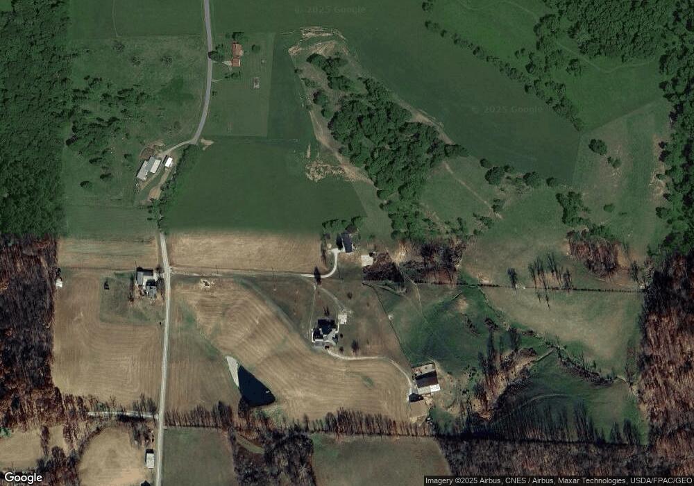
Map
Nearby Homes
- 51650 State Route 26
- 50877 Moore Ridge Rd
- 50911 State Route 26
- 52388 East Dr
- 52777 Main St
- 34739 Miltonsburg Calais Rd
- V/L Miltonsburg-Calais Rd
- 851 Westview Dr
- 208 Center St
- 314 Devon Rd
- 123 Andover Rd
- 108 S Paul St
- 108.5 S Paul St
- 210 E Church St
- 303 High St
- 0 W Captina Hwy
- 333 S Main St
- 306 Monroe St
- 57128 Somerton Hwy
- 0 Rear Township Rd Unit 5181985
- 51578 Moore Ridge Rd
- 51631 Moore Ridge Rd
- 51820 Moore Ridge Rd
- 51924 Moore Ridge Rd
- 0 Moore Ridge Rd
- 39579 Kinzy Ln
- 51431 Moore Ridge Rd
- 39570 Kinzy Lane Rd
- 39570 Kinzy Lane Rd
- 39592 Kinzy Lane Rd
- 52046 Church St
- 52039 Church St
- 52075 Church St
- 52087 Church St
- 52115 Church St
- 52136 Church St
- 52139 Church St
- 51680 Main St
- 51668 Main St
- 51181 Moore Ridge Rd
Your Personal Tour Guide
Ask me questions while you tour the home.