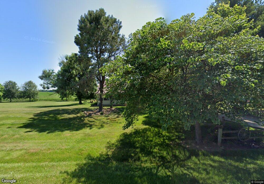
5165 State Route 361 Circleville, OH 43113
Estimated Value: $241,000 - $313,000
3
Beds
1
Bath
1,210
Sq Ft
$227/Sq Ft
Est. Value
About This Home
This home is located at 5165 State Route 361, Circleville, OH 43113 and is currently estimated at $274,137, approximately $226 per square foot. 5165 State Route 361 is a home located in Pickaway County with nearby schools including Logan Elm High School.
Ownership History
Date
Name
Owned For
Owner Type
Purchase Details
Closed on
May 26, 2023
Sold by
Webb Ronald T
Bought by
Webb Ronald T and Webb Cynthia
Current Estimated Value
Purchase Details
Closed on
Sep 15, 2021
Sold by
Webb Ronald T and Webb Cynthia
Bought by
Webb Ronald T
Home Financials for this Owner
Home Financials are based on the most recent Mortgage that was taken out on this home.
Original Mortgage
$109,000
Interest Rate
2.19%
Purchase Details
Closed on
Mar 8, 2006
Sold by
Garrett Charles W and Garrett Betty J
Bought by
Webb Ronald T
Home Financials for this Owner
Home Financials are based on the most recent Mortgage that was taken out on this home.
Original Mortgage
$139,900
Interest Rate
6.22%
Mortgage Type
Purchase Money Mortgage
Purchase Details
Closed on
Mar 1, 1989
Purchase Details
Closed on
Dec 1, 1986
Create a Home Valuation Report for This Property
The Home Valuation Report is an in-depth analysis detailing your home's value as well as a comparison with similar homes in the area
Home Values in the Area
Average Home Value in this Area
Purchase History
| Date | Buyer | Sale Price | Title Company |
|---|---|---|---|
| Webb Ronald T | -- | None Listed On Document | |
| Webb Ronald T | -- | None Available | |
| Webb Ronald T | $139,900 | Chicago Title | |
| -- | $54,900 | -- | |
| -- | $45,900 | -- |
Source: Public Records
Mortgage History
| Date | Status | Borrower | Loan Amount |
|---|---|---|---|
| Previous Owner | Webb Ronald T | $109,000 | |
| Previous Owner | Webb Ronald T | $139,900 |
Source: Public Records
Tax History Compared to Growth
Tax History
| Year | Tax Paid | Tax Assessment Tax Assessment Total Assessment is a certain percentage of the fair market value that is determined by local assessors to be the total taxable value of land and additions on the property. | Land | Improvement |
|---|---|---|---|---|
| 2024 | -- | $75,650 | $14,860 | $60,790 |
| 2023 | $2,483 | $75,650 | $14,860 | $60,790 |
| 2022 | $1,974 | $56,320 | $12,370 | $43,950 |
| 2021 | $2,025 | $56,320 | $12,370 | $43,950 |
| 2020 | $2,051 | $56,320 | $12,370 | $43,950 |
| 2019 | $1,576 | $46,780 | $11,840 | $34,940 |
| 2018 | $1,819 | $46,780 | $11,840 | $34,940 |
| 2017 | $2,624 | $46,780 | $11,840 | $34,940 |
| 2016 | $1,425 | $45,180 | $10,980 | $34,200 |
| 2015 | $1,430 | $45,180 | $10,980 | $34,200 |
| 2014 | $1,433 | $45,180 | $10,980 | $34,200 |
| 2013 | $1,476 | $45,330 | $10,980 | $34,350 |
Source: Public Records
Map
Nearby Homes
- 6386 Zane Trail Rd
- 24 2nd St
- 6516 Zane Trail Rd
- 19 Crystal Dr
- 7183 Kingston Adelphi Rd
- 23 Eastern Ave
- 20702 Us Highway 23
- 25460 Us Highway 23 S
- 527 Jadwin Rd
- 0 Monticello St
- 331 Tarlton Rd
- 311 Tarlton Rd
- 355 Cherokee Dr
- 7178 Ohio 159
- 01 Ohio 159
- 02 Ohio 159
- 03 Ohio 159
- 7241 State Route 56 E
- 25174 Lawnfield Dr
- 0 Tarlton Rd Unit 225008473
- 5169 State Route 361
- 5268 State Route 361
- 5045 Ohio 361
- 4991 State Route 361
- 4961 State Route 361
- 4703 Ohio 361
- 4703 State Route 361
- 5438 State Route 361
- 4897 State Route 361
- 4999 State Route 361
- 4855 State Route 361
- 4761 State Route 361
- Lot 13 Ohio 361
- 0 Lot 7 Ohio 361
- Lot 9 Ohio 361
- 4601 State Route 361
- 0 Ohio 361 Unit L-11 2028705
- 0 Ohio 361 Unit Lot 13 2730575
- 0 Ohio 361
- 4558 State Route 361