Estimated Value: $193,000 - $489,046
--
Bed
--
Bath
--
Sq Ft
20.66
Acres
About This Home
This home is located at 5166 Maefred Dr, Flint, MI 48504 and is currently estimated at $345,349. 5166 Maefred Dr is a home with nearby schools including Col. Donald McMonagle Elementary School, Hamady Community Middle/High School, and Northridge Academy.
Ownership History
Date
Name
Owned For
Owner Type
Purchase Details
Closed on
May 28, 2018
Sold by
Lewis Statha and Lewis Fred
Bought by
Lewis Statha and Lewis Fric Wade
Current Estimated Value
Purchase Details
Closed on
Mar 29, 2011
Sold by
Lewis Feneda O
Bought by
Lewis Fred and Lewis Staha
Purchase Details
Closed on
Mar 4, 2010
Sold by
Lewis Fred and Lewis Statha Mae
Bought by
Statfred Place Llc
Purchase Details
Closed on
Mar 9, 2004
Sold by
Lewis Fred and Lewis Statha
Bought by
Lewis Fred and Lewis Statha
Create a Home Valuation Report for This Property
The Home Valuation Report is an in-depth analysis detailing your home's value as well as a comparison with similar homes in the area
Home Values in the Area
Average Home Value in this Area
Purchase History
| Date | Buyer | Sale Price | Title Company |
|---|---|---|---|
| Lewis Statha | -- | None Available | |
| Lewis Fred | -- | None Available | |
| Statfred Place Llc | -- | None Available | |
| Lewis Fred | -- | Guaranty Title Company | |
| Lewis Fred | $57,000 | Guaranty Title Company |
Source: Public Records
Tax History Compared to Growth
Tax History
| Year | Tax Paid | Tax Assessment Tax Assessment Total Assessment is a certain percentage of the fair market value that is determined by local assessors to be the total taxable value of land and additions on the property. | Land | Improvement |
|---|---|---|---|---|
| 2025 | $4,659 | $251,400 | $0 | $0 |
| 2024 | $1,195 | $248,600 | $0 | $0 |
| 2023 | $1,140 | $213,500 | $0 | $0 |
| 2022 | $4,254 | $172,700 | $0 | $0 |
| 2021 | $3,922 | $162,500 | $0 | $0 |
| 2020 | $988 | $150,400 | $0 | $0 |
| 2019 | $972 | $129,500 | $0 | $0 |
| 2018 | $3,638 | $106,900 | $0 | $0 |
| 2017 | $3,491 | $104,100 | $0 | $0 |
| 2016 | $3,461 | $93,900 | $0 | $0 |
| 2015 | $3,260 | $89,000 | $0 | $0 |
| 2014 | $823 | $71,500 | $0 | $0 |
| 2012 | -- | $72,800 | $72,800 | $0 |
Source: Public Records
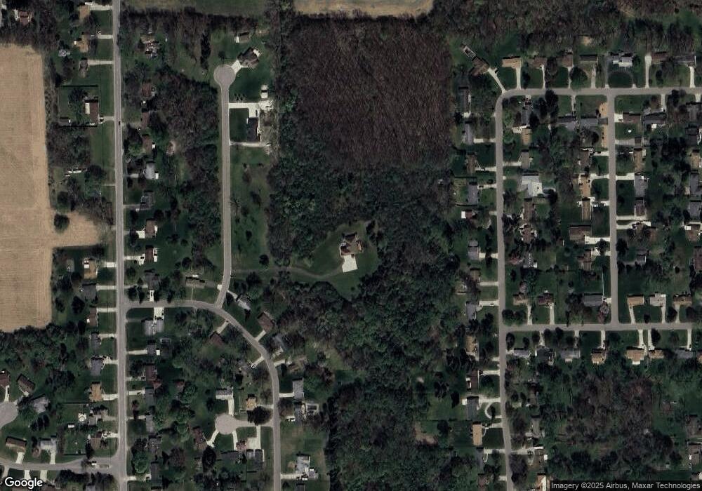
Map
Nearby Homes
- 5109 Killian Ct
- 0 N Jennings Rd Unit 20240003688
- 5095 Camborne Ct
- 0 W Carpenter Rd
- 3203 Martharose Ct
- 3271 W Carpenter Rd
- 5031 Clio Rd
- 4217 Oconner Rd
- 0 Gracelawn Ave
- 6414 Valorie Ln
- 2017 Chateau Dr
- VL W Parkway Ave
- 4039 Oconner Rd
- 1816 Russet Place
- 4184 W Pierson Rd
- 2273 Toby Beth Dr
- 2303 W Coldwater Rd
- 6435 Griswold Dr
- 2262 Toby Beth Dr
- 5905 Cloverlawn Dr
- 5195 Woodcliff Dr
- 5185 Woodcliff Dr
- 5209 Woodcliff Dr
- 5173 Woodcliff Dr
- 5219 Woodcliff Dr
- 5228 Maefred Dr
- 5163 Woodcliff Dr
- 5229 Woodcliff Dr
- 5144 Judith Ann Dr
- 5152 Judith Ann Dr
- 5151 Woodcliff Dr
- 5136 Judith Ann Dr
- 5198 Woodcliff Dr
- 5188 Woodcliff Dr
- 5210 Woodcliff Dr
- 5237 Woodcliff Dr
- 5178 Woodcliff Dr
- 5128 Judith Ann Dr
- 5220 Woodcliff Dr
- 5252 Maefred Dr