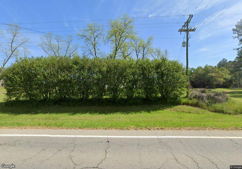
5168 Ga Highway 133 N Doerun, GA 31744
Estimated Value: $588,000 - $1,644,558
--
Bed
2
Baths
--
Sq Ft
120.96
Acres
About This Home
This home is located at 5168 Ga Highway 133 N, Doerun, GA 31744 and is currently estimated at $1,116,279. 5168 Ga Highway 133 N is a home located in Colquitt County with nearby schools including Doerun Elementary School, C.A. Gray Junior High School, and Willie J. Williams Middle School.
Ownership History
Date
Name
Owned For
Owner Type
Purchase Details
Closed on
Apr 4, 2013
Sold by
Grantham Nancy F
Bought by
Gee Haw Farms Llc
Current Estimated Value
Purchase Details
Closed on
Dec 28, 2012
Sold by
Grantham Nancy F
Bought by
Grantham William E and O Nancy F Grantha C
Purchase Details
Closed on
Mar 13, 2010
Sold by
B & G Farms Llp
Bought by
Grantham Nancy F
Purchase Details
Closed on
Sep 28, 2000
Sold by
Batts Margaret Edge Mrs
Bought by
B & G Farms L L P
Create a Home Valuation Report for This Property
The Home Valuation Report is an in-depth analysis detailing your home's value as well as a comparison with similar homes in the area
Home Values in the Area
Average Home Value in this Area
Purchase History
| Date | Buyer | Sale Price | Title Company |
|---|---|---|---|
| Gee Haw Farms Llc | -- | -- | |
| Grantham William E | $185,000 | -- | |
| Grantham Nancy F | $620,621 | -- | |
| Southwest Ga Bank | $92,719 | -- | |
| Southwest Ga Bank | $74,160 | -- | |
| B & G Farms L L P | -- | -- |
Source: Public Records
Tax History Compared to Growth
Tax History
| Year | Tax Paid | Tax Assessment Tax Assessment Total Assessment is a certain percentage of the fair market value that is determined by local assessors to be the total taxable value of land and additions on the property. | Land | Improvement |
|---|---|---|---|---|
| 2024 | $996 | $160,391 | $160,391 | $0 |
| 2023 | $1,026 | $160,391 | $160,391 | $0 |
| 2022 | $1,093 | $160,391 | $160,391 | $0 |
| 2021 | $1,082 | $136,459 | $136,459 | $0 |
| 2020 | $1,070 | $136,459 | $136,459 | $0 |
| 2019 | $1,156 | $136,459 | $136,459 | $0 |
| 2018 | $3,490 | $136,459 | $136,459 | $0 |
| 2017 | $1,081 | $114,042 | $114,042 | $0 |
| 2016 | $1,072 | $114,042 | $114,042 | $0 |
| 2015 | $1,051 | $114,042 | $114,042 | $0 |
| 2014 | -- | $114,042 | $114,042 | $0 |
| 2013 | -- | $114,042 | $114,042 | $0 |
Source: Public Records
Map
Nearby Homes
- 318 E Culpepper Ave
- 417 W Bay Ave
- 511 W Broad Ave
- 512 Hagin Still Rd
- 715 W Robinson Ave
- 104 Union Ln
- 825 N Green St
- 0 Sam Sells Rd
- 1791 Funston Sigsbee Rd
- 340 Belk Rd
- 1485 Bay Rd
- 378 Old S R 33
- 2329 Evergreen Rd
- 102 Schley Church Rd
- 00 Rossman Dairy Rd
- 441 Weaver Rd
- 330/332 Debbie Ln
- 372 Westwoods Dr Unit 21
- 218 Gusty Rd
- LOT 29 Merganser Ln
- 5278 Ga Highway 133 N
- 5290 Ga Highway 133 N
- 5300 Ga Highway 133 N
- 5300 Ga Highway 133 N
- 5300 Ga Highway 133 N
- 1664 Hagin Still Rd
- 1590 Hagin Still Rd
- 1576 Hagin Still Rd
- 5308 Ga Highway 133 N
- 4894 Ga Highway 133 N
- 238 Edge Rd
- 5473 Ga Highway 133 N
- 4895 Ga Highway 133 N
- 5511 Ga Highway 133 N
- 4842 Ga Highway 133 N
- 4976 Ga Highway 133 N
- 5510 Ga Highway 133 N
- 152 Edge Rd
- 4776 Ga Highway 133 N
- 5463 Ga Highway 133 N