5168 Howe Rd Trenton, OH 45067
Wayne Township NeighborhoodEstimated Value: $503,187 - $537,000
3
Beds
2
Baths
2,037
Sq Ft
$257/Sq Ft
Est. Value
About This Home
This home is located at 5168 Howe Rd, Trenton, OH 45067 and is currently estimated at $524,062, approximately $257 per square foot. 5168 Howe Rd is a home with nearby schools including Edgewood Intermediate School and Edgewood High School.
Ownership History
Date
Name
Owned For
Owner Type
Purchase Details
Closed on
Jul 23, 2018
Sold by
Wilson Mark A and Wilson Teresa K
Bought by
Wilson Amanda M and Wilson Joshua M
Current Estimated Value
Purchase Details
Closed on
Jun 30, 1994
Sold by
Countrytyme Inc
Bought by
Wilson Mark A and Wilson Teresa K
Home Financials for this Owner
Home Financials are based on the most recent Mortgage that was taken out on this home.
Original Mortgage
$23,400
Interest Rate
8.66%
Mortgage Type
New Conventional
Create a Home Valuation Report for This Property
The Home Valuation Report is an in-depth analysis detailing your home's value as well as a comparison with similar homes in the area
Home Values in the Area
Average Home Value in this Area
Purchase History
| Date | Buyer | Sale Price | Title Company |
|---|---|---|---|
| Wilson Amanda M | -- | None Available | |
| Wilson Mark A | $31,250 | -- |
Source: Public Records
Mortgage History
| Date | Status | Borrower | Loan Amount |
|---|---|---|---|
| Closed | Wilson Mark A | $23,400 |
Source: Public Records
Tax History Compared to Growth
Tax History
| Year | Tax Paid | Tax Assessment Tax Assessment Total Assessment is a certain percentage of the fair market value that is determined by local assessors to be the total taxable value of land and additions on the property. | Land | Improvement |
|---|---|---|---|---|
| 2024 | $5,462 | $141,340 | $20,230 | $121,110 |
| 2023 | $5,435 | $141,340 | $20,230 | $121,110 |
| 2022 | $4,602 | $106,790 | $20,230 | $86,560 |
| 2021 | $4,402 | $106,790 | $20,230 | $86,560 |
| 2020 | $4,723 | $106,790 | $20,230 | $86,560 |
| 2019 | $5,938 | $87,370 | $20,230 | $67,140 |
| 2018 | $4,063 | $87,370 | $20,230 | $67,140 |
| 2017 | $3,739 | $83,660 | $20,230 | $63,430 |
| 2016 | $3,439 | $74,450 | $20,230 | $54,220 |
| 2015 | $3,298 | $74,450 | $20,230 | $54,220 |
| 2014 | $882 | $47,340 | $20,230 | $27,110 |
| 2013 | $882 | $17,990 | $17,990 | $0 |
Source: Public Records
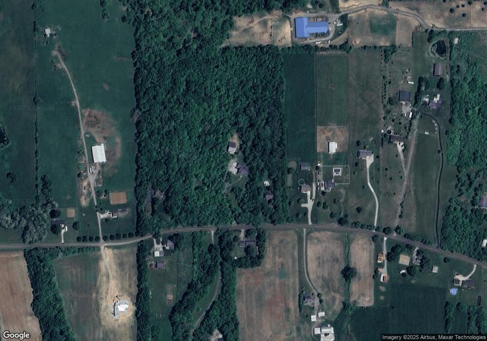
Map
Nearby Homes
- 4951 Thomas Rd
- 772 Countryside Ave
- 730 Countryside Ave
- 754 Countryside Ave
- 719 Brelsford Ave
- 707 Westview Ct
- Bayview I Plan at Arlington Parke
- Abbott Plan at Arlington Parke
- Augusta Plan at Arlington Parke
- Madison Plan at Arlington Parke
- Charleston Plan at Arlington Parke
- Ambrose Plan at Arlington Parke
- Bayview Deluxe Plan at Arlington Parke
- Savannah Plan at Arlington Parke
- Kingston Plan at Arlington Parke
- Baybrook Plan at Arlington Parke
- Bayview II Plan at Arlington Parke
- Seabrook Plan at Arlington Parke
- Austin Plan at Arlington Parke
- Springfield Plan at Arlington Parke